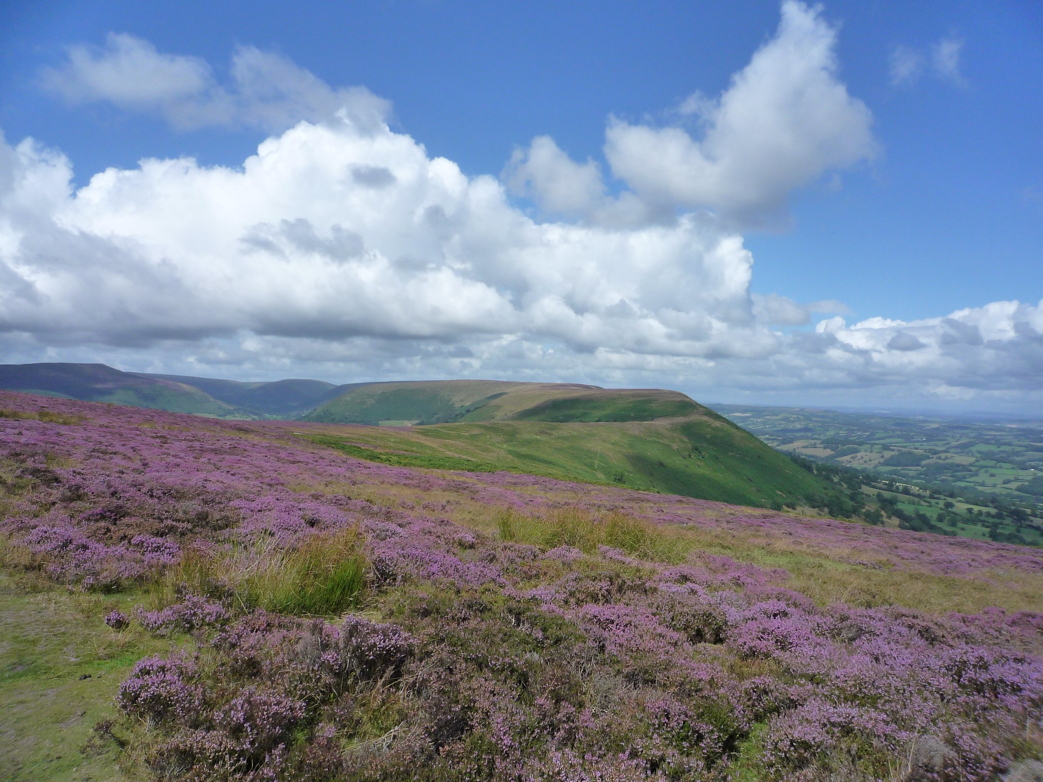
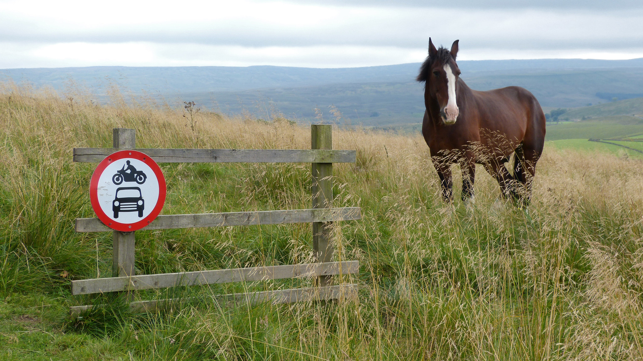
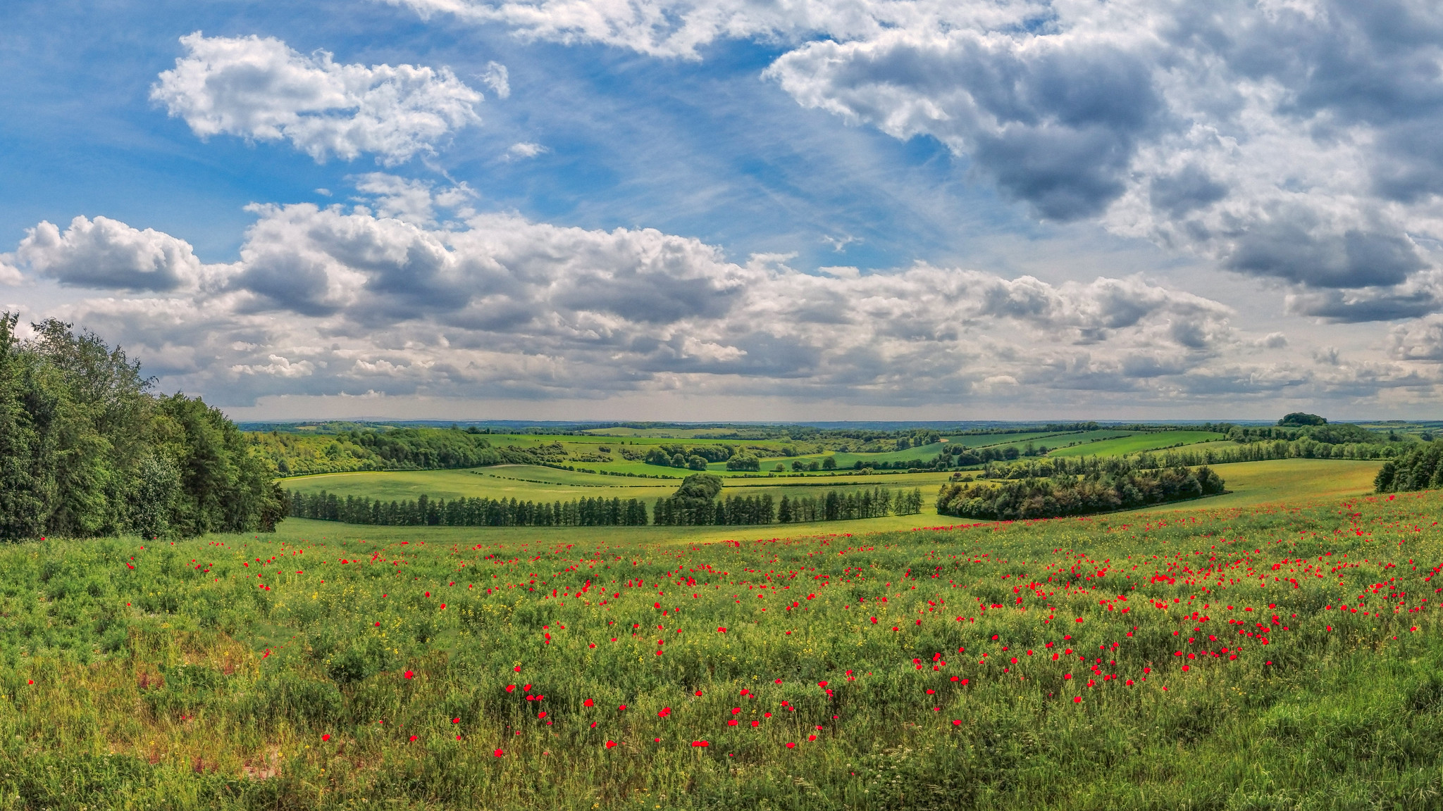
Often described as the ‘jewels in the crown’ of the UK’s enviable path network, our National Trails offer some of the best walking in Britain. Each individual route is unique and spectacular, passing through a series of the most beautiful and diverse landscapes in England and Wales. If you’re keen on going walking north of the border, then check out Scotland’s Great Trails, which includes paths such as the West Highland Way, the Great Glen Way, the Southern Upland Way and the Speyside Way.
Varying in length and difficulty, there is a National Trail to suit everyone.
The most dedicated walkers set out to hike a complete trail in one go, carrying all their kit as part of a multi-day backpacking adventure. Others do the same but use a porter service to ferry their kit from place to place, staying at campsites, B&Bs or other accommodation. And many people tackle individual sections of a trail over the course of a single day or weekend, gradually completing the walk stage by stage over a few weeks, months or even years. Some masochists even fastpack or run the National Trails, covering impressive distances in a matter of hours. One thing is for sure though – whichever National Trail you decide to take on, and however you choose to do it, it will be an unforgettable experience.
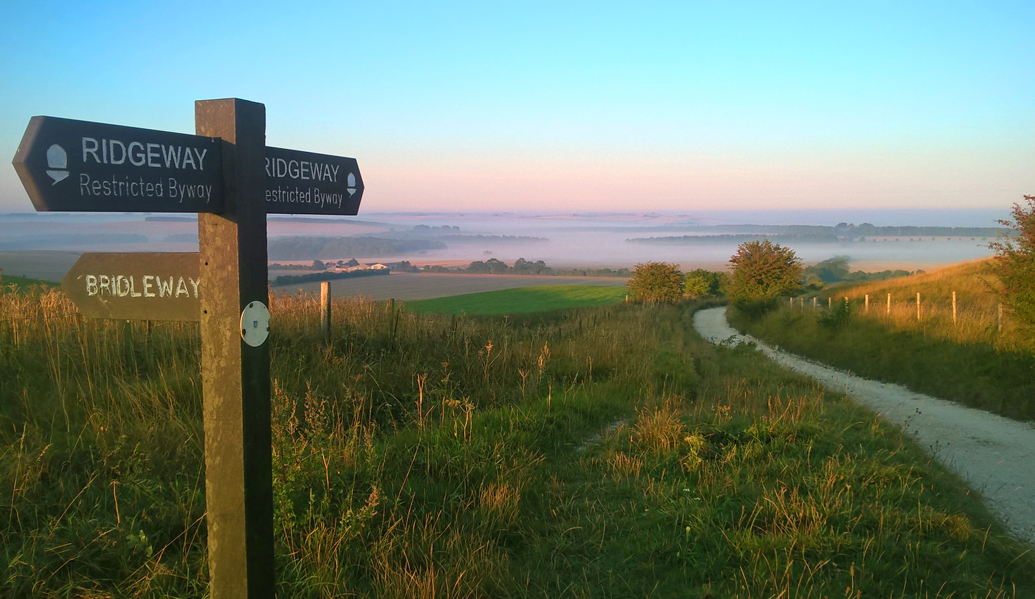
Pennine Way
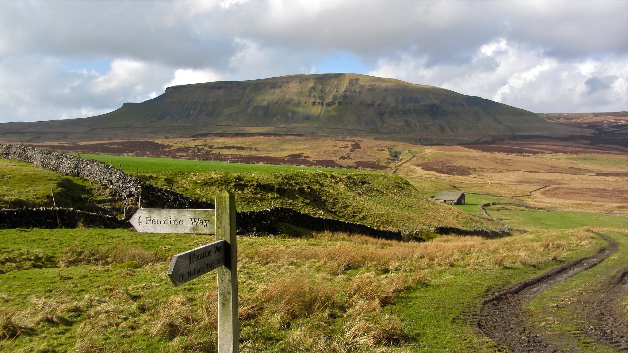
Distance: 268 miles
Days: c. 16 days
The venerable Pennine Way is a high-level route that snakes its way up the spine of England over the course of 268 miles, beginning at Edale in the Peak District and finishing at Kirk Yetholm in the Scottish Borders. En route, it passes through a rugged landscape of upland moors and peaks, including parts of the Dark Peak, the Yorkshire Dales, the North Pennines and the Cheviot Hills. In general, it takes the average walker about 16 days to complete the entire route.
Related: Best Backpacks For Trekking
Perhaps the most famous long-distance walk in Britain, it was the first to be officially designated a National Trail, way back in 1965. As such, it’s often regarded as the granddaddy of them all. That doesn’t mean it should be underestimated, however. The Pennine Way is a tough walk that makes its way across some demanding terrain, including the summit of Cross Fell. At 893m (2,930ft) this is the highest point on the entire route. It is frequently shrouded in dense hill fog and battered by fierce winds, including the shrieking ‘helm wind’ – a strong north-easterly that is notorious for being the only named wind in Britain.
Don’t let that put you off though. The Pennine Way is a truly spectacular walk that has been described as something that every walker should attempt at least once in their lifetime. Indeed, its charms have proved so alluring to some that they have walked it numerous times, in all seasons.
“The Pennine Way is my favourite National Trail. I was born just six miles off the route, and it was born seven years after me, so we were bound to become acquainted. I walked the route three times in order to create and update my Pennine Way guidebook. I love how it consistently heads for the heights and open moorlands wherever possible. I’ve experienced the route on lovely summer days, as well as on dreary rainy days, and when the bogs have been frozen solid in harsh winters. I like the variety of upland scenery, the contrast with the verdant dales, the welcoming little towns and villages, and its history and heritage.” Paddy Dillon, outdoor writer and photographer (paddydillon.co.uk)
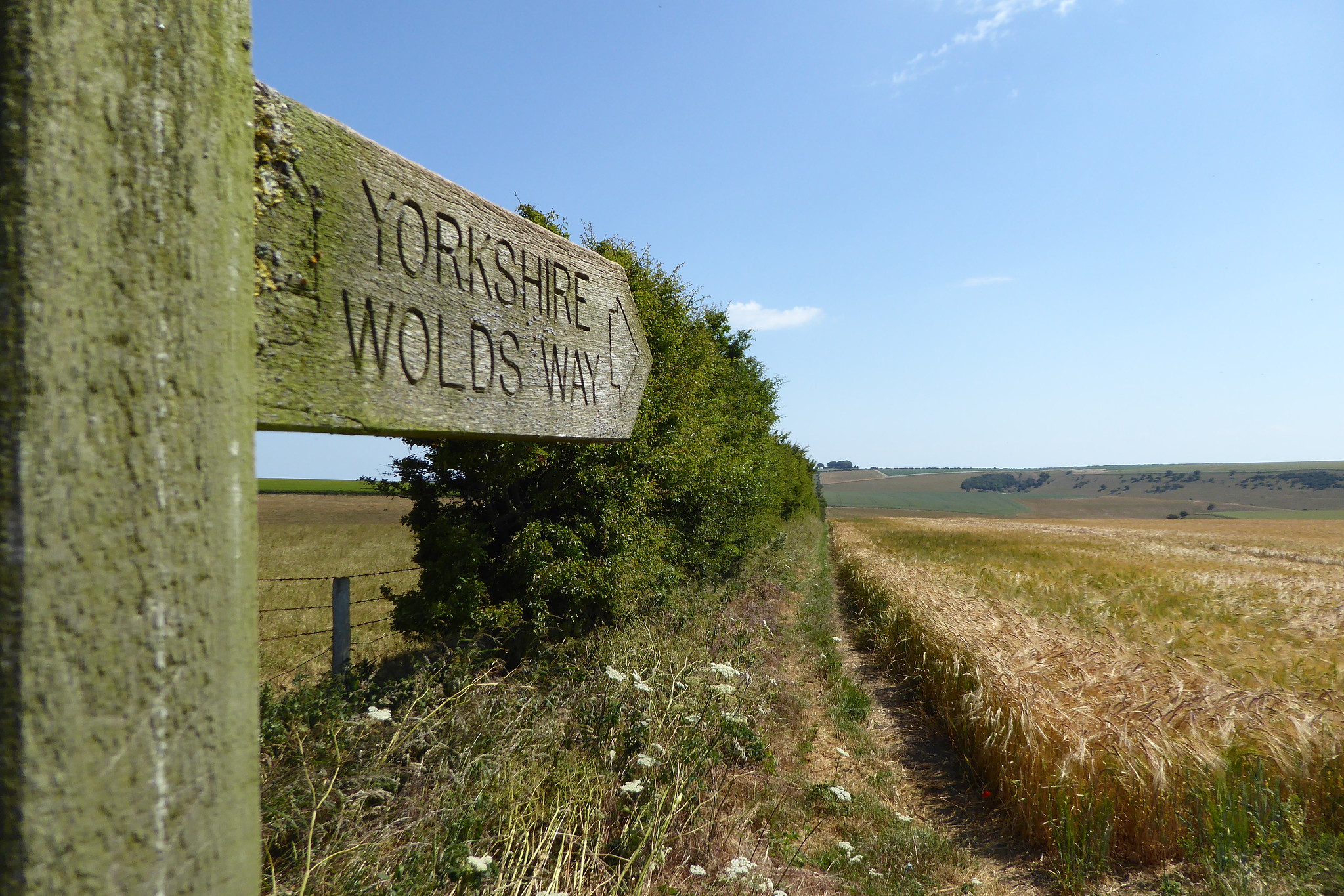
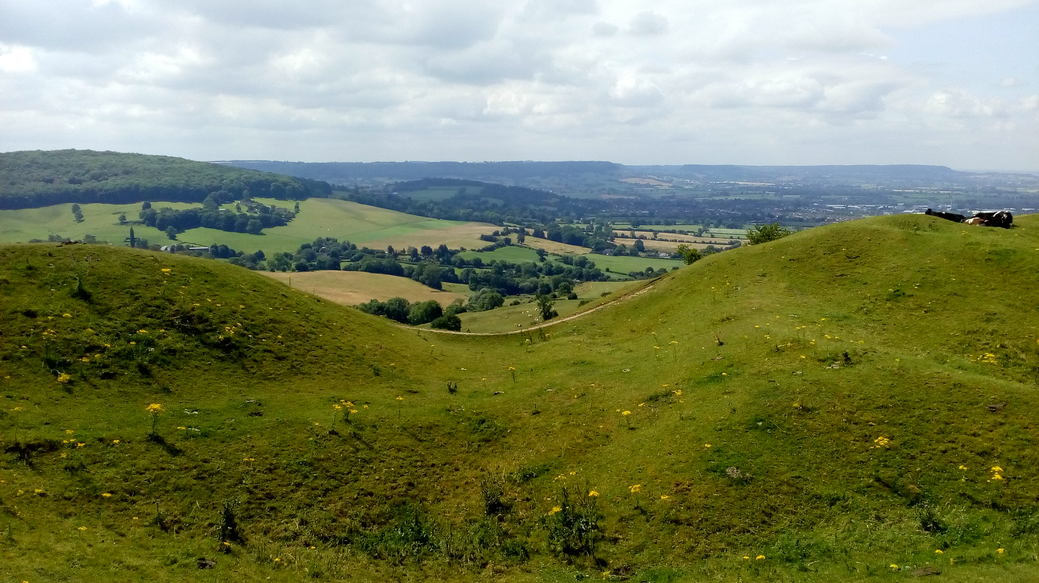
Cleveland Way
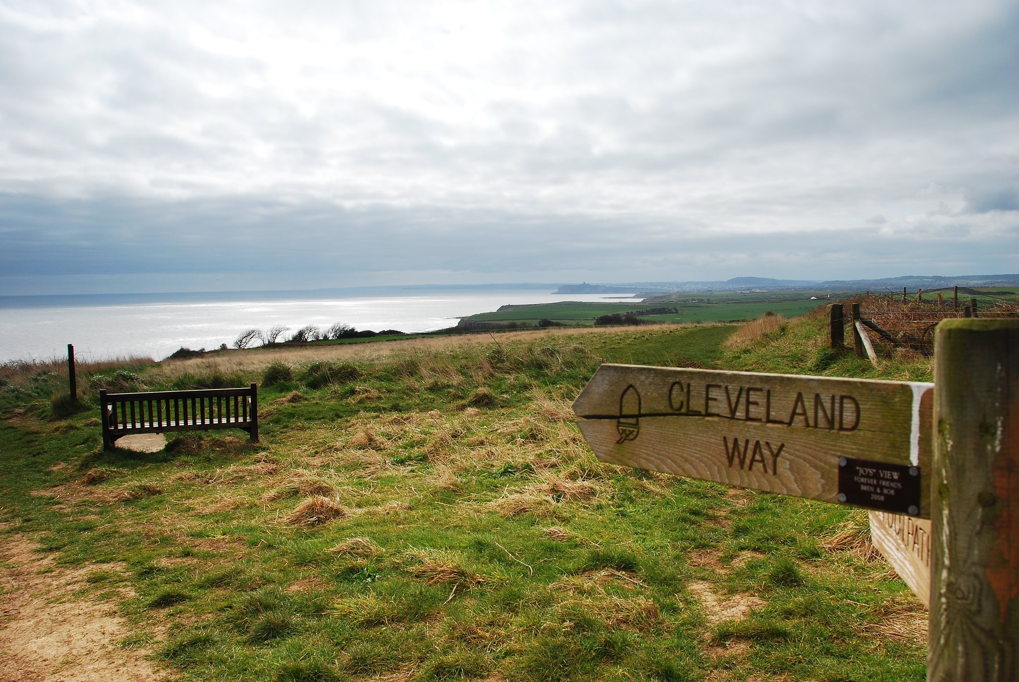
Distance: 110 miles
Days: c. 9 days
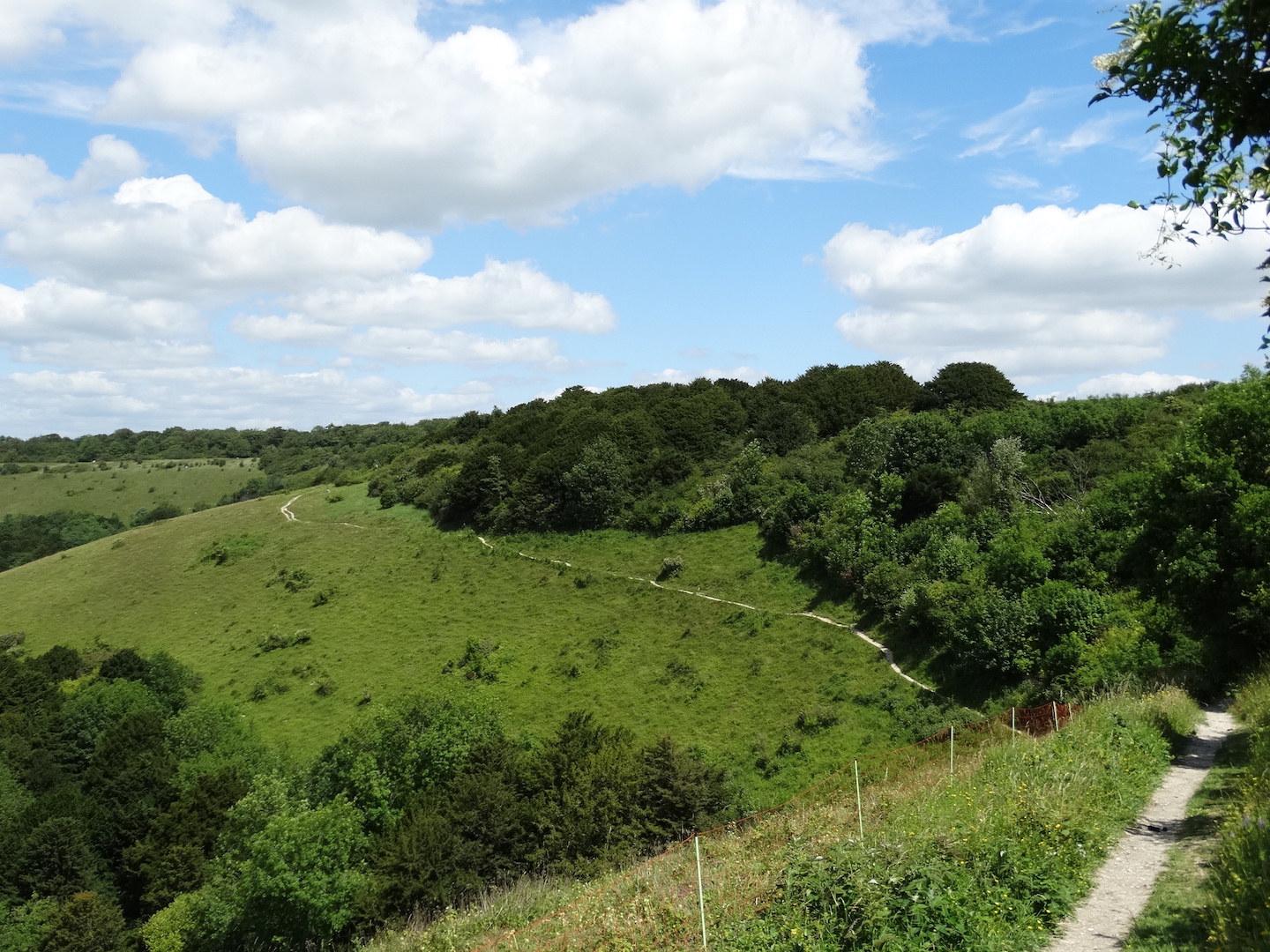
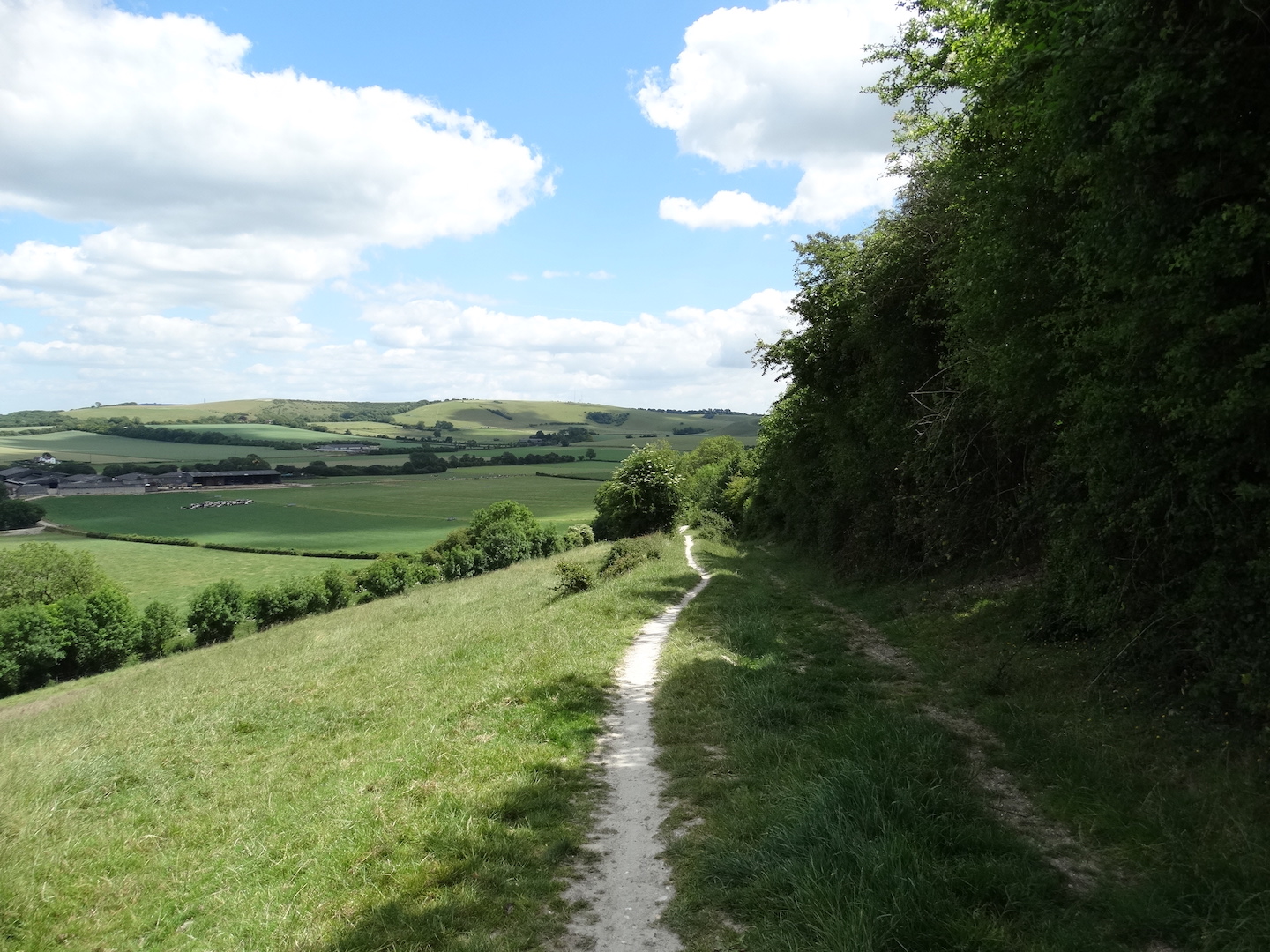
The 110-mile Cleveland Way takes in a broad swathe of North Yorkshire, forming a rough horseshoe between the market town of Helmsley and the former fishing village of Filey, now a popular seaside spot. Much of the route skirts the North York Moors National Park, while a long stretch also follows the North Sea coast. As such, walkers on the trail experience an alternating of dramatic clifftops and miles of open heather moorland. It offers plenty of opportunities to spot wildlife en route, along with panoramic views, historic castles, prehistoric sites and hidden smugglers’ haunts.
Related: Best Walking Poles
With good connections to other long-distance paths, including the Yorkshire Wolds Way, and even a link trail that enables the Cleveland Way to be completed as a circular route, it is a trail that is often combined with others. Even tackling the Cleveland Way on its own is a real challenge, however, as the North York Moors can be a wild and lonely place. Similarly, the high cliffs of the North Sea coast are often exposed to gales and lashing rain. This makes the Cleveland Way a good proving ground for any aspiring long-distance walker.
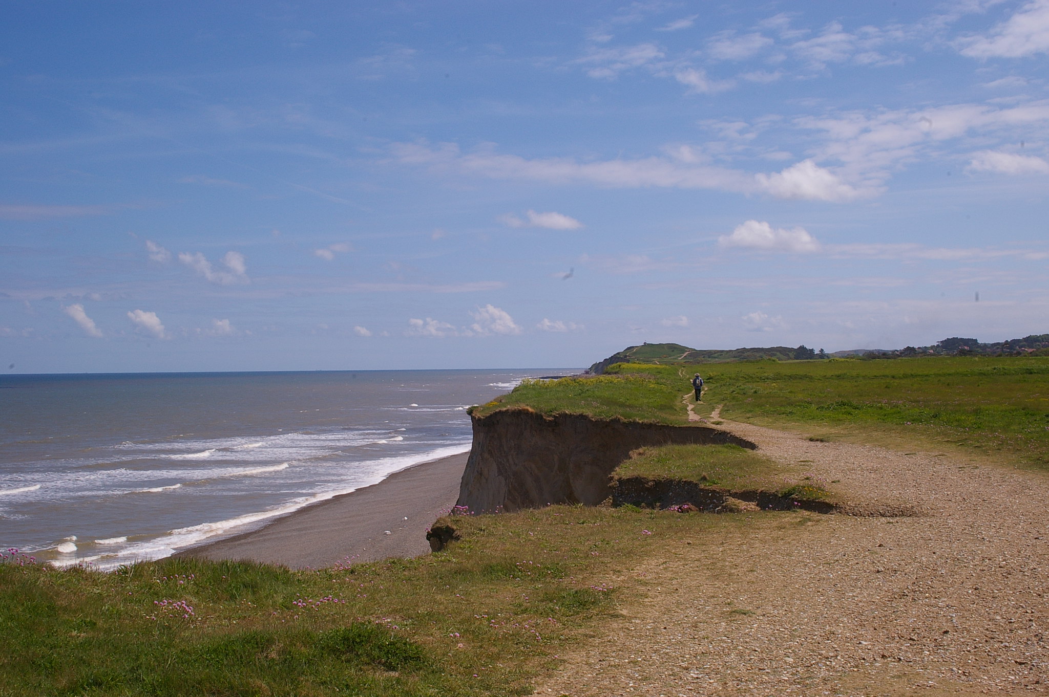
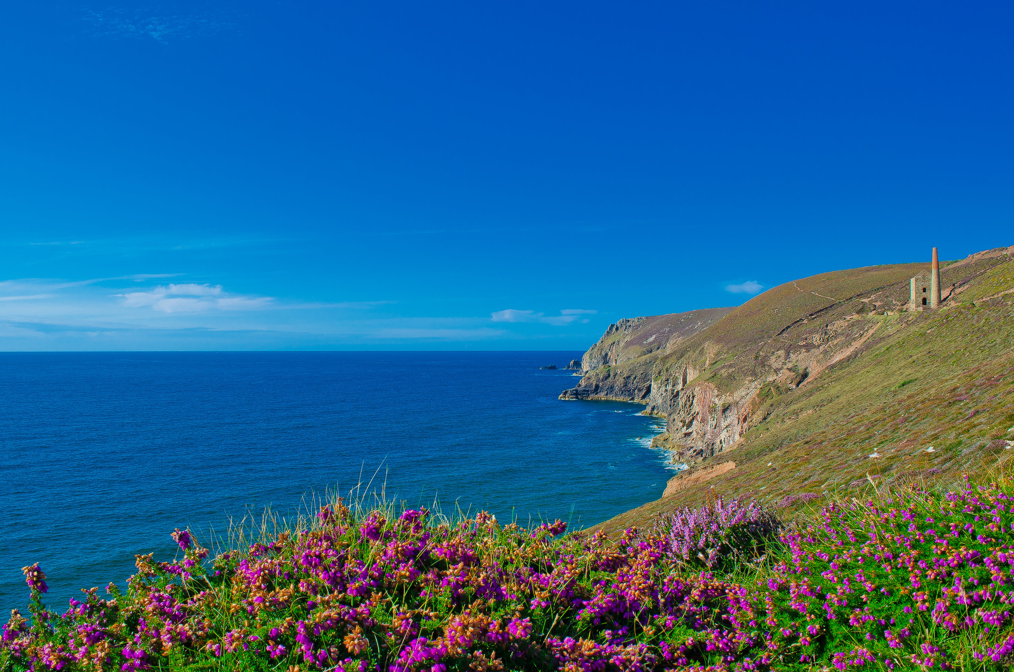
South West Coast Path
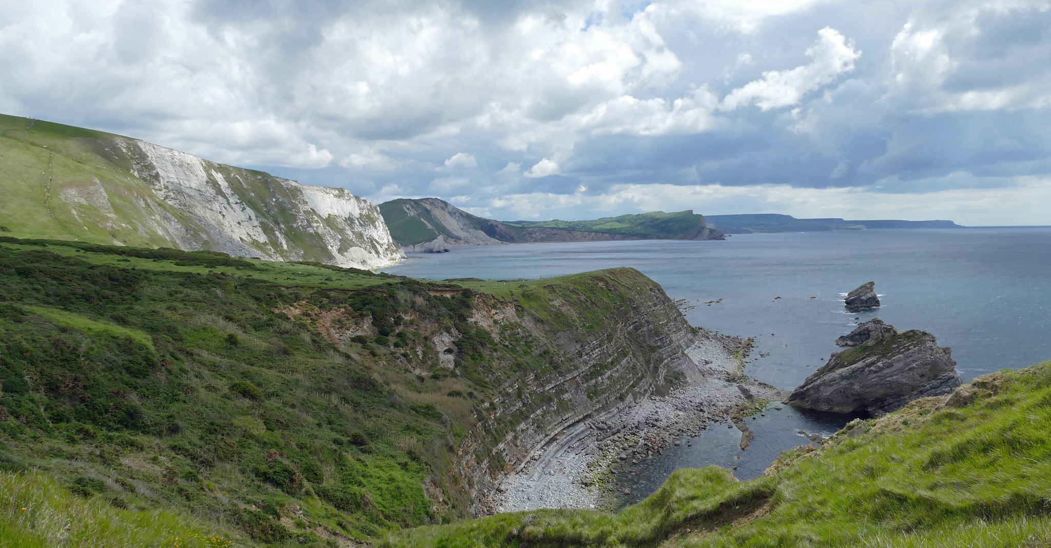
Distance: 630 miles
Days: c. 8 weeks
Following the jagged coastline of South West England from Minehead in Somerset to Poole in Dorset via Land’s End in Cornwall, the South West Coast Path is a long-distance walk of epic proportions. At 630 miles in total, it is the longest of the National Trails. Such serious mileage as well as the fascinating wealth of heritage, wildlife, geology and scenery along the way means that there is an awful lot to take in. As such, it’s a popular trail to walk in stretches, and can be easily split into manageable sections.
The route passes through a series of stunning landscapes including National Nature Reserves and Heritage Coasts, as well as five Areas of Outstanding Natural Beauty, two World Heritage Sites, a UNESCO designated Biosphere reserve, a Geopark and a National Park. It also visits a host of charming coastal towns and villages. Don’t get the idea that it’s all paddles in the surf and ice creams on the beach though – walking the South West Coast Path is a serious undertaking, with plenty of up and down. In fact, those who complete the entire route will have climbed over 115,000 feet. That’s nearly four times the height of Mount Everest.
“A strip of wilderness, with ordinary life over to one side, and that endless horizon to the sea over to the other side. It’s like a world of its own”. Raynor Winn, author of The Salt Path.
Pembrokeshire Coast Path
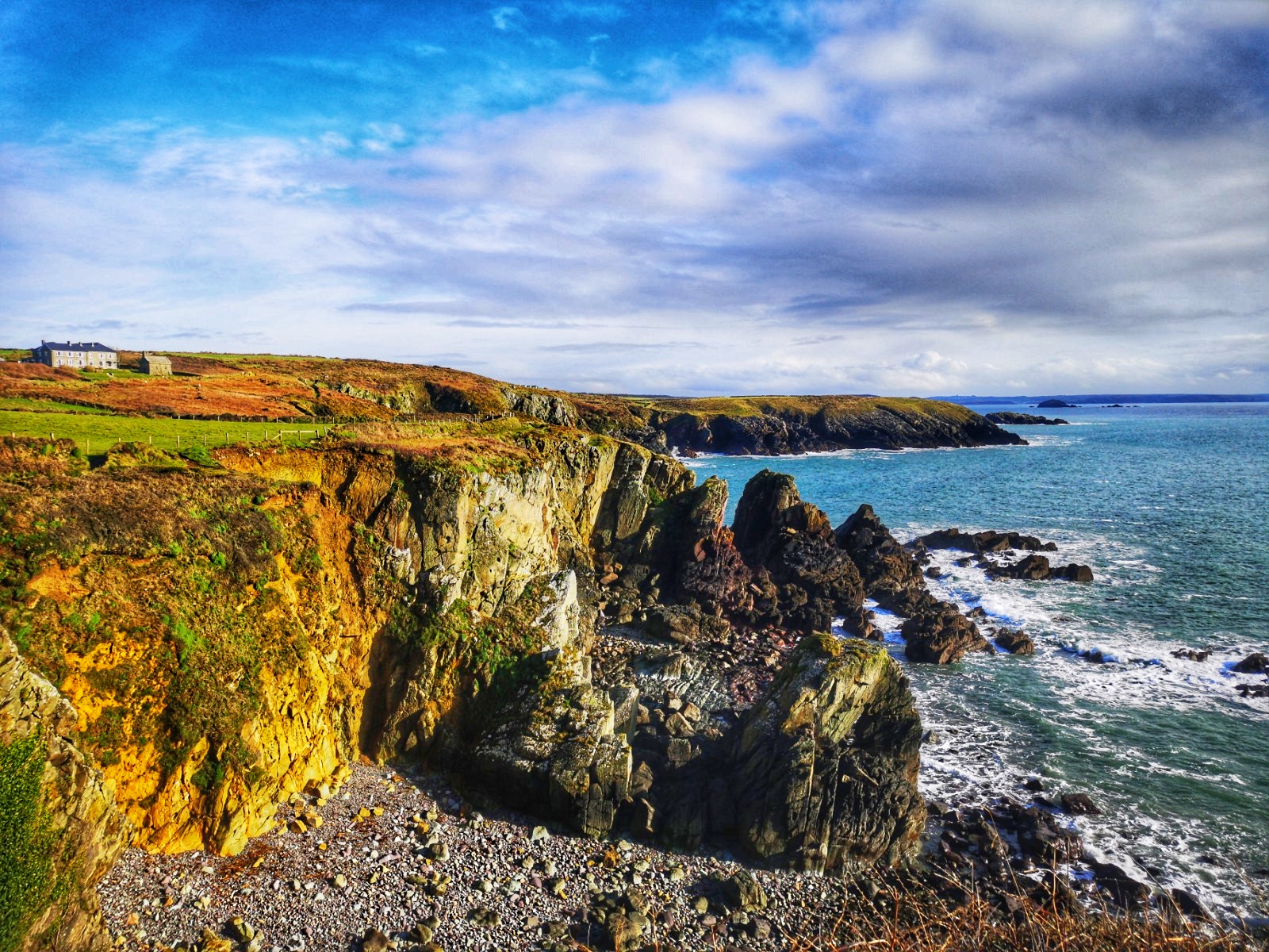
Distance: 186 miles
Days: c. 14 days
Famous for its sweeping beaches and windswept cliffs, as well as meandering estuaries and sheltered coves, the Pembrokeshire Coast boasts some of the UK’s most spectacular and unspoilt coastline. It is the nation’s only truly coastal national park, and the Pembrokeshire Coast Path is the perfect way to explore all that this beautiful region has to offer. Stretching for 186 breath-taking miles, it reveals stunning landscapes but also involves plenty of ascent and descent. As such, the coast path represents a serious challenge for long-distance walkers. However, it is more commonly walked in shorter sections, with various manageable stretches linking a series of welcoming fishing ports and coastal villages. That approach gives visitors the opportunity to return to this charming corner of southwest Wales time and time again – undoubtedly a good thing, for Pembrokeshire has a certain magical allure that bewitches many lovers of the outdoors.
“I walked the entire Wales Coast Path a few years ago and, as I had expected, the Pembrokeshire Coast Path was a real highlight of it. I love the nature of the path itself, often narrow singletrack, bobbing up and down from clifftops to coves. Then of course, there are the beaches it encounters and the sheer variety of them, ranging from tucked away places like Cwm yr Egylwys and Caerfai to the sweeping expanses of Poppit Sands and Newgale. Oh and the pubs… so many good pubs.” Will Renwick, editor of Outdoors Magic.
Hadrian’s Wall Path
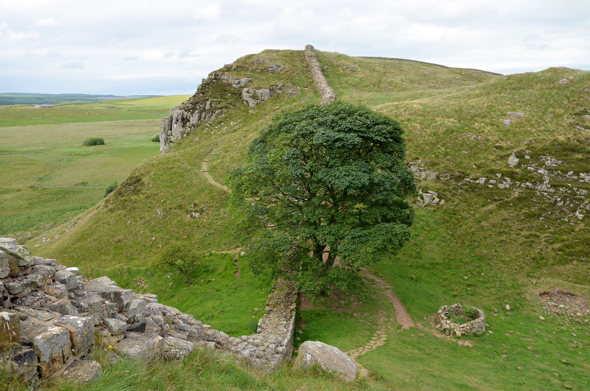
Distance: 84 miles
Days: c. 6 days
Roughly tracing the course of one of Britain’s most famous ancient monuments, the Hadrian’s Wall Path is an undulating 84-mile coast-to-coast walk across northern England. Usually tackled from east to west, it takes walkers from Wallsend on the River Tyne to Bowness-on-Solway in Cumbria. The most spectacular section of the route follows the Whin Sill, a rocky escarpment that is one of the most dramatic natural features of the North Pennines and Northumberland.
Hadrian’s Wall itself was a defensive fortification built by the Romans from AD 122 to AD 128 to mark the northern border of their empire. Though not all the wall still stands today, many sections remain intact, incorporating various forts and milecastles. The best-preserved example is at Housesteads, now owned by the National Trust. The fort acts as a stark reminder of the power and might of the Roman Empire. For any walker with an interest in archaeology or the history of the British Isles, the Hadrian’s Wall Path is the ideal way to quite literally tread in the footsteps of our forebears.
“I was asked to write a Hadrian’s Wall Path walking guide for Cicerone back in 1990, a dozen years before the National Trail was inaugurated. The magic of plotting a virgin route, tracing the frontier’s enigmatic archaeological remains from coast to coast was so special. That thrill has never left me.” Mark Richards, author of Walking Hadrian’s Wall Path (countrystride.co.uk)