How to Predict a Cloud Inversion | Lansdscape Photography Advice - Outdoors Magic

Outdoors Gear, Equipment, News, Reviews, Forums, Walking Routes and More at OutdoorsMagic.com

Share

How To Guides

How to Predict a Cloud Inversion | Lansdscape Photography Advice

Peak District-based landscape photographer Tom Watkinson on how he judges weather conditions and times his trips correctly in order to catch the perfect mountain spectacle

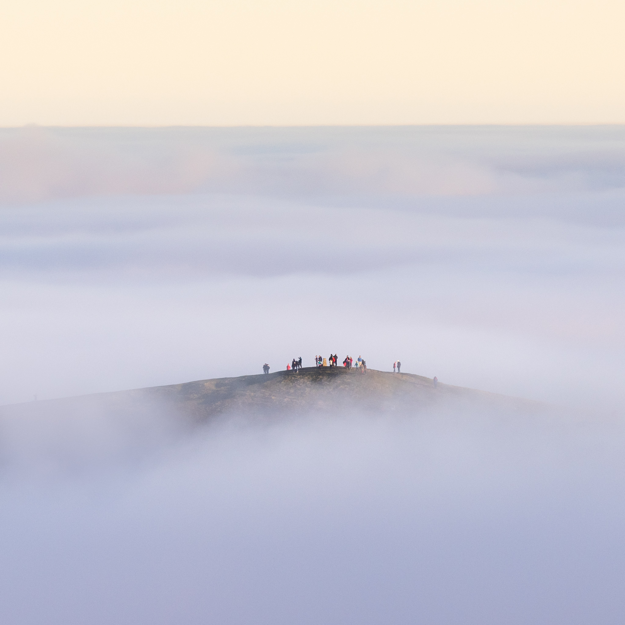
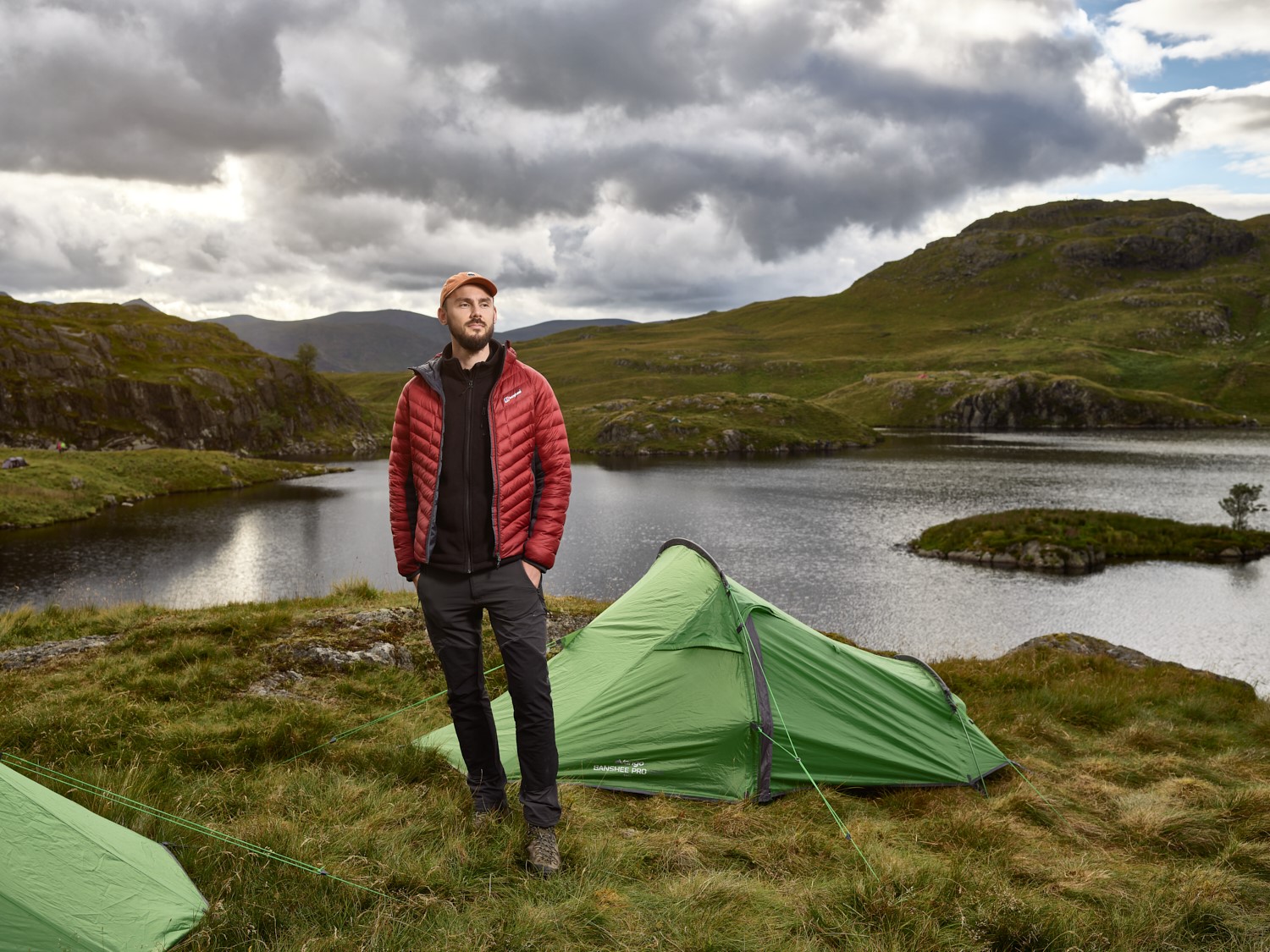
Over my years of hiking and photographing vistas across the best regions of the UK, the most memorable moments are when I’ve been stood high above the landscape, waiting for the sun to rise, as the valley below slowly fills with mist in what is known as a ‘cloud inversion’. You can’t help but feel a little smug knowing that down below it is cold, damp and misty, whilst the sun rises gloriously above it.

Thor’s Cave in the Manifold valley (November 2020). Photo: Tom Watkinson

Cloud inversions are, in my opinion, one of the best spectacles to witness as a hiker, photographer, fell runner or whatever past-time has you out on the hills. In principle, the phenomenon occurs when you get a perfect concoction of cold temperatures and high pressure. Sounds simple, right? Well they can be quite elusive still, and they’re governed by a number of factors, but with a good understanding of how they form and what to look for in the weather forecasts, you can increase your chances of seeing one.

Weather Patterns to Look Out For

The phrase ‘cloud inversion’ is somewhat of a nickname. The correct terminology of what you are witnessing is a temperature inversion. The standard meteorological profile is that temperature reduces with height (generally about 2°C for every 300m), whereas during a temperature inversion, it gets warmer as you go up (to a point), with cold air being trapped at ground level. A tell-tale sign of a temperature inversion is to look out for smoke from a chimney because it will rise to a level then plateau off horizontally. The reason for this change in profile is that cold air sinks, therefore on calm, cold and in particular clear nights, the ground (and air above it) rapidly cools and sinks in to the valley floors. As the air cools, it becomes saturated and the moisture forms into mist. However, once the sun has risen the clouds will dissipate into a haze before clearing entirely.

Morning mist swelling in the valley near the Langdales, Cumbria (October 2021). Photo: Tom Watkinson

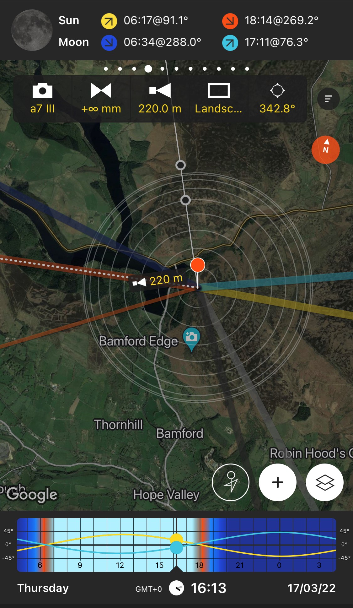
Apps like Ventusky are perfect for assessing if a temperature inversion profile is forecasted, as you can check the temperatures at ground level and at various elevations above. An example of what to look for, would be an increasing temperature from ground level and then a sudden drop between 500m-1500m above ground level. Temperature inversions can happen at any elevation, but you want to look for them at an elevation lower than you intend to be. To put that into perspective, the highest peaks in the three nations of Great Britain are Ben Nevis at 1345m, Snowdon at 1085m and Scafell Pike at 964m.

Elevation Temperature

0m (ground level) 1 degrees
+2m 2 degrees
+500m 3 degrees
+750m 1 degrees
+1000m 0 degrees

Example inversion profile

Moisture Levels and Dew Point

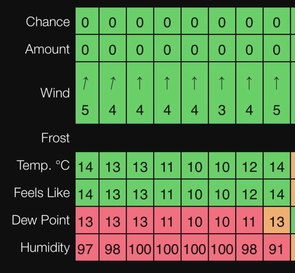
If the temperature of the cold air drops below the ‘dew point’, then any moisture will condense into the atmosphere and generate mist. A good starting point to witness inversions is along rivers and by lakes, as there is an abundance of moisture to condense into mist. If the dew point is too low and the temperature does not cool enough to meet it, then the mist will not form. For example, if the dew point is forecast to be 4 degrees Celsius and the temperature forecasts is 2 degrees Celsius, then it is likely mist will form. Humidity also plays a part in that if the weather has brought sufficient moisture off the sea, then it can increase the dew point, and you are even more likely to get mist as the temperature drops.

A great phone app to use to check your dew point and humidity is Clear Outside. Humidity that’s generally greater than 90%, and temperature matching or lower than the dew point is what to look out for.

Screenshot from the App ‘Clear Outside’ showing Dew Point and Humidity at dawn for a successful cloud inversion

Wind Speed

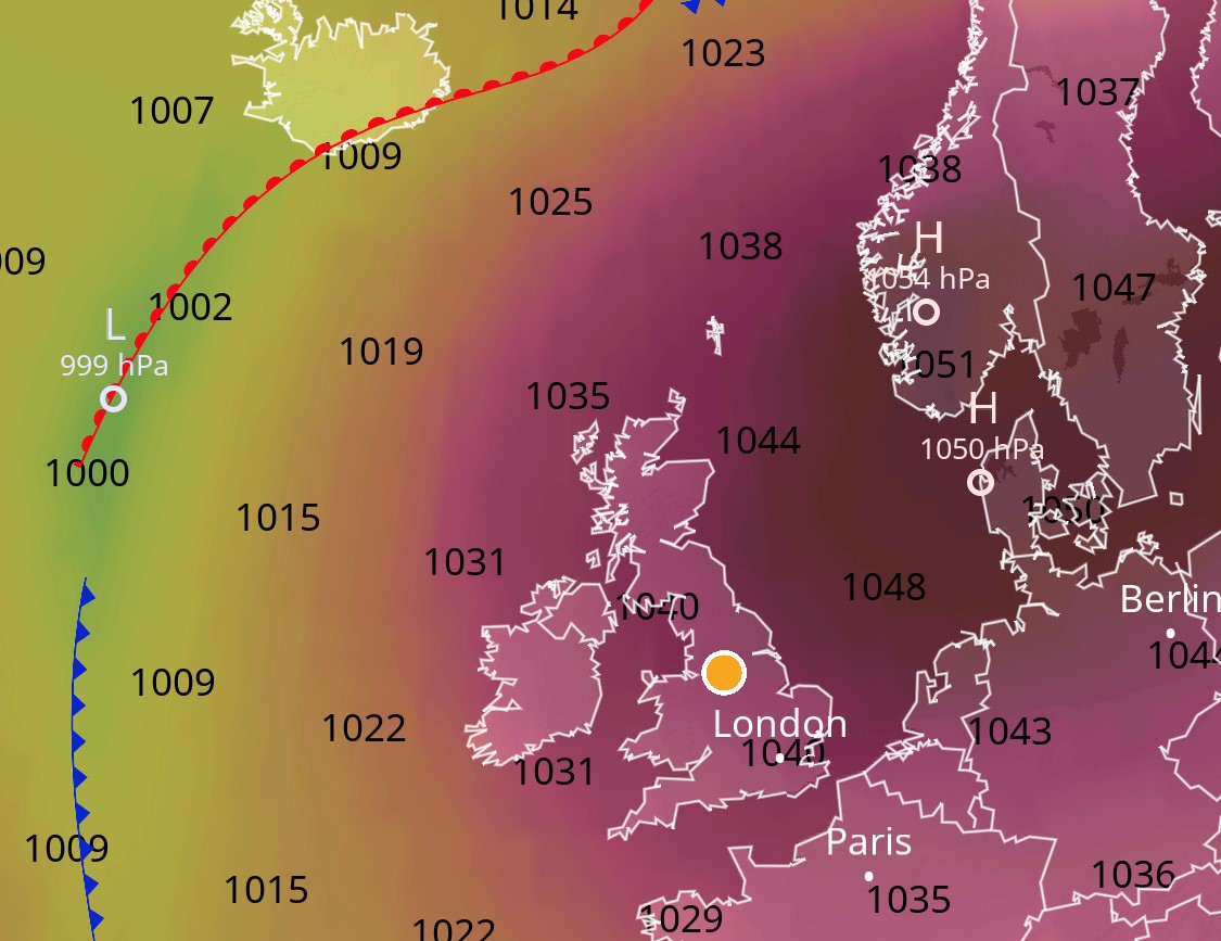
It probably does not need saying that as the mist forms, high winds will simply blow it away. In my experience, the best inversions have been when the wind speeds were less than 4mph, and in fact gentle breezes can help supply the inversion with moisture. In extreme cases of high pressure (anything over 1030mb) and in combination with low cloud or fog forecasts, you can have cloud inversions resilient enough to resist higher wind and may in fact last for days at a time!

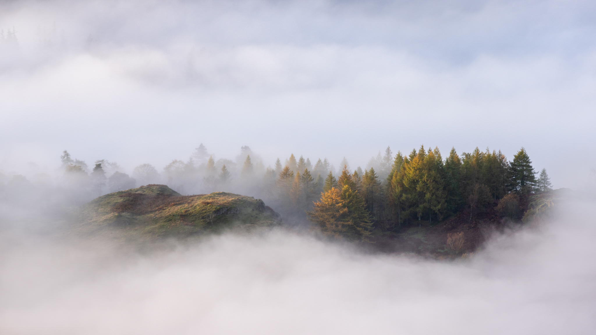
This photo below was taken at 4pm during a rare spell of pressure over 1040mb.

Mam Tor (Peak District) Photographed from Rushup Edge (December 2021) Photo: Tom Watkinson

Time of Year

Cloud inversions are most common in autumn and winter when the nights are longer, which allows more time for the air close to the ground to cool and as a result less moisture content is required to saturate it. The comparatively weak sunlight of this time of year also prevents the ground from getting too warm.

High Pressure & Weather Fronts

High pressure or anticyclones, as they are known in meteorological terms, bring about longer periods of stable weather and little to no wind. Combined with long nights and weak sunlight of the autumn and winter period and you will have the perfect set of conditions for cloud inversions to form.

Screenshot from App ‘Ventusky’ showing high pressure (right) and low pressure (left)

A weather front is a boundary between two air masses and can be quite turbulent making these spells impossible for anyone chasing cloud inversions. Apps like Ventusky or Windy have symbolic representations of weather fronts in the form of isobars and pressure centres that make it easier to spot these upcoming conditions and understand how long they will last for.

Topography

The shape of the valleys, wind direction and how the weather will interact with the landscape can also determine whether you will see one at all (even if all the other data says you might). It is worth considering where you are planning on hiking and looking at the direction of the valley relative to the wind direction. A gentle wind blowing away from you could be enough to fill the next valley, instead of the one you are in. In my experience, trial and error will soon get you familiar with these local governing factors.

Screenshot from App ‘Photo Pills’ showing the direction of sunrise & sunset

It is also useful to have an idea on which direction the sun will rise from, particularly if you are planning on photographing the cloud inversion. Although it does not affect whether it will or will not occur, you may want the sun in front of you so that you can watch the first morning light breach the horizon and cast an orange glow across the top of the inversion. Apps like Photo Pills are appropriate for checking the direction of the sunrise for the time of year. It also has a satellite view, so you can identify the direction of the valleys in relation to it.


What Apps Should You Use?

Although a lot of services offer interpretation of data from the same source (usually Met Office), smartphone based apps offer a simple way to access an abundance of data in various visual representations, allowing you to spot the tell-tale signs of a cloud inversion over a week in advance. Obviously, the accuracy of a forecast a week in advance is much less reliable than a day or 12 hours in advance but having access to this information allows you to closely monitor the changing weather patterns, so that when the opportunity does present itself, you are planned and ready to act on it. Local webcams are also a great help (if you can find one on a google search) and in particular if they have night vision, you can sometimes spot the morning mist developing a few hours before sunrise.

Weather apps either free or for purchase on Android and iPhone:

• Ventusky
• Windy
• Met Office
• Clear Outside
• Photo Pills
• The Photographer’s Ephemeris

Final Words of Advice

Witnessing a cloud inversion requires planning, and if you are set on seeing one then endeavour to choose your location by following the weather forecast, rather than hoping to be lucky.

Winnat’s Pass, Peak District (November 2021). Photo: Tom Watkinson

There are also different scales of inversion from a small amount of low morning mist, to what I call ‘valley fillers’. The photograph below of Chrome Hill (Peak District) took many visits to achieve the right level of mist for the photograph, but I valued each of the excursions previous to it, as each one was different and equally enjoyable.

Chrome Hill looking towards Parkhouse Hill, Peak District (March 2022). Photo: Tom Watkinson

Weather forecasts can often change overnight, so check your weather data before you leave and have a backup location in mind. Notwithstanding, the weather forecasts can also be wrong altogether, so if you don’t get a cloud inversion, enjoy your time outdoors and simply try again another time.

Tom Watkinson is a landscape photographer from the Peak District with a particular interest in capturing unique weather conditions in his images. You can find him on social media @tomwatphoto or tomwatphoto.com

You May Also Like:

How to Photograph a Glowing Tent

An Expert’s Guide to Winter Mountain Photography

Best Camera Backpacks Reviewed


Newsletter Terms & Conditions

Please enter your email so we can keep you updated with news, features and the latest offers. If you are not interested you can unsubscribe at any time. We will never sell your data and you'll only get messages from us and our partners whose products and services we think you'll enjoy.

Read our full Privacy Policy as well as Terms & Conditions.

production