This is part of our series with Komoot, the route planning app for runners, bikers, and long-distance hikers. We’ve reached out to local experts and asked them to plot their five favourite walking routes.
Covering the grassy coastal region of Exmoor we have Jennie Wild and her husband, Malcolme. These two are seasoned walkers who know everything there is to know about the area. Together, they run Wild About Exmoor, a central hub of resources for anyone looking to plan their next holiday in the UK. As well as helping you plan your trip and even organising accommodation, Jennie and Malcolme provide guided tours of Exmoor, offering a range of private walks in the day, and opportunities for star gazing during one of their night hikes. Without further ado, here are their five best walks in Exmoor.
Take it away, Jennie:
The Best Walks in Exmoor
- Valley of the Rocks and Wringcliffe Bay
- Dulverton to Exford via Marsh Bridge and Tarr Steps
- Exford to Dulverton via Winsford and Yellowcombe Cottage
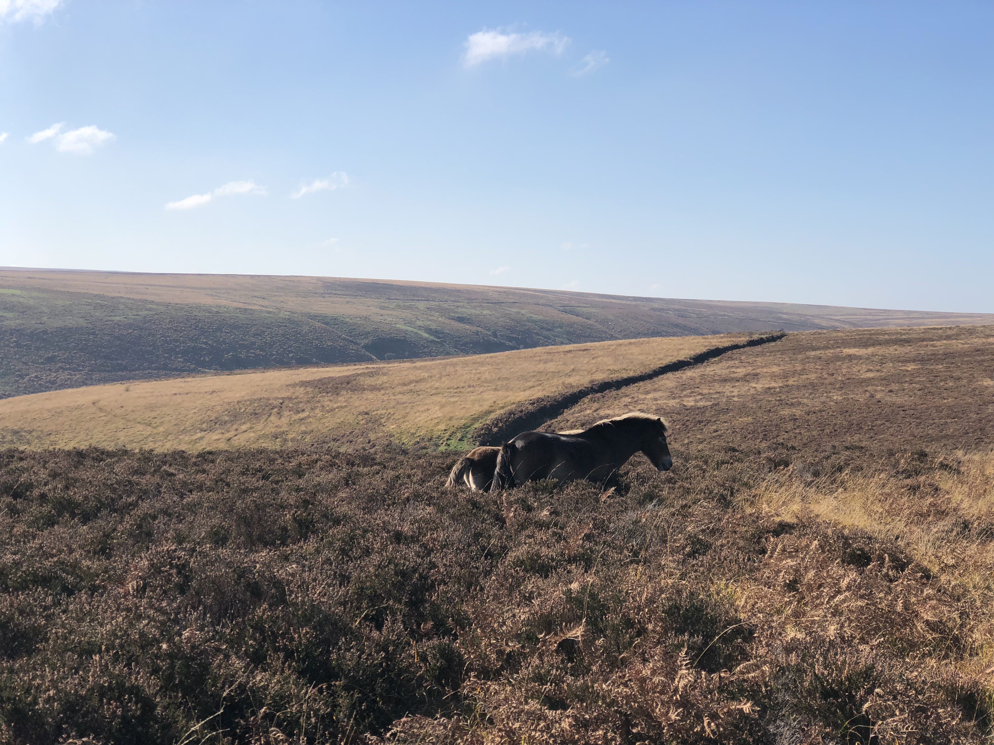
- Lorna Doone Valley
- Room Hill Circuit
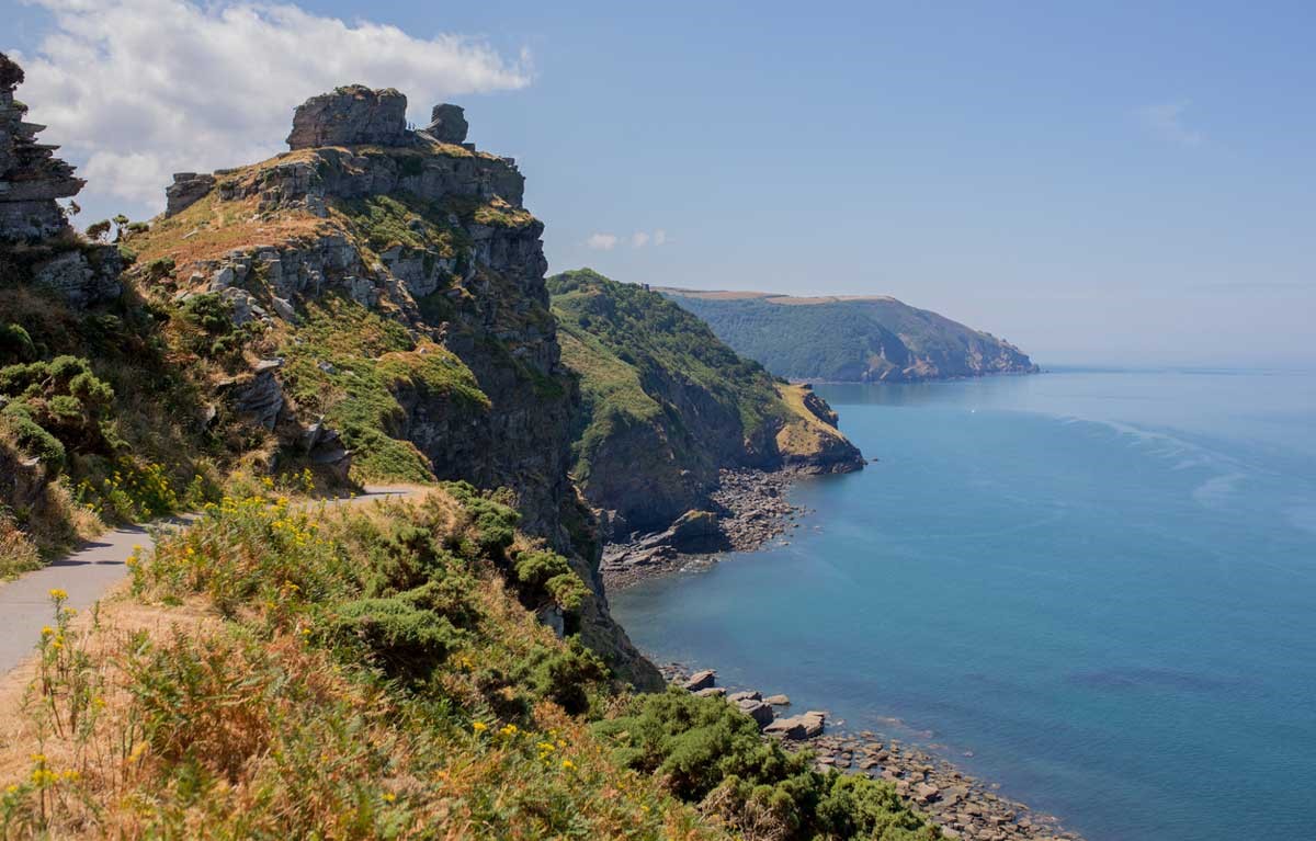
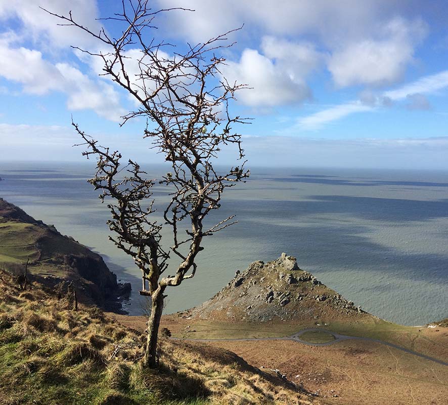
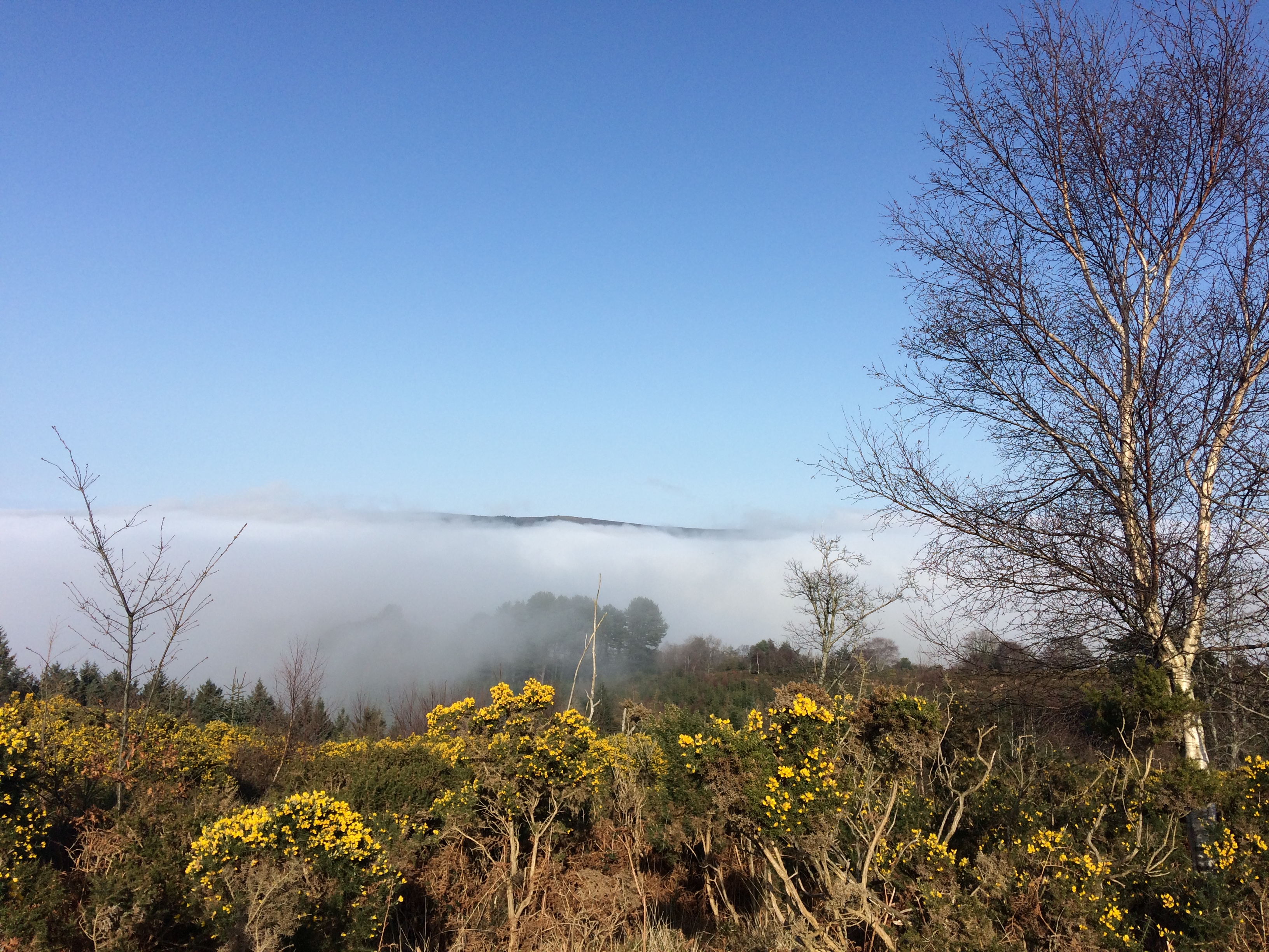
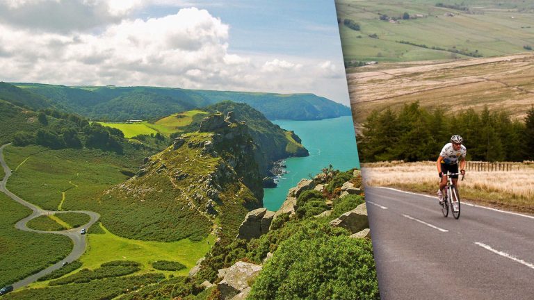
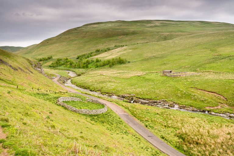
Valley of the Rocks and Wringcliffe Bay
Distance: 4.5 miles
Start/End: Valley of the Rocks car park
A beautiful walk taking in “Little Switzerland” as the poet Southey called the Valley of the Rocks.
We’ve started this hike off at the top station of the historic cliff railway which runs between the towns of Lynmouth and Lynton. Down at sea level, Lynmouth is lovely to explore and boasts brilliant fish and chips; Lynton is perched 500 feet above. The two are connected by the cliff railway, a miracle of Victorian engineering which will whisk you up the cliff using 100% water power. Once you’re up, follow our route through the quaint Victorian town of Lynton, well worth a visit with plenty of cafes, pubs and restaurants for refreshments.