The Best Road Cycling Routes in the Cheviots - Outdoors Magic

Outdoors Gear, Equipment, News, Reviews, Forums, Walking Routes and More at OutdoorsMagic.com

Share

Routes

The Best Road Cycling Routes in the Cheviots

Head out to this often overlooked set of hills and you'll find some tantalising routes. Here are 5 of the best

This is part of our series in collaboration with komoot, the route planning app for runners, bikers, and long-distance hikers. To find you the best road cycling routes in the Cheviots, we reached out to local experts on the area and had them plan their top five routes using komoot. Our road cycling expert in the Cheviots is Mark Nelson, a seasoned biker who spends his weekends exploring these hills and bombing around the most remote roads he can find. Take it away, Mark:

The Best Road Cycling Routes in the Cheviots

  1. Across the Ranges
  2. Tour of the Castles
  3. Lost Railways and Hills
  4. Through the Sea
  5. Around the Cheviots


Across the Ranges

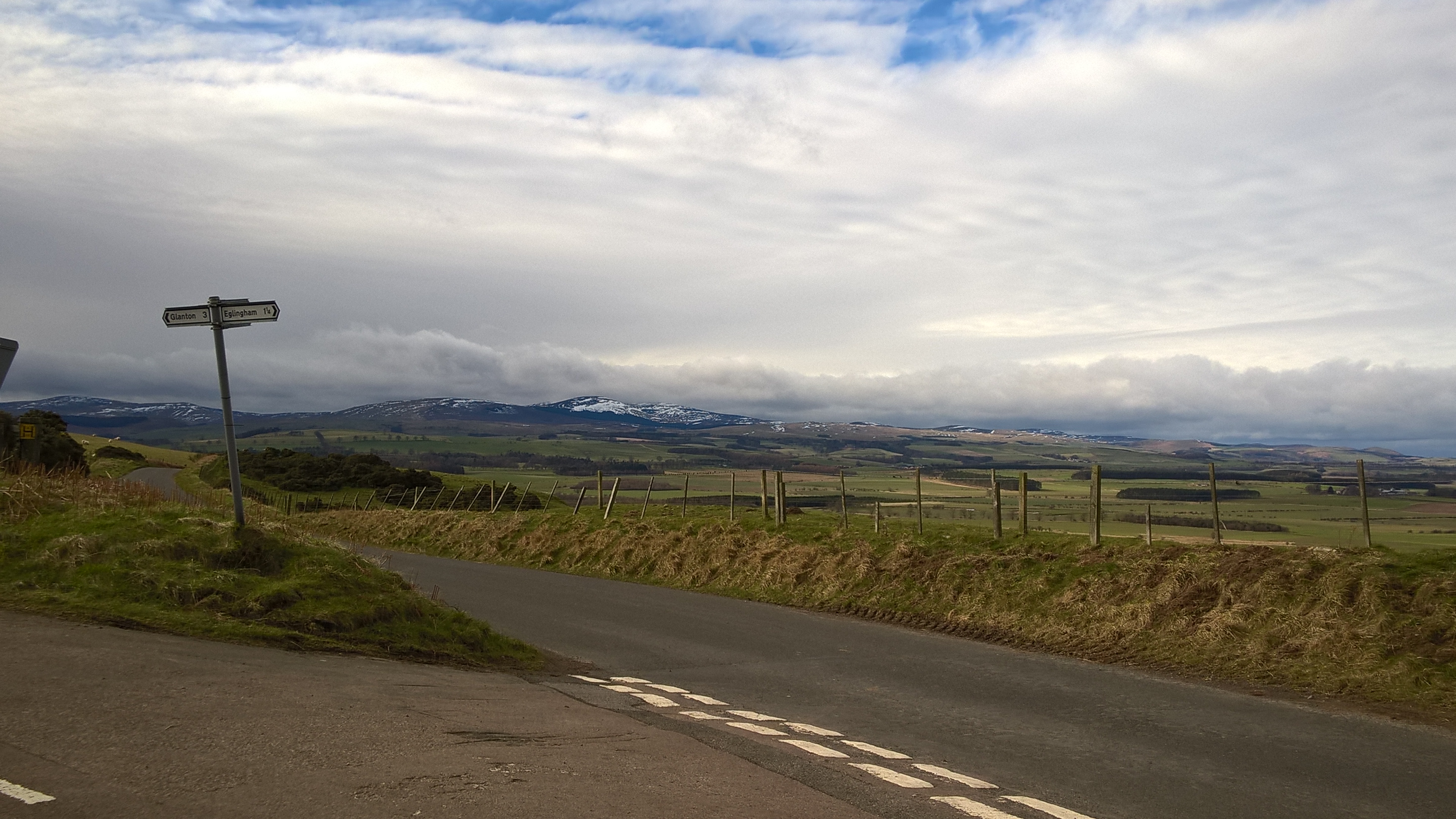
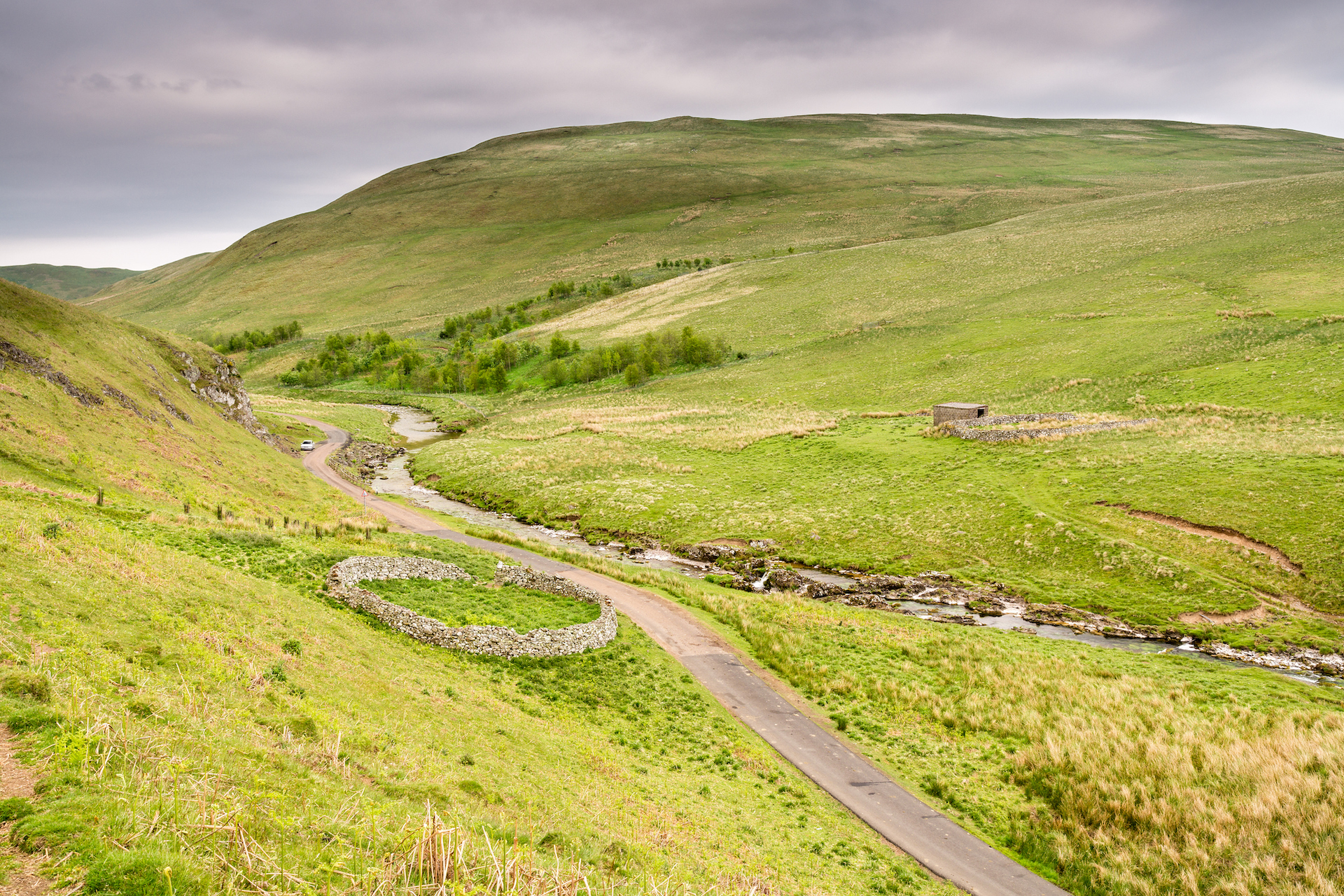
Rothbury, with a convenient car park and a Co-Op for stocking up on last minute supplies, is the perfect departure point for this route. Heading west on the quiet stretch out of the town is one of my favourite roads in Northumberland. As you hug the border of the National Park, the rolling terrain provides expansive views of the river Coquet meandering through the flood plain and lakes of Coquetdale below.


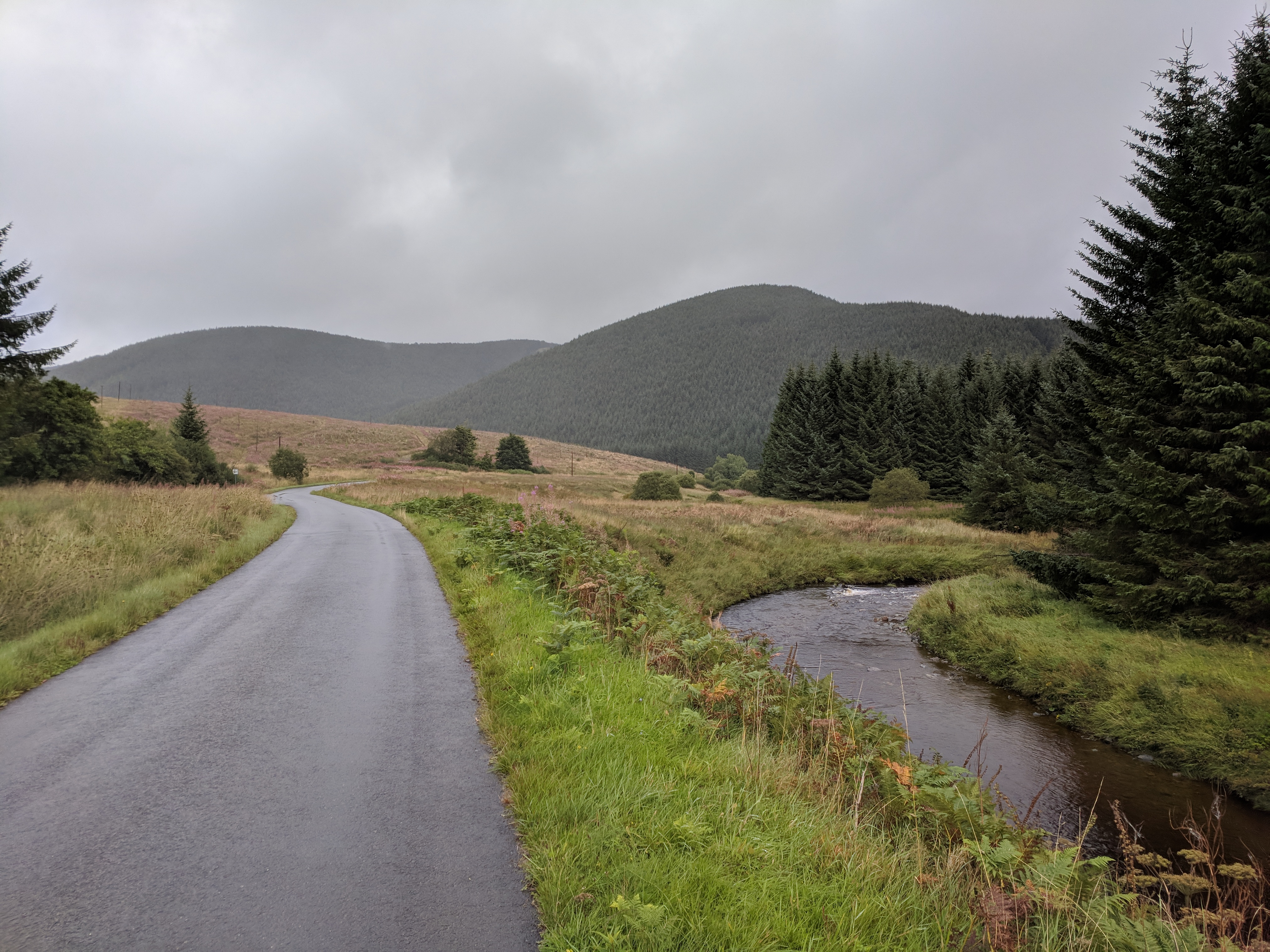
After the challenging climb of Billsmoor and a fast drop down in to Elsdon it’s time to turn off public roads and on to the military roads of Otterburn Ranges. Despite checking in advance that there is no firing (a crucial step before doing this route! You can check the firing times at gov.uk) I always nervously check the danger flags aren’t flying before relaxing and enjoying the smooth tarmac and car-free roads leading in to the heart of the Cheviots, and coming within metres of the Scottish border at Chew Green.

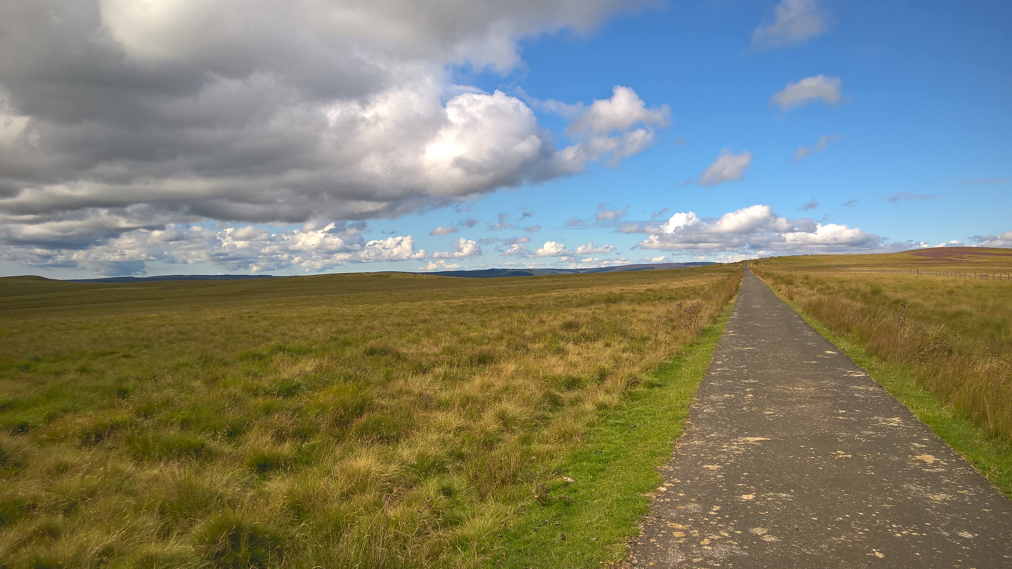
It’s not unusual to traverse the ranges and not see any other people and, if it’s a calm day, I sometimes pause to and drink in the remoteness, taking in the rare experience of hearing only natural sounds. After leaving Chew Green, there’s plenty of downhill which is punctuated by short steep climbs to make sure things aren’t too luxurious. After taking in the road threaded between the hills through Upper Coquetdale I like to reward myself with pizza at the Star Inn in Harbottle to top up my energy before the final stretch back to Rothbury.


Tour of the Castles

Wooler is a great place to start when you want to find some of the quietest roads in Northumberland. Although right on the edge of the Cheviots, the start of this ride is very flat. As you ride past the glider club you can see Yeavering Bell and the surrounding hills rising behind the airfield and can get a feel for how the wind will help or hinder the rest of the ride from a handy windsock next to the road.


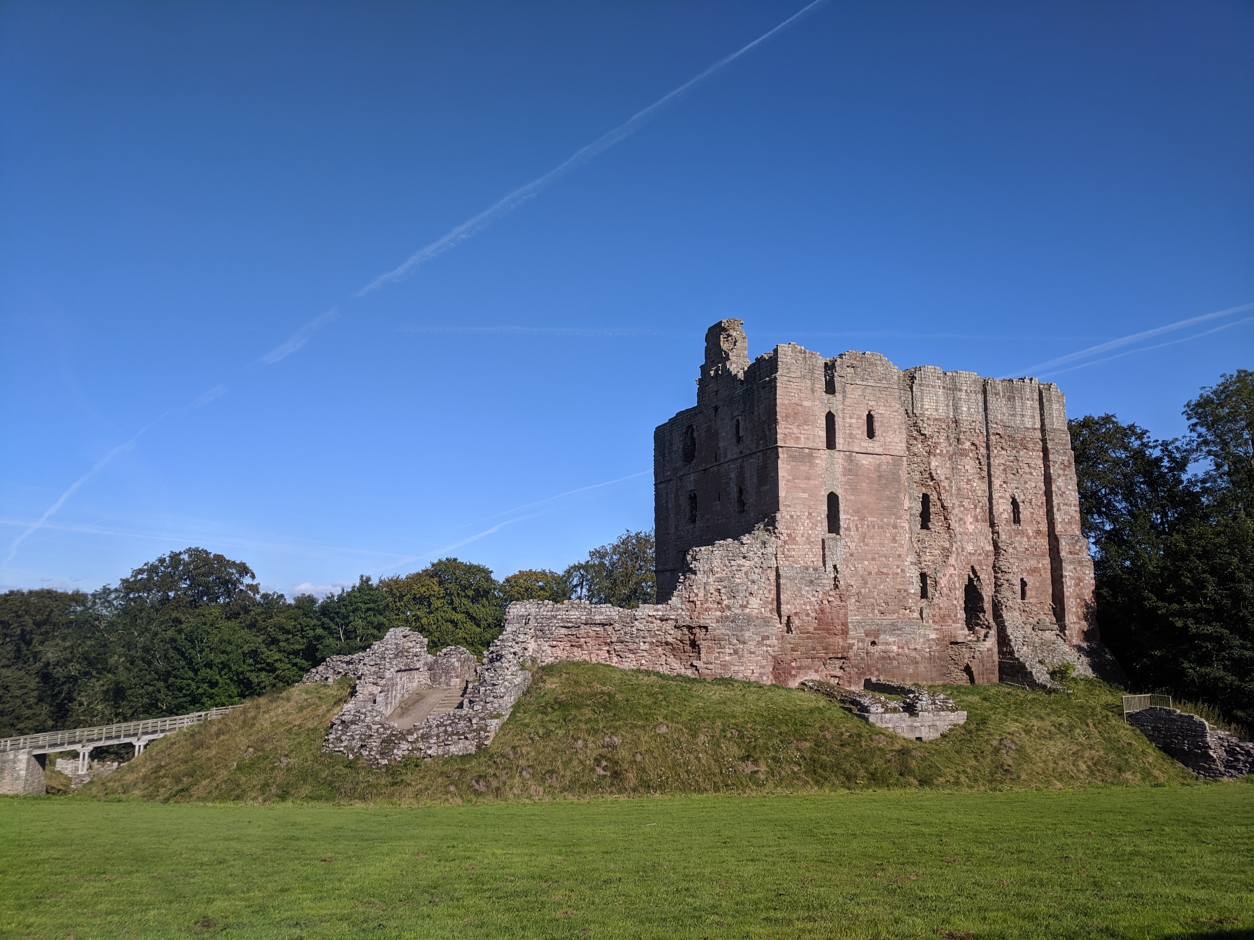
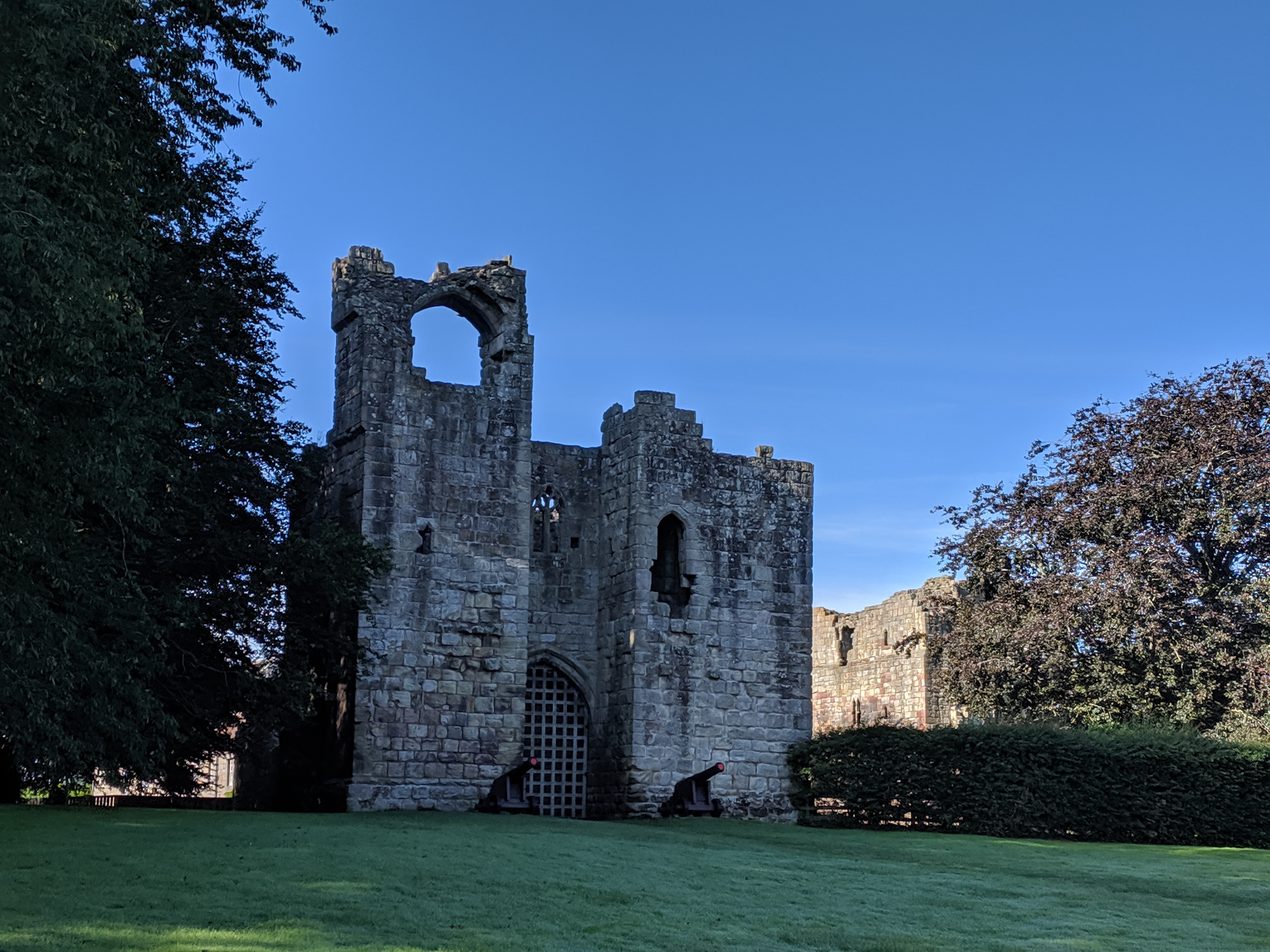
The route starts to rise slightly before providing a glimpse of the first castle of the day at Ford, then on past an ancient mill at Heatherslaw and in to Etal, where the ruins of another castle can be found just off the main road through the village.

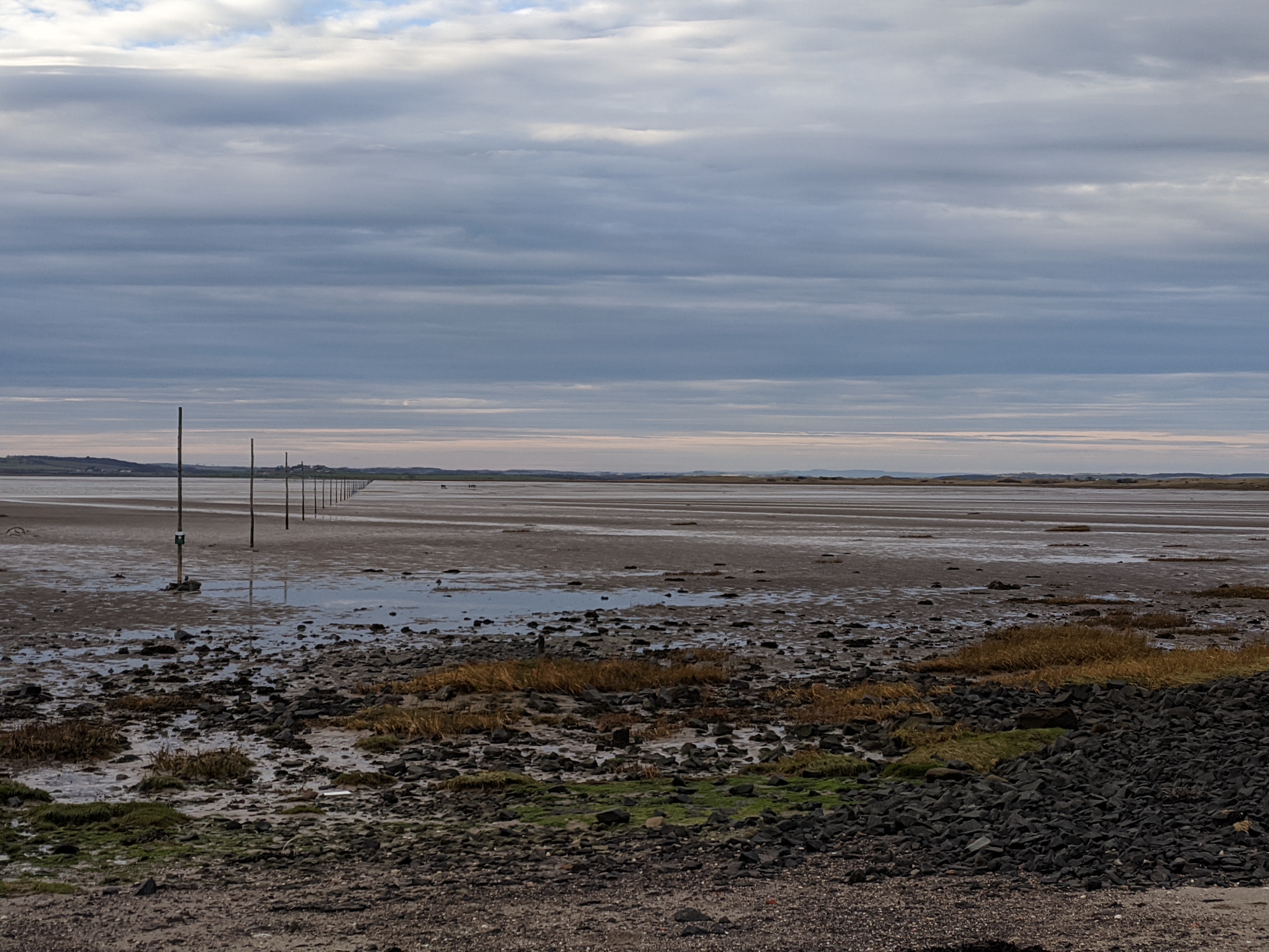
After this, the route continues north along very quiet lanes before dropping down in to the village of Norham, on banks of the Tweed, which marks the border with Scotland.


Norham Castle
Etal Castle

The road leaving Norham starts to rise and the third castle of the ride looms in to view. Once or twice I’ve stopped off to explore the ruins and give my legs a rest before the rest of the climb. Finally, it’s time to head back south through rolling terrain, following the route of the Devil’s Causeway, a Roman Road that linked Corbridge to Berwick, which provides more views of the hills rising behind Wooler.


Lost Railways

I always enjoy spotting signs of long defunct railways in unlikely places. The first part of this ride is never far from an old railway that used to serve as the starting point of Wooler.


After a brief ride along the usually very quiet main road out of Wooler, the route turns west at the hamlet of Akeld on to remote roads towards Yeavering. On the left, Akeld Hill and Yeavering Bell start rising immediately from the roadside. On the right it’s still possible to pick out the occasional feature that shows where the railway wound its way through Glendale. This route briefly crosses the border into Scotland and I can never resist taking a photo next to the ‘Welcome to Scotland’ sign, so it’s pleasing to find a large example present on such a minor road.

At Town Yetholm, head north on the other side of the river with more mountain view in all directions. I like to contemplate a bit of history as I ride past the site of the Battle of Flodden to take my mind off what’s coming next. It’s easy to appreciate why this particular spot was chosen by battle strategists as you head straight you Branxton hill and then Flodden Edge, where you are treated a steep climb leading to views stretching in to Scotland. From here, it’s downhill to Milfield and flat roads until a final fast ride in back in to Wooler from Doddington.


Through the Sea

Starting out from the car park near the Milk Bar in Wooler, this ride heads east.

It looks like there’s a steep rise right from the off; I always forget this route takes a very welcome left turn shortly after setting off, to stay level and take you round the rather imposing ridge to the east. You soon get to the first of two climbs, the first rising enough to warm you up and provide expansive views over the river Till but without being too tough.

Then it’s rolling roads until Lyham Hill which, with 10% gradients at its steepest, you’ll definitely feel. I usually pause at the top to take in the impressive views across a flat plain with the Cheviots rising majestically in the background. The terrain gets easier after this. North of Belford you get the first glimpse of the focus of the ride – the island of Lindisfarne – before following quiet lanes leading to the causeway.

I flew across the flat, sandy road to the island last time I was there, enjoying the strange sense of being on a road in the sea. However, after some cake on the island, the ride back to the main land was punishingly hard, heading into what had seemed like only a gentle breeze earlier, with no shelter to provide even the slightest respite. Back on the main land it’s then a relatively fast route back to Wooler without any more major lumps in the road.


Around the Cheviots (and a Scottish Forest)

If you like a multi-day ride (or a very long day out) then circumnavigating the Cheviot range provides a great challenge. The route passes through a number of small towns that could serve as alternative start point or places to stay.


Starting in Rothbury this route follows Coquetdale before heading over lumpy roads to Bellingham where I like to stop and buy provisions or refuel in a café. Next it’s time to follow the banks of the North Tyne to its source near at Deadwater, near Kielder. After crossing into Scotland, you soon get to Saughtree where you could split off, turn right and climb through Wauchope Forest to Bonchester Bridge, which is a lovely ride. However, this route does turns left instead, committing to an extra 100km through Scotland.

After a gentle descent in to Newcastleton, followed by a challenging climb over to Langholm, the route heads into one of my favourite roads to cycle. The road through Eskdalemuir Forest rises and falls, often following the course of streams and contours of hills as it winds its way north. At weekends at least I’ve never seen much traffic so you get extended periods when it’s just you and the sounds burbling streams, birds and (hopefully gentle) wind in the trees.

Once you get to Ettrick, the road turns east and hugs the bottom of hills on the way to Hawick (pronounced ‘Hoik’ if you need to ask the way), which would make a good overnight stopping point if splitting the ride in two. After that it’s through Jedburgh and on to lanes skirting the northern foothills of the Cheviots, with the occasional rise in the road providing views of the higher peaks along the border ridge to the south.

After rounding Yeavering Bell the route takes you through Wooler, avoiding the main road as much as possible while weaving through small villages. There’s one decent sized last hill at Cartington before dropping down in to Thropton, a few minutes’ ride from Rothbury.


Komoot: Your Route to Adventure

Komoot is an app that lets you find, plan, and share adventures with the easy route planner. Driven by a desire to explore, and powered by the outdoor community’s recommendations, it’s komoot’s mission to inspire great adventures making them accessible to all.

New to komoot? For a free regional bundle (worth £8.99) simply follow this link to komoot.com and create your free account today.

Outdoors Magic x komoot
Newsletter Terms & Conditions

Please enter your email so we can keep you updated with news, features and the latest offers. If you are not interested you can unsubscribe at any time. We will never sell your data and you'll only get messages from us and our partners whose products and services we think you'll enjoy.

Read our full Privacy Policy as well as Terms & Conditions.

production