On May 17 we are due an update from the UK government regarding international travel. Though we wait with caution and perhaps some apprehension; we can sense that old familiar holiday feeling returning once again. And boy does it feel good.
Amongst hazy details, and conflicting advice, there are also countries such as Spain, France, Greece, Portugal and Cyprus who are already preparing to open to tourists. Keeping a close eye on government websites, in particular the country lists, as well as the daily news, will be key in staying ahead of game. Without question, wherever you do choose for your hiking adventure, it’s essential that you follow the country-specific regulations to remain a safe and responsible hiker. These regulations can differ greatly from country to country, as well as region to region, so planning in advance is definitely worth your time.
Related: How To Pack A Rucksack For Hiking | Advice For Backpackers
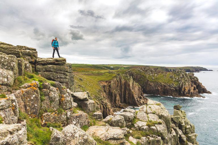
After the year we’ve all had, we know all too well how quickly circumstances can change… which is all the more reason to plan ahead. Often choosing your destination, your accommodation, and your itinerary can make up the majority of your organising. Certainly, with the multitude of incredible places to visit in Europe, the decision can seem stressful. So why wait? Have a peruse of our hiking destination list, plan ahead, and then when the time comes; all you have to do book.
Best Hiking Destinations In Europe
After much discussion amongst the Outdoors Magic team, we’ve agreed on our list of just some of the most incredible places and trails to hike in Europe…
- The Alps, Tour de Mont Blanc
- The Balkans, Via Dinarica
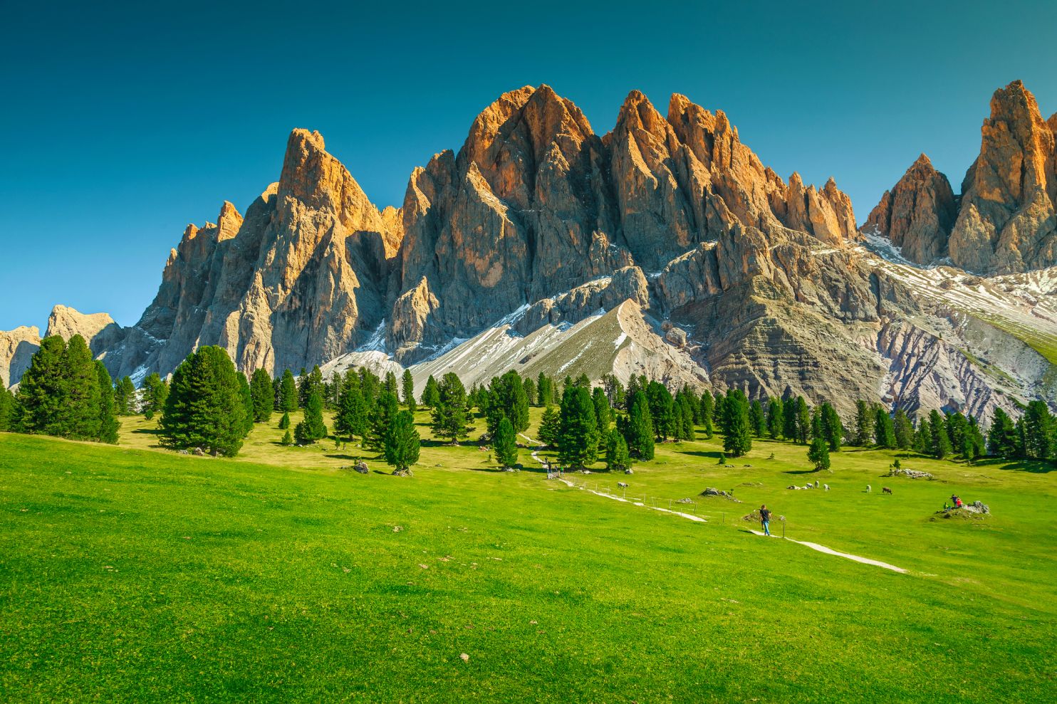
- Italy, The Dolomites
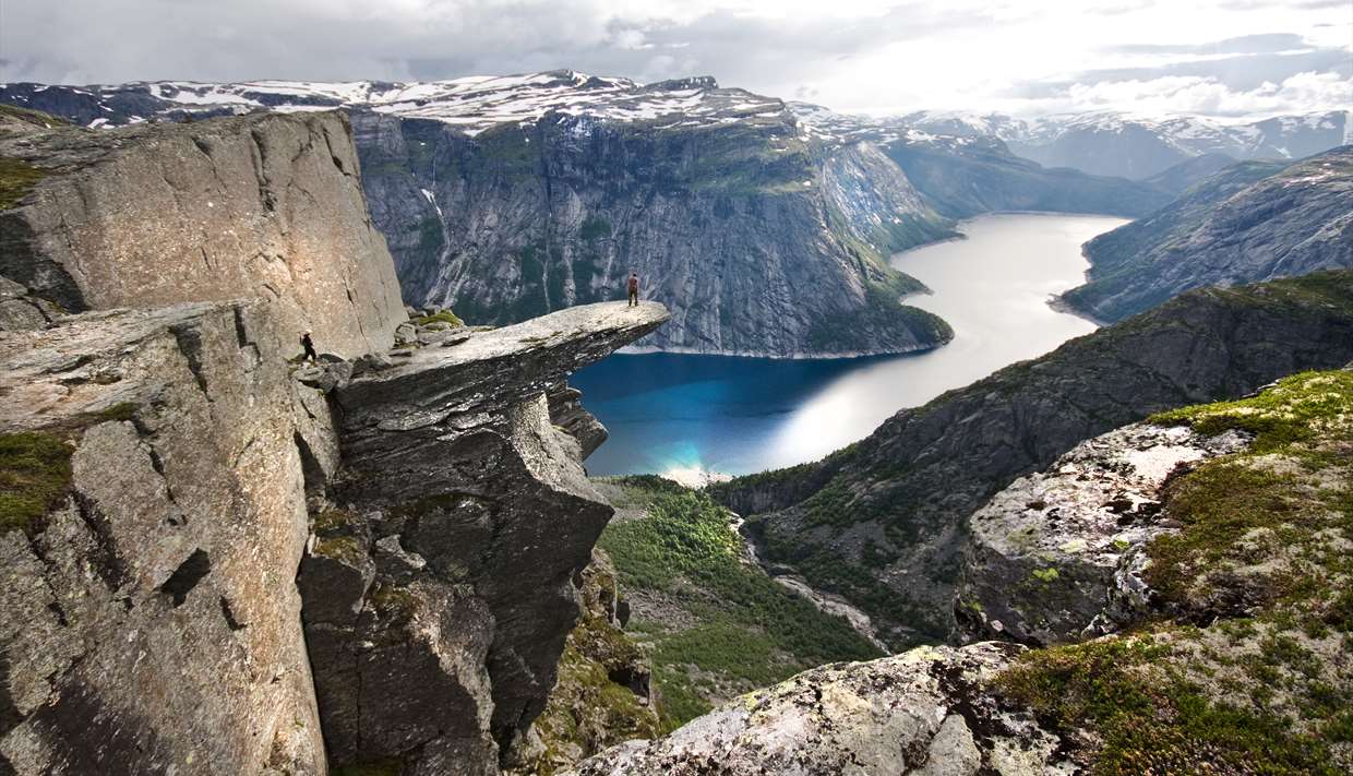
- Norway, Norwegian Fjords
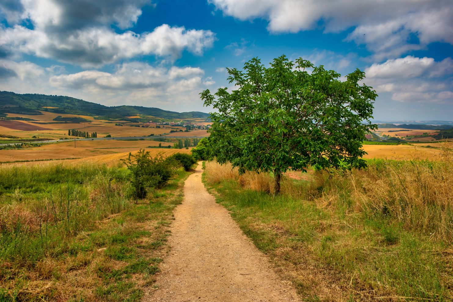
- Spain, Camino de Santiago
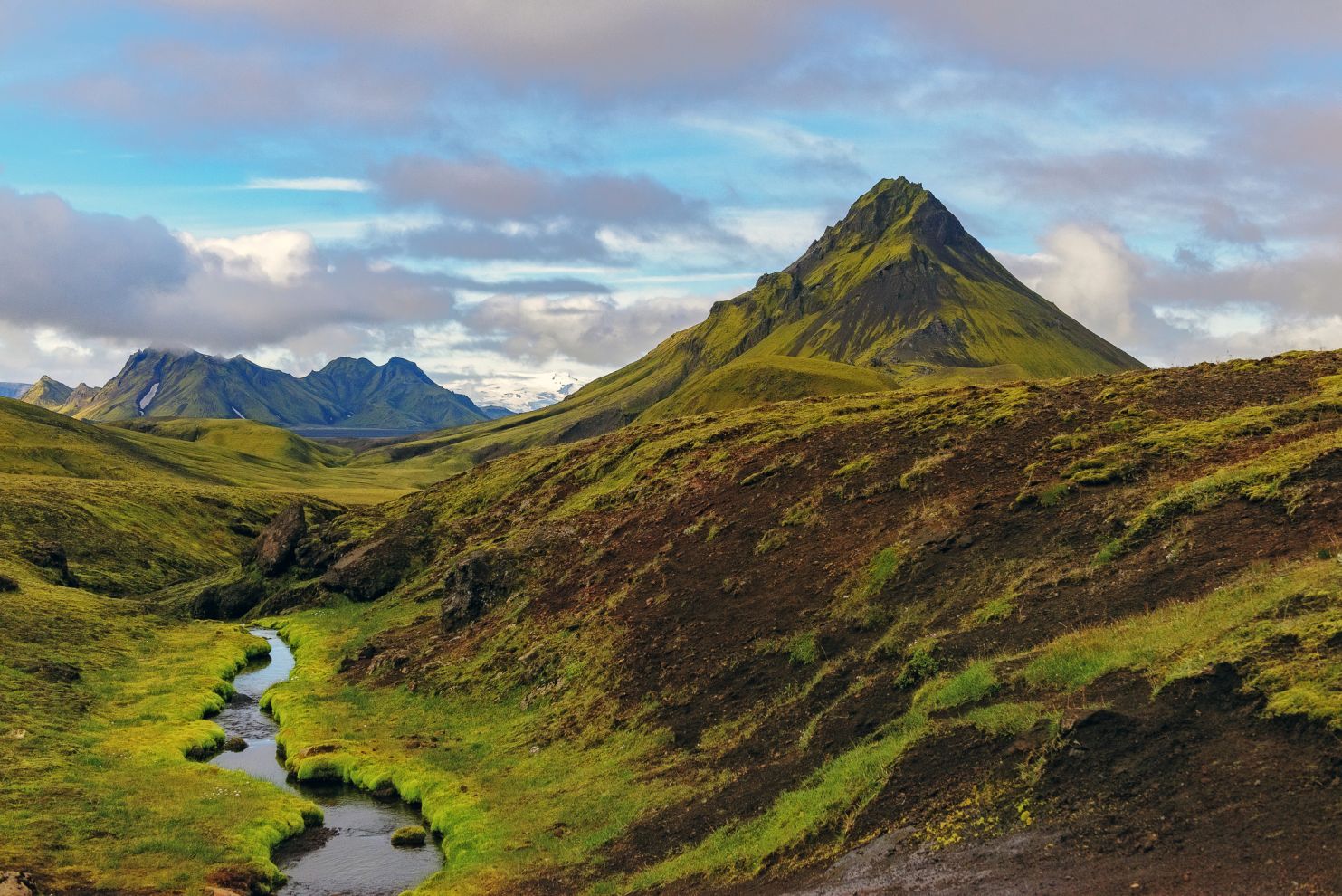
- Iceland, Laugavegur
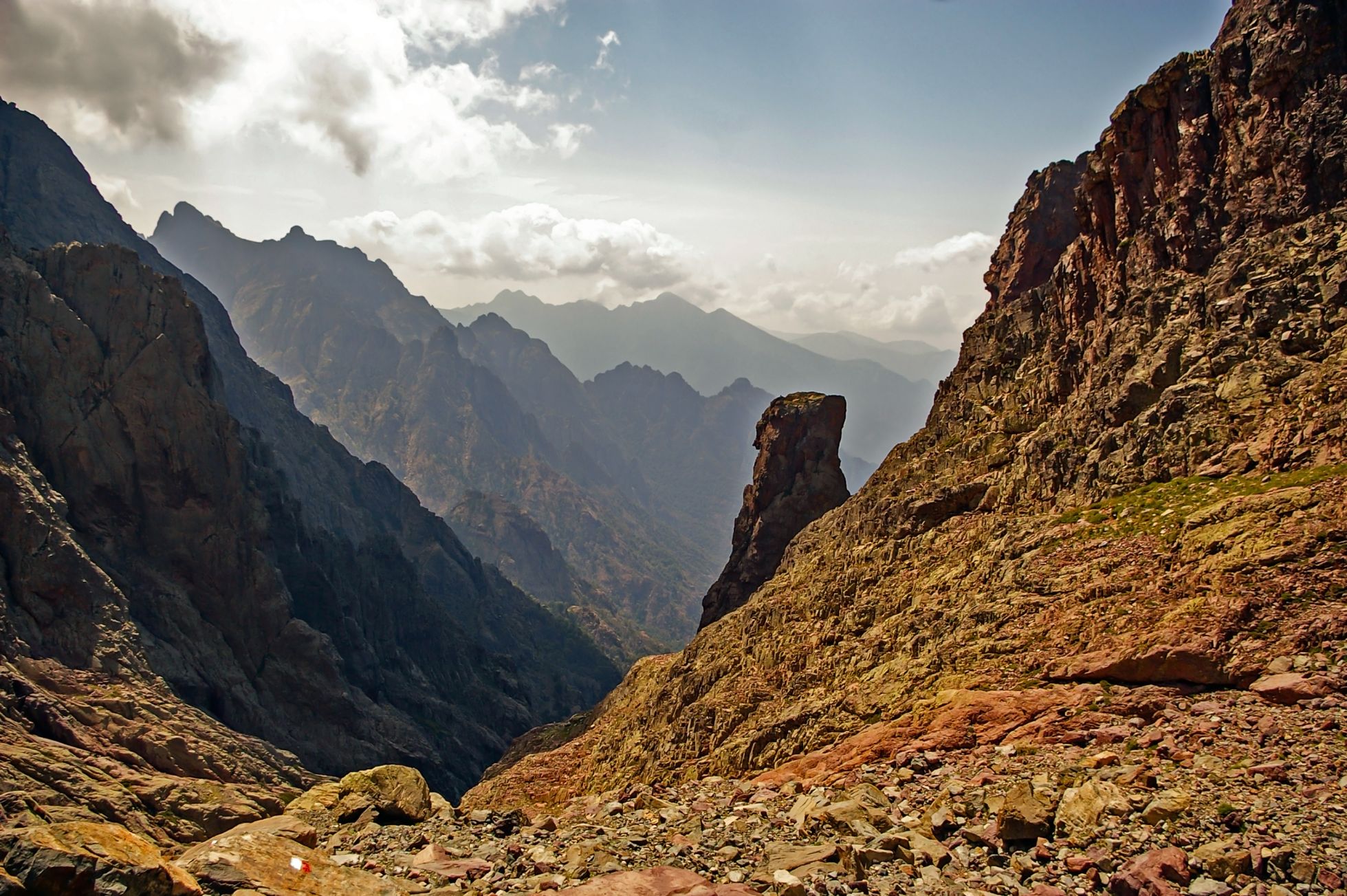
- Corsica, GR 20
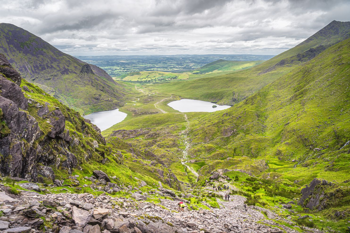
- Ireland, MacGillycuddy’s Reeks Range
- Sweden, King’s Trail (Kungsleden)
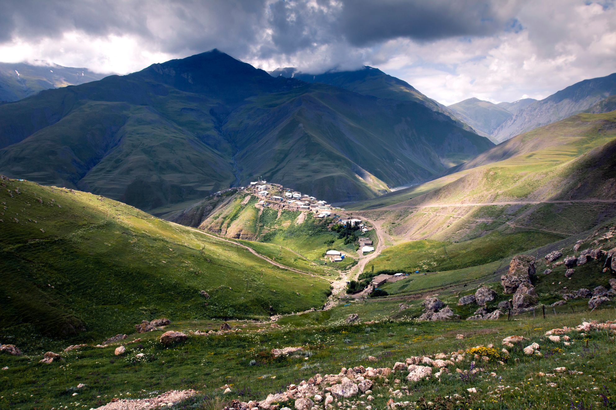
- Georgia, Caucasus Mountains
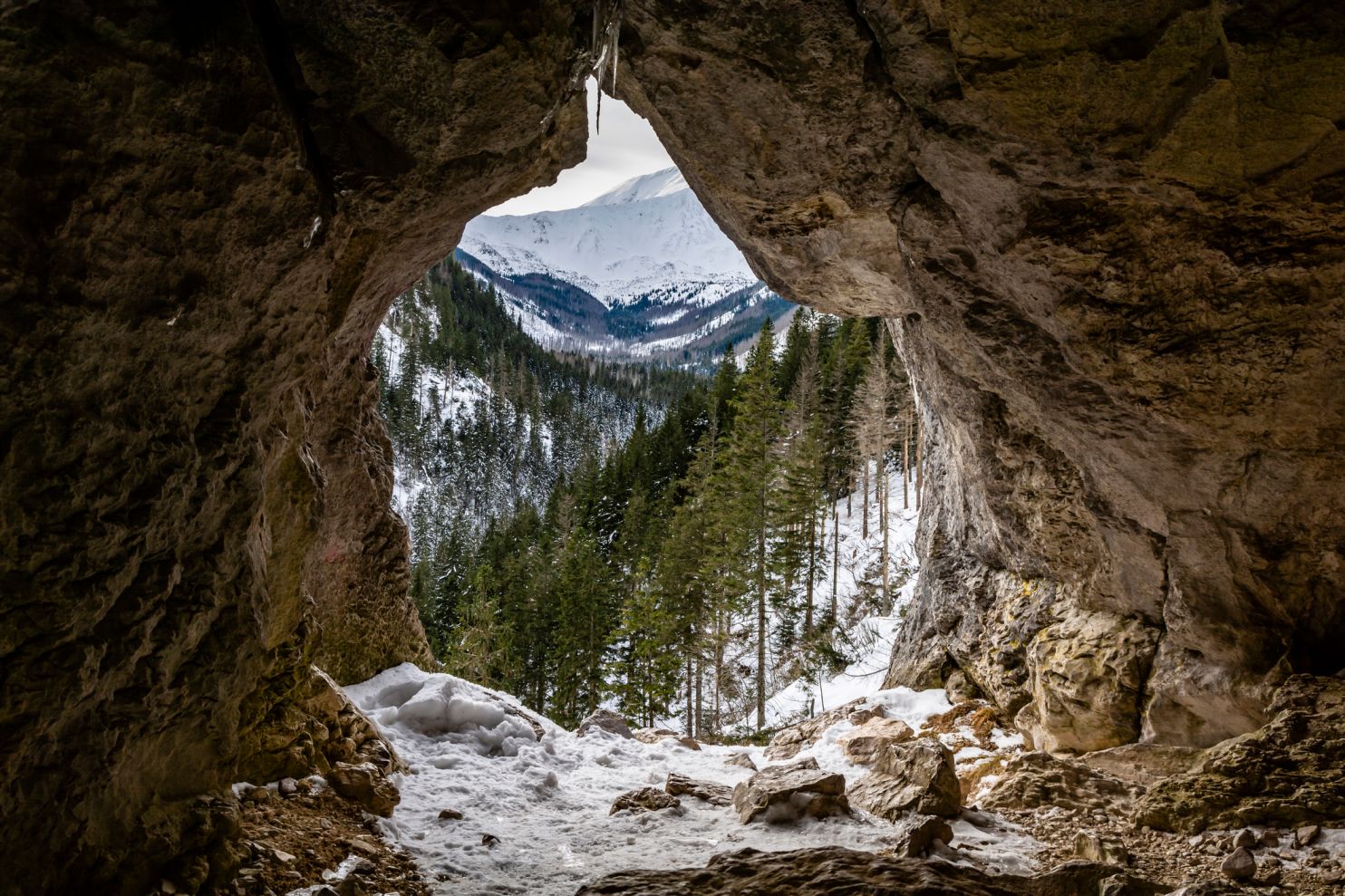
- Poland & Slovakia, Tatra Mountains
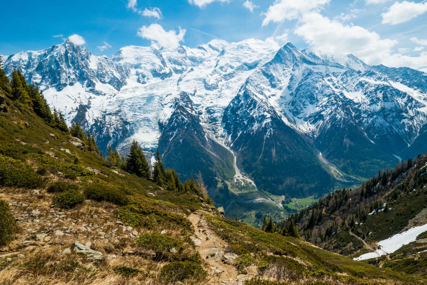
The Alps, Tour du Mont Blanc
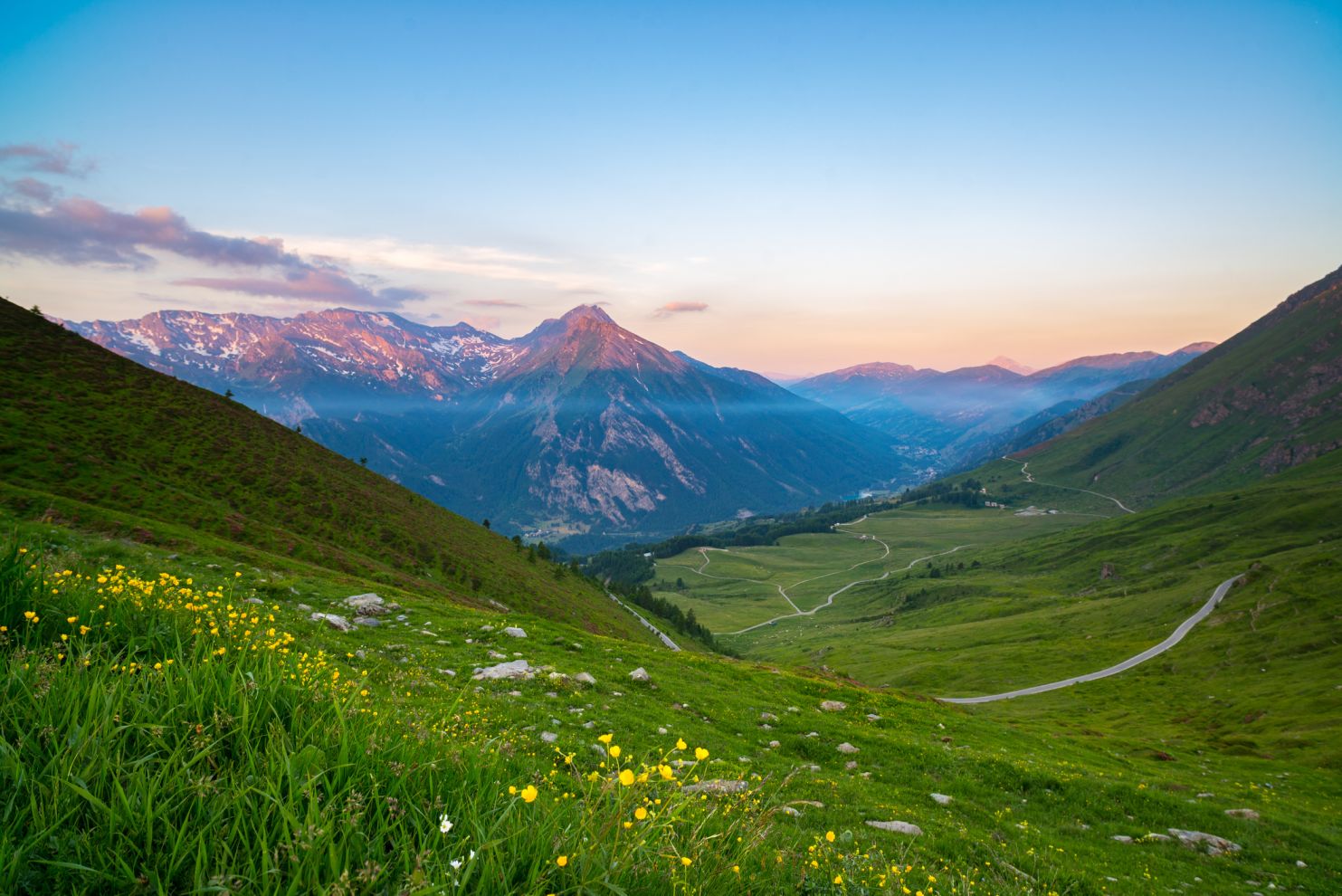
Location: France, Italy & Switzerland
Distance: 110 miles (170km) +
Duration: 7 to 11 days
The Tour du Mont Blanc is one of the most popular hiking routes in Europe. It’s also well known for hosting the Ultra-Trail du Mont Blanc, which follows the same route and was recently tackled by ultrarunner Pau Capell. Though the route does not cross the peak of Mont Blanc itself, it follows a loop around the mountain crossing through France, Italy and Switzerland.
Despite its fame, as hiking routes go, the terrain is actually amongst the less challenging on this list. You’ll spend most of your time trekking through forests and alpine villages, whilst also fording rivers which might be frozen depending on the time of year.
The loop typically begins and ends in Chamonix, France, though you can begin from anywhere. There are mountain refuges all along the route, however, if you choose to camp a lightweight 4-season tent is recommended. Should Mont Blanc itself call to your inner mountaineer, the route takes between 2 to 7 days, and crampons and ice axes will be necessary to get over the particularly icy sections.
Via Dinarica
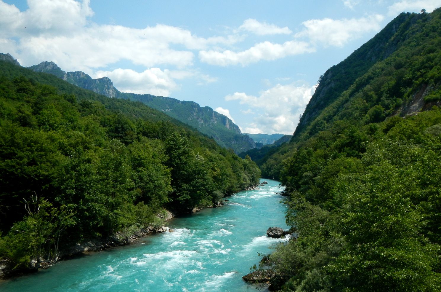
Location: The Balkans
Distance: 808 miles (1300km) +
Duration: 3 months (end to end)
The Western Balkans are much less of a tourist hot spot than the Alps and the most famous trail within the area, the Via Dinarica sees a tiny proportion of footfall compared to the Tour du Mont Blanc. It’s certainly grown in popularity in recent years however, all due to the diminished levels of conflict across the regions.
The route itself is a network of old shepherd paths, bygone war routes, established trails, and freshly-trodden paths. You’ll traverse the Dinaric Alps and the Sharr Mountain range in more than 120 stages, crossing Slovenia, Croatia, Bosnia, Herzegovina, Montenegro, and Albania. Common scenery includes fields of limestone karst, snow-capped mountains, dense forests, and Europe’s deepest canyon: the Tara River Canyon. Plunging 4300ft; it’s quite a sight to behold.
The routes also rewards walkers with unique Balkan views such as medieval gravestones, stone fortresses, and the foundations of past kingdoms such as the Romans and the Ottomans. More modern structures along the route include monasteries, mosques and churches, as well as Ratko’s shelter (Ratkovo skloniste).