Best Hiking Destinations In Europe | Preparing For Post-Covid 19 Long-Distance Trekking Adventures - Outdoors Magic

Outdoors Gear, Equipment, News, Reviews, Forums, Walking Routes and More at OutdoorsMagic.com

Share

How To Guides

Best Hiking Destinations In Europe | Preparing For Post-Covid 19 Long-Distance Trekking Adventures

Get ahead of your post-lockdown holiday planning with this expansive list of long-distance hiking locations in Europe. With so many beautiful destinations to choose from; we've narrowed it down to just some of the best multi-day hikes this continent has to offer.

On May 17 we are due an update from the UK government regarding international travel. Though we wait with caution and perhaps some apprehension; we can sense that old familiar holiday feeling returning once again. And boy does it feel good. 

Amongst hazy details, and conflicting advice, there are also countries such as Spain, France, Greece, Portugal and Cyprus who are already preparing to open to tourists. Keeping a close eye on government websites, in particular the country lists, as well as the daily news, will be key in staying ahead of game. Without question, wherever you do choose for your hiking adventure, it’s essential that you follow the country-specific regulations to remain a safe and responsible hiker. These regulations can differ greatly from country to country, as well as region to region, so planning in advance is definitely worth your time.   

Related: How To Pack A Rucksack For Hiking | Advice For Backpackers

After the year we’ve all had, we know all too well how quickly circumstances can changewhich is all the more reason to plan ahead. Often choosing your destination, your accommodation, and your itinerary can make up the majority of your organising. Certainly, with the multitude of incredible places to visit in Europe, the decision can seem stressful. So why wait? Have a peruse of our hiking destination list, plan ahead, and then when the time comes; all you have to do book.  

Best Hiking Destinations In Europe 

After much discussion amongst the Outdoors Magic team, we’ve agreed on our list of just some of the most incredible places and trails to hike in Europe…

  • The Alps, Tour de Mont Blanc 
  • The Balkans, Via Dinarica 
  • Italy, The Dolomites 
  • Norway, Norwegian Fjords 
  • Spain, Camino de Santiago 
  • Iceland, Laugavegur  
  • Corsica, GR 20 
  • Ireland, MacGillycuddy’s Reeks Range  
  • Sweden, King’s Trail (Kungsleden) 
  • Georgia, Caucasus Mountains 
  • Poland & Slovakia, Tatra Mountains 


The Alps, Tour du Mont Blanc
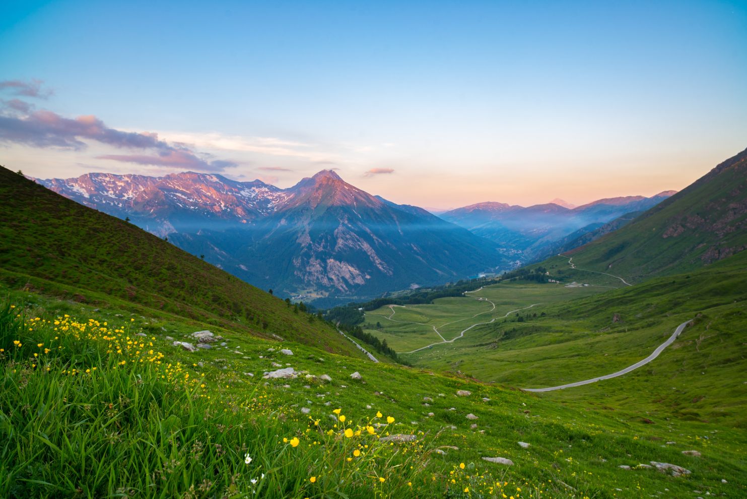
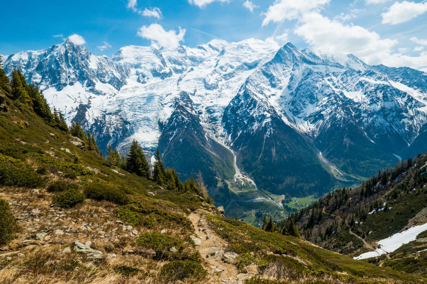
The Alps from Italy. Photo: iStock/ fbxx

Location: France, Italy & Switzerland
Distance: 110 miles (170km) +
Duration: 7 to 11 days

The Tour du Mont Blanc is one of the most popular hiking routes in Europe. It’s also well known for hosting the Ultra-Trail du Mont Blanc, which follows the same route and was recently tackled by ultrarunner Pau Capell. Though the route does not cross the peak of Mont Blanc itself, it follows a loop around the mountain crossing through France, Italy and Switzerland.

Despite its fame, as hiking routes go, the terrain is actually amongst the less challenging on this list. You’ll spend most of your time trekking through forests and alpine villages, whilst also fording rivers which might be frozen depending on the time of year.

The loop typically begins and ends in Chamonix, France, though you can begin from anywhere. There are mountain refuges all along the route, however, if you choose to camp a lightweight 4-season tent is recommended. Should Mont Blanc itself call to your inner mountaineer, the route takes between 2 to 7 days, and crampons and ice axes will be necessary to get over the particularly icy sections.


Via Dinarica 
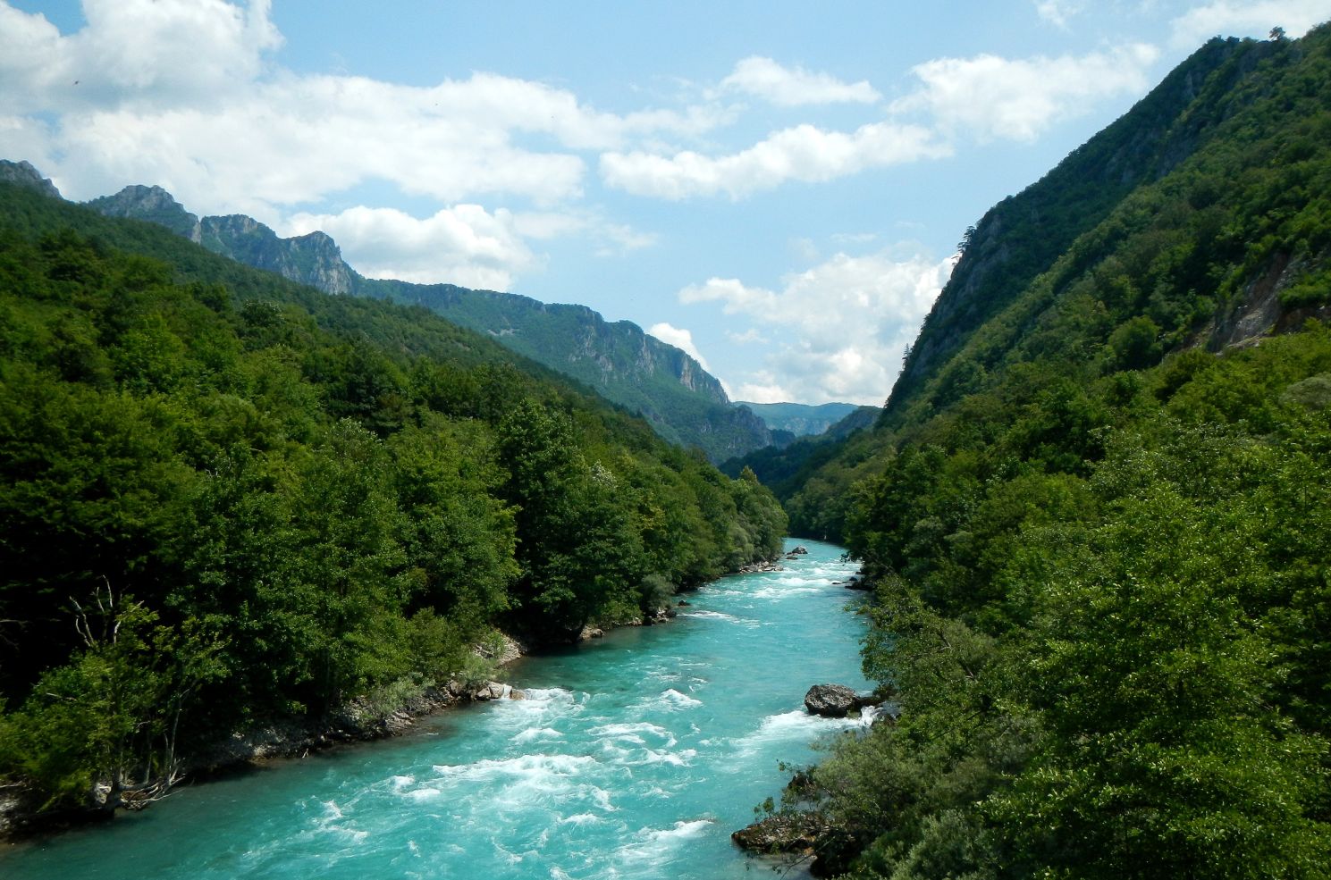
Tara River Canyon. Photo: iStock/ Han Harms

Location: The Balkans 
Distance: 808 miles (1300km) + 
Duration3 months (end to end) 

The Western Balkans are much less of a tourist hot spot than the Alps and the most famous trail within the area, the Via Dinarica sees a tiny proportion of footfall compared to the Tour du Mont Blanc. It’s certainly grown in popularity in recent years however, all due to the diminished levels of conflict across the regions.

The route itself is a network of old shepherd paths, bygone war routes,  established trails, and freshly-trodden paths. You’ll traverse the Dinaric Alps and the Sharr Mountain range in more than 120 stages, crossing Slovenia, Croatia, Bosnia, Herzegovina, Montenegro, and Albania.  Common scenery includes fields of limestone karst, snow-capped mountains, dense forests, and Europe’s deepest canyon: the Tara River Canyon. Plunging 4300ft; it’s quite a sight to behold.

The routes also rewards walkers with unique Balkan views such as medieval gravestones, stone fortresses, and the foundations of past kingdoms such as the Romans and the Ottomans. More modern structures along the route include monasteries, mosques and churches, as well as Ratko’s shelter (Ratkovo skloniste).

The Dolomites

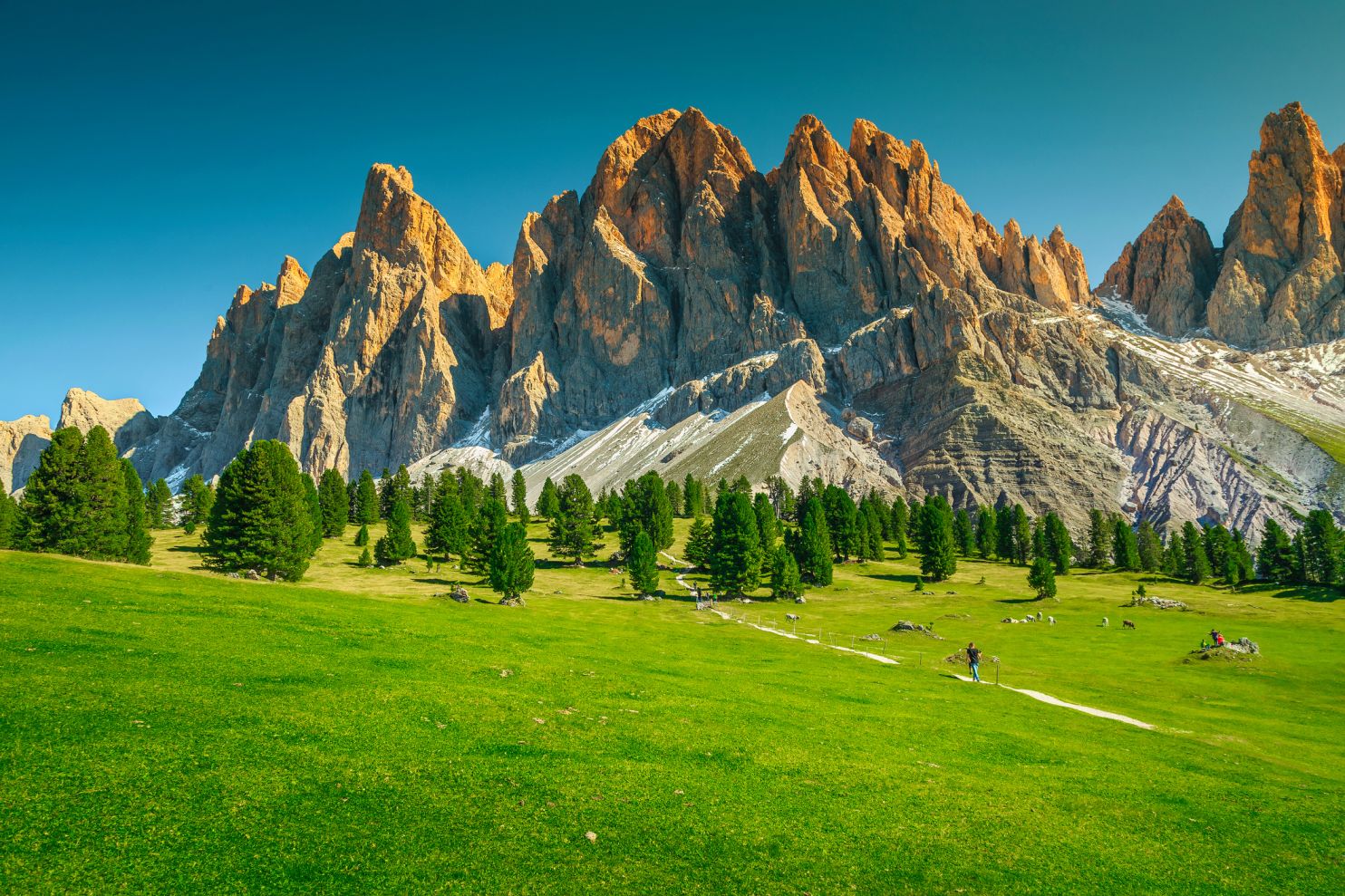
Photo: iStock/ Janoka82

Location: Italy
Distance: 62 miles (100km) +
Duration: 10+ days

The Dolomites are located in north-eastern Italy and are a UNESCO world heritage site. Here you’l find distinctive limestone peaks, valley meadowlands and slopes filled with wildflowers in the summer. On many of the routes, you’ll often encounter abandoned bunkers, trenches and sniper stations from World War One. The most famous relics from that war, however, are the ‘iron ways’, metal ladders and cables which the soldiers used to traverse precarious points in the high mountains. Today, many of the Dolomites’ famous via ferrata climbing routes follow the exact same lines that the soldiers once took.

Popular hiking routes include: Alta Via 1, Alta Via 2 (more challenging than AV1), the 3 peaks hiking trail, the Rosengarten Catinaccio Traverse, and the Tre Cime di Lavaredo Hut to Hut Hike. Camping is forbidden in this region due to conservation rules, however, there are a multitude of mountain huts (‘rifugios’) along the way. Most people go between June and September when the region is free of snow.

Norwegian Fjords

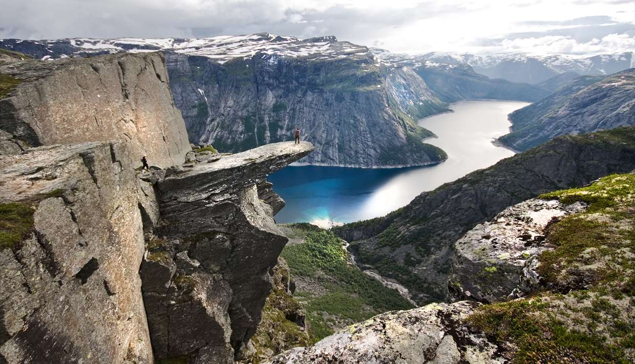
Trolltunga cliff. Photo: fjordnorway.com

Location: Norway’s west coast
Distance: 57,604 sq km
Duration: 1 day to multi-day hikes

As one of the most unique and varying coastlines in the world, it’s pretty hard to pin a distance on the Norwegian Fjords, though the coastline itself is thought to be roughly 18,000 miles (29,000km) with nearly 1200 fjords.

Amongst the infamous fjords themselves, you’ll also find mountains that rise between them, glistening waterfalls that fall down them, wild riverside forests, and dramatic cliff edges everywhere you look. The most famous cliff is Trolltunga which juts out somewhat precariously above Ringedalsvatnet lake.

Fjord can be translated to ‘where one fares through’, and humans certainly aren’t the only ones faring these lands. Seals, porpoises and the mighty King Crab reside in the waters below, whilst sea eagles, pelicans, and puffins can be found in the skies above. On land, you might find reindeer, a key source of trade for the indigenous Sámi people.

In terms of hiking, you’ll find something for all ability levels here, and can trek for anywhere between a couple of hours, to a couple of months. One of the most appealing things about Norway is the right to roam, otherwise known as ‘allemannstretten’. This means that no permits are required for hiking, and you can camp pretty much anywhere in open country for free. We’ve got an article on the principles of leave no trace if you need to brush up on your wild camping skills pre-trip.

Camino de Santiago

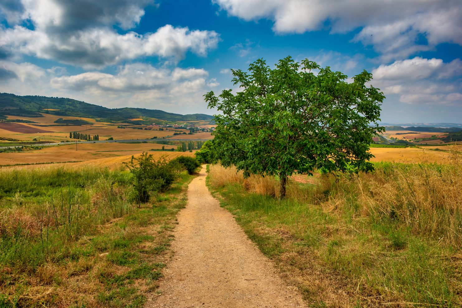
The Camino from Navarra. Photo: iStock/ Vinenfoto

Location: Spain
Distance: 472 miles (760km)
Duration: 30 to 35 days

The Camino de Santiago began as an ancient Roman trade route and later became a Christian pilgrimage route covering the whole of northern Spain.

Under normal circumstances, it’s extremely popular and has a real sense of camaraderie and support along the way. ‘Extreme rambler’ Ursula Martin had an altogether different experience on it however, walking it last year when Europe’s travel restrictions were all in place. Check out our interview for some incredible stories from her trek through pandemic-hit Europe.

Most people begin at the border in France, though you can start anywhere due to its clear sign-posting. The end, however, is always the Santiago de Compostela, a cathedral in northern Spain believed to hold the remains of St. James, the patron saint of Spain. On the way, you’ll cross through the Pyrenees and into the Galician countryside for some spectacular views all around.

Laugavegur Trail (Laugavegurrin)

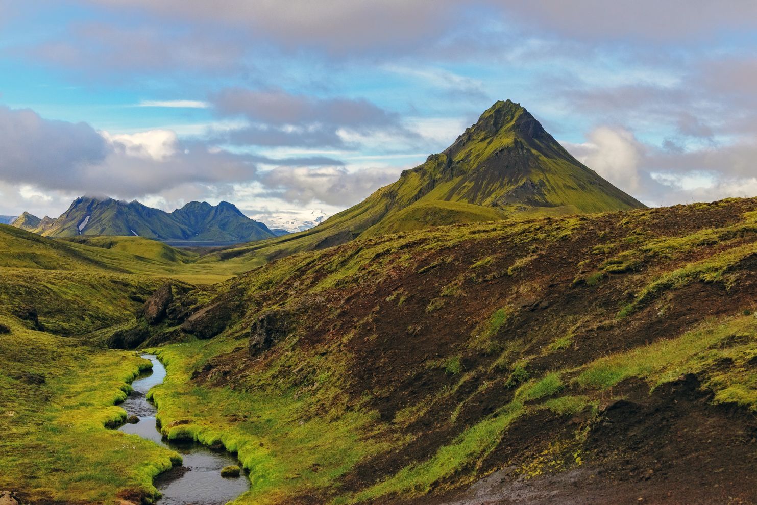
Alftavatn in the Fjallabak Nature Reserve. Photo: iStock/ Kirill Greshnov

Location: Iceland
Distance: 34 miles (55km)
Duration: 2-5 days

The Laugavegur Trail covers 34 miles of South Iceland and is thought to be one of the best trails in the world. It boasts many of the classic landscapes associated with Iceland, including volcanoes, glaciers, ice caves, multi-coloured mountainsides, and ever-expanding barren valleys.

‘Laugavagur’ means ‘the way of the water’ and refers to the hot springs that steam and bubble to the surface from the earth. The Landmannalaugar section of the route is the most famous for its natural springs and has designated geothermal pools for bathing.

As a protected nature reserve, and a geothermal haven, wild camping is forbidden though there are designated campsites around huts along the route. Most people hike between July and September to avoid the often-lethal wintry conditions. Travelling the route from north to south is also advised to take advantage of altitude loss.


GR20

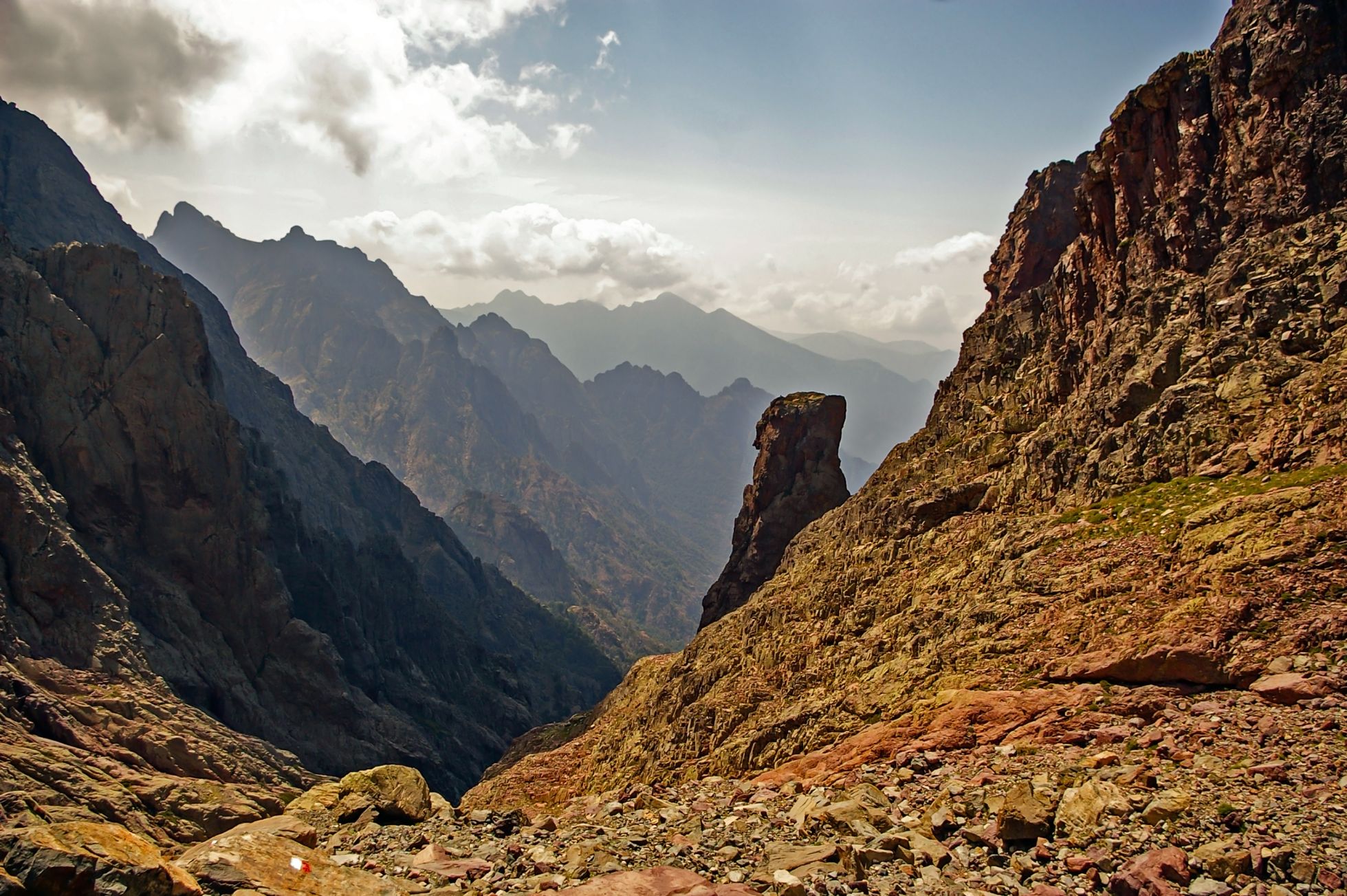
Natural Park of Corsica. Photo: iStock/ SurkovDimitri

Location: Corsica
Distance: 110 miles (177km)
Duration: 2 weeks

The GR20 is a notoriously difficult hike and is widely considered to be the toughest trek in Europe. This is largely due to some incredibly steep ascents and descents where chains have been bolted to the rocks to help people traverse across.

Unsurprisingly, however, it’s also one of the most rewarding. Spanning across almost the entire length of Corsica (with an elevation of 12,000m), you’ll have views of glacial lakes and Mediterranean coastlines accompanying you the whole way.

There are 15 main trails all beginning and ending with a hut, though you can camp alongside the huts if you prefer. Most people hike the GR20 north to south from Calenzana to Concha, with the toughest sections situated in the north.


Caucasus Mountains

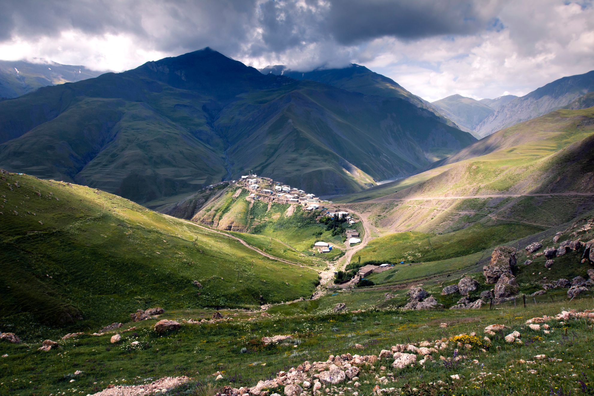
Xinaliq, a village in Azerbaijan. Photo: iStock/ habrda

Location: Georgia with parts of Russia, Azerbaijan & Armenia
Distance: 932 miles (1500km)
Duration: 10+ days

The Caucasus Mountains, home to the tallest peak in Europe, Mount Elbrus (5643ft), have only started to become easily accessible for tourists in the last few years and therefore the area retains a remote, wild and unexplored feel.

The Transcaucasian trail is the most famous of its trails, though it is actually still under development, with the intention of linking up routes that connect the Black and Caspian seas. In theory, it will cover 3000km and should take 3 months to cross, though many of the trails have not yet been mapped out. Check out transcaucasiantrail.org to keep updated on their progress.

Whilst the mountains cross roughly 85% of Georgia, they also pass through parts of Russia, Azerbaijan and Armenia. Particular highlights include the Borjomi-Kharagauli National Park, the Adishi glacier, Chaukhi Pass, Black Rock Lake, and the Keli Highland, to name but a few.

MacGillycuddy’s Reeks Range

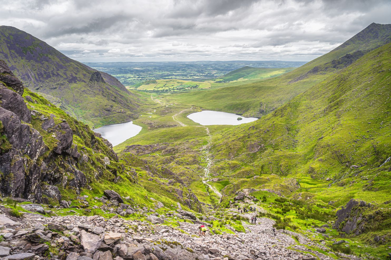
The Devil’s Ladder up to Carrauntoohil. Photo: iStock/ Dawid Kalisinki

Location: Country Kerry, Ireland
Distance: 12 miles (19km)
Duration: 1 day to multi-day hikes

Closer to home, we have the MacGillycuddy’s Reeks Range in Ireland. This region of County Kerry is one of the most popular hiking destinations in the country and includes Carrauntoohil, Ireland’s tallest peak. From the summit of 1038 metres, you’ll witness the famous green valleys of the Reeks District, each with its own lake. Most hikers start from Cronin’s Yard and trek up the Devil’s Ladder to Carrauntoohil. There’s a fair amount of scrambling involved, and a steep descent at O’Shea’s Gully on the way down.

Other famous peaks from MacGillycuddy’s Reeks Range include Cnoc na Péiste, Beenkeragh, and Caher. Though Kerry is covered in trails and hikes, the Coomloughra Horseshoe (9.5 miles) and the MacGillycuddy’s Reeks Ridge walk (16 miles) are the two most popular in this area. Loose scree and sharp ridges are very common so it might be wise to invest in a good pair of walking poles. Furthermore, since the Reeks are situated towards the notoriously turbulent south west of Ireland, remembering your waterproof gear is an absolute necessity.

Related: Best Waterproof Jackets

King’s Trail (Kungsleden)

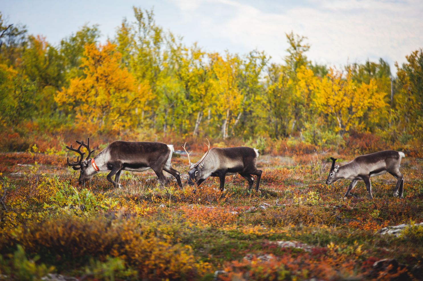
Reindeers pasturing in Abisko National Park, Lapland. Photo: iStock/ Nikolay Tsuguliev

Location: Sweden
Distance: 270 miles (435km)
Duration: 8 days

The King’s Trail spans across the north of Sweden, including Lapland and the Arctic Circle. You’ll trek though forests of Birch, glistening rivers, glaciated valleys, and great expanses of tundra. In particularly boggy sections, and across non-fordable streams, you’ll also find little wooden bridges to help you on your way.

The five official trail sections are all low-altitude treks though you’ll be surrounded by panoramas of snow-capped mountain peaks for most of the route. Highlights include seeing Lapland’s famous reindeer, the Mount Kebnekaise section, and the Tjaktja Pass.

Related: The Fjällräven Classic | Conquering the King’s Trail in Sweden

In the winter, the weather can become pretty treacherous, so Kungsleden usually turns into a popular skiing trail. Nevertheless, the route is still open to hikers if extreme trekking is your thing.

Tatra Mountains

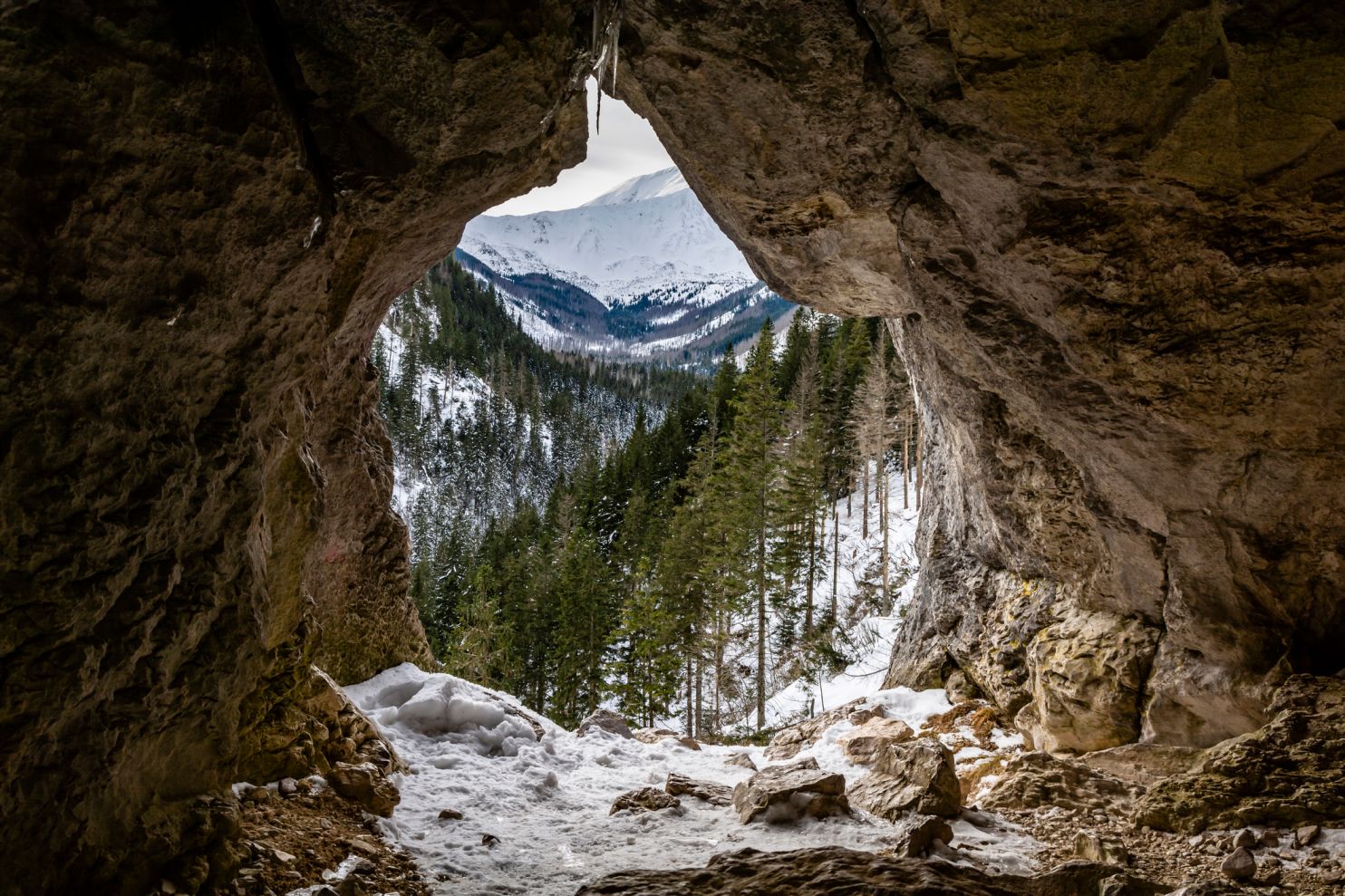
Pawlikowski’s Window in the Mylna Cave, Koscieliska Valley, Western Tatras. Photo: iStock/ gubernat

Location: Poland and Slovakia
Distance: 35 miles (57km) + / 785 sq km
Duration: 1 day to multi-day hikes

The Tatra Mountains lie along the south of Poland and the bordering regions of Slovakia. They are the highest range within the Carpathian Mountains, and are Poland’s only alpine mountain range.

There are numerous waterfalls and valleys, as well as over 100 lakes. As another UNESCO world heritage site, you’ll find biosphere reserve areas protecting local wildlife such as marmots, chamois, and the occasional brown bear.

Due to border disputes, trekking in this part of the world has only really become popular in recent years, though there are now a multitude of well-marked, official trails. Some renowned hiking routes include the Koprovsky peak, the Mlynicka loop, the Furkotska Valleys, and Poland’s tallest peak, Rysy mountain. Orla Perc is also infamous in its difficulty and is considered the hardest trail in the entire range.

Main Photo: iStock/ elisalocci


You May Also Like:

Best Bikepacking Routes UK | 10 Long-Distance And Off-Road Cycling Tours

Ten Of The Most Dangerous British Mountains

Best Long-Distance Walks In The UK


Newsletter Terms & Conditions

Please enter your email so we can keep you updated with news, features and the latest offers. If you are not interested you can unsubscribe at any time. We will never sell your data and you'll only get messages from us and our partners whose products and services we think you'll enjoy.

Read our full Privacy Policy as well as Terms & Conditions.

production