Ten Most Dangerous Mountain In The UK

Outdoors Gear, Equipment, News, Reviews, Forums, Walking Routes and More at OutdoorsMagic.com

Share

Outdoor Features

Ten Of The Most Dangerous British Mountains

We've compiled a list of the UK's infamous mountain accident black spots, so have a look and take care!

Mountains are beautiful places to walk and climb, but with extreme beauty comes the occasional helping of danger. We’ve picked out ten of the most prominent accident black-spots on British mountains, explained why they’re dangerous and picked out some advice how you can avoid becoming a statistic.

A report commissioned by Mountain Rescue England and Wales said: “Poor navigation skills and inappropriate navigational gear figure prominently in rescuers.” Late starts, poor reading of terrain, and the public’s ability to modify their plans have been cited many times in these reports.

So that’s a start, but why are these individual blackspots potentially dangerous and what can you do to stay safe?

To find out more about each mountain blackspot, scroll down the page or follow the links below.

Ben Nevis (The Summit)

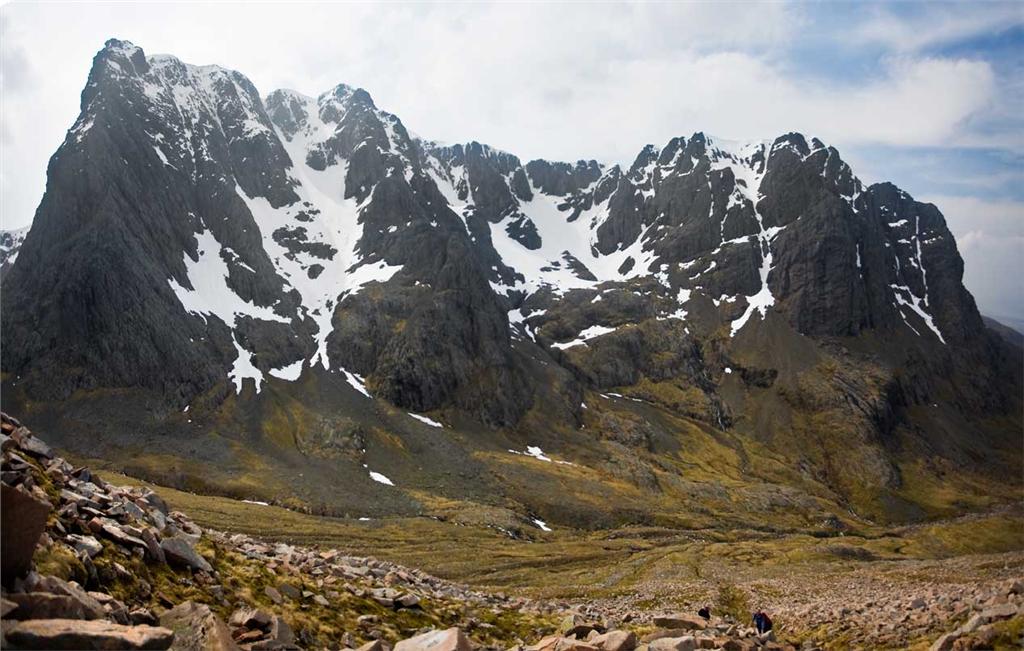
The highest mountain in the British Isles stands 1,344m (4,408ft) above sea level. Situated in the Scottish Highlands near Fort William, the Ben is a fantastic mountain playground, for climbers, skiers and mountaineers, when enjoyed responsibly.

With over 100,000 visitors summiting Nevis every year, there are bound to be a few health and safety incidents along the way – especially considering the 4.350mm of rainfall per annum and only one in ten days with clear skies. Due to its height the average summit temperature is one below freezing, which puts hikers in jeopardy if they’re not equipped with adequate outdoor clothing and equipment.

Main Danger

Navigation from the summit back down the usual tourist path descent is notoriously tricky, with the steep and craggy north face on one side, and the steep and exposed south face on the other. Plenty of walkers and climbers have accidentally strayed into the notorious Five Finger Gully in poor visibility often with tragic results.

Stay Safe

Good nav’ skills, detailed map, compass, and other equipment are crucial, but you can improve your vicarious local knowledge in advance using the dedicated Ben Nevis page on the MCoS website.

Back to top

Cairngorm (The Plateau)

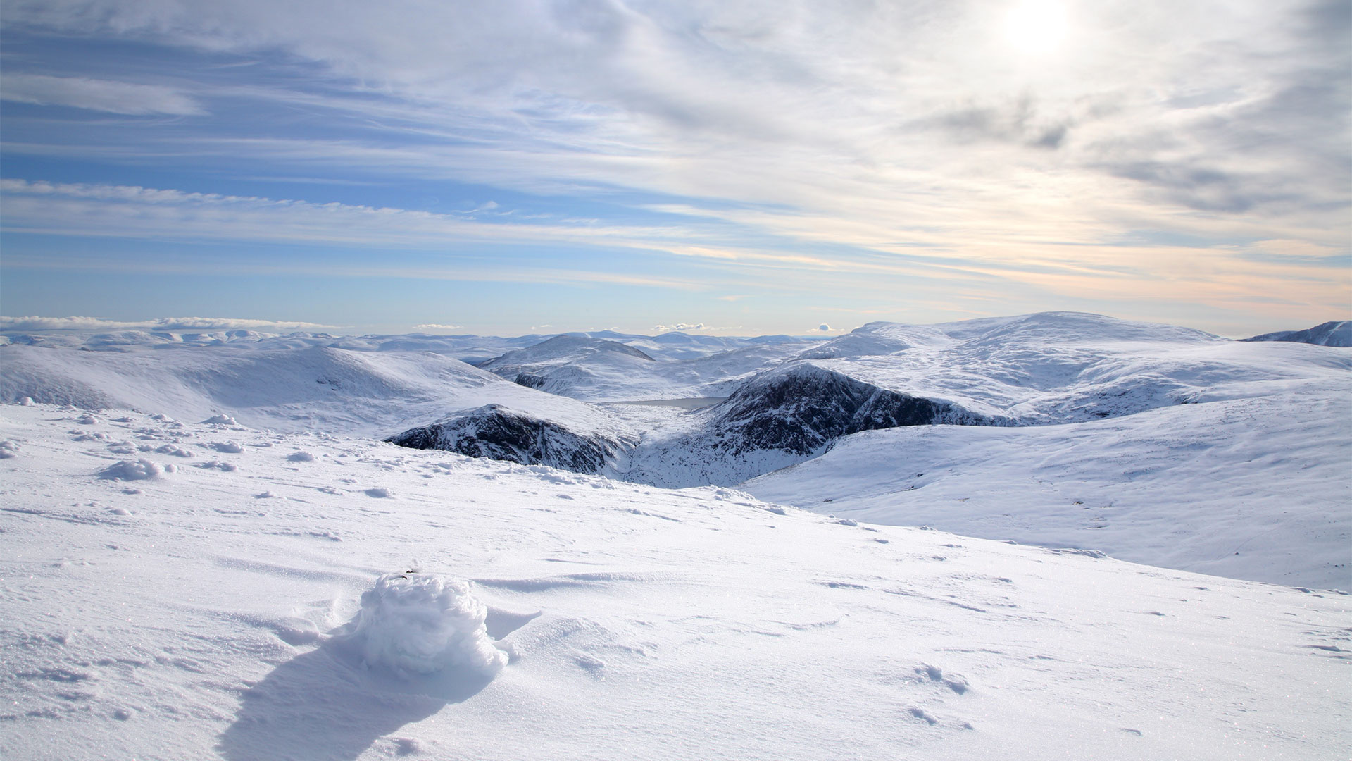
The Cairngorn plateau is a notorious barren spot in the Scottish mountain ranges. Often used for polar training, with snow and ice covering the landscape for much for the year, it is effectively an arctic environment with extreme conditions and rapidly changeable weather.

Main Dangers

The high, exposed plateau suffers from frequent white-outs where ground and sky become indistinguishable and movement and navigation are difficult. Mountaineers become easily disorientated, lost and, thanks to the extreme weather, can easily suffer from exposure. In addition there are plenty of vicious cliff edges which can be incredibly hard to spot in poor visibility and are often concealed by cornices.

Stay Safe

Treat the area with respect, check mountain weather forecasts carefully, plan escape routes and make sure you are carrying the right clothing, food and equipment to survive if things do go wrong. In addition, micro navigation skills are crucial in white-out conditions.

Back to top

Pen y Fan (Brecon Beacons)

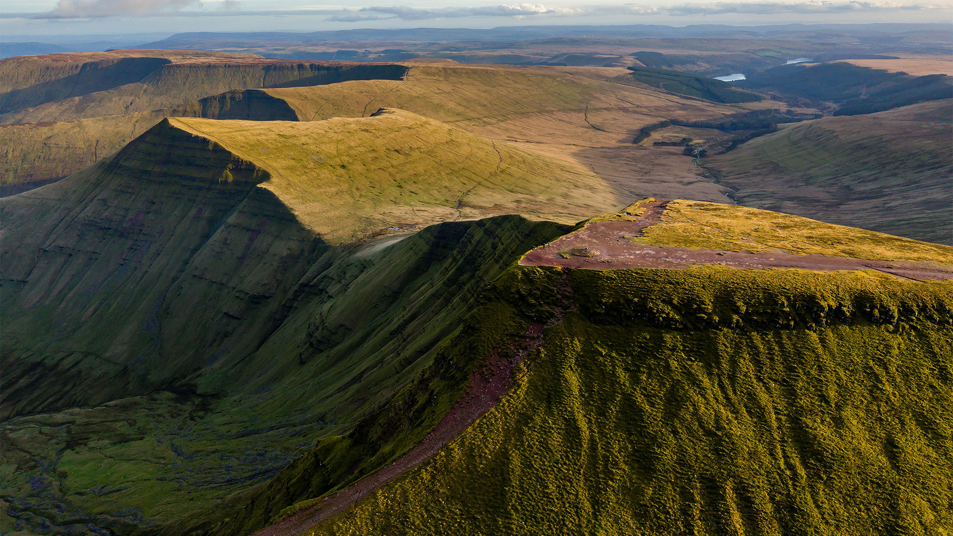
If you looked at the image above you may think that Pen Y Fan looks like a relatively simple peak to walk up but it’s one of the most exposed of all the dangerous mountains we’ve featured.

It’s so open that the military uses it for winter training to prepare them for missions abroad. In July 2013, three soldiers perished during a SAS selection process.

Main Dangers

In a way, the Beacons are a little like the Cairngorms, but because they’re so much smaller, it’s easy to under-estimate the dangers, particularly in winter.

Stay Safe

Don’t under-estimate the area, Good mountain skills should keep you safe, but don’t think that because the hills are smaller and lower, they’re somehow harmless.

Back to top

Helvellyn (Striding / Swirral Edge)

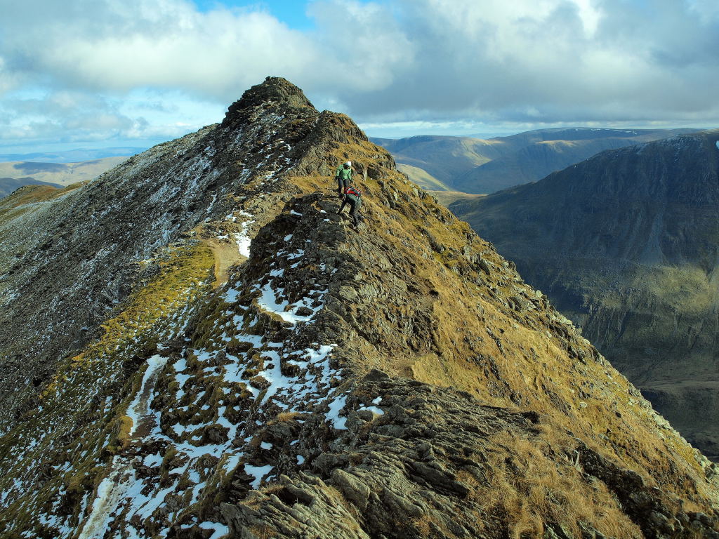
Probably the best known feature on Helvellyn is Striding Ridge (pictured above), a narrow arete and grade one scramble linking the summit ridge of Birkhouse Moor to Helvellyn’s summit and one of the reasons the mountain is so popular all year round.

Main Dangers

Striding Edge isn’t particularly difficult or narrow, but it is exposed in parts and, particularly in strong crosswinds or in full winter conditions, can be dangerous. The most dangerous part of the mountain is arguably the short descent onto the start of Swirral Edge which, particularly in winter conditions, can be lethally slippery.

Stay Safe

Remember in winter both edges are proper mountaineering territory and crampons and axes are often needed along with the skills to use them. The excellent Weatherline service carries daily reports on conditions with advice on whether you need full winter kit. At any time of year, be wary of strong winds on any narrow ridge.

Back to top

Snowdon (Grib Coch / Pyg Track)

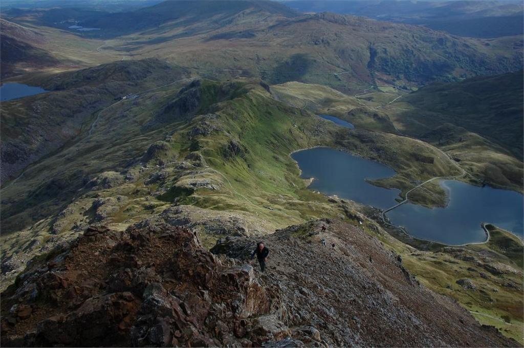
The Crib Goch arete has been described as a ‘knife edge’ due to its extremely narrow track and extreme exposure, which is very dangerous during the winter months. It’s only a grade one scramble as it’s not technically the hardest around but the consequences of a slip can be serious.

Main Dangers

The combination of the very narrow ridge and big, steep drops on either side mean you shouldn’t under-estimate Crib Goch, a small slip means you can potentially fall a long way and once you’re on the ridge, you either have to complete it or turn back.

The other accident black spot on Snowdon is a less obvious one: the zig-zags on the Pyg track can be lethal in winter if you don’t have crampons and an ice axe – and the skill to use them.

Stay Safe

As with Striding Edge, treat Crib Goch with respect. Avoid it if you’re not good with height, if there are strong sidewinds forecast or in winter if you don’t have mountaineering skills and kit. As far as the zig-zags go, don’t assume that because they’re on an easy path, you can tackle them in winter without full winter kit and skills.

Back to top

Scafell (Broad Stand)

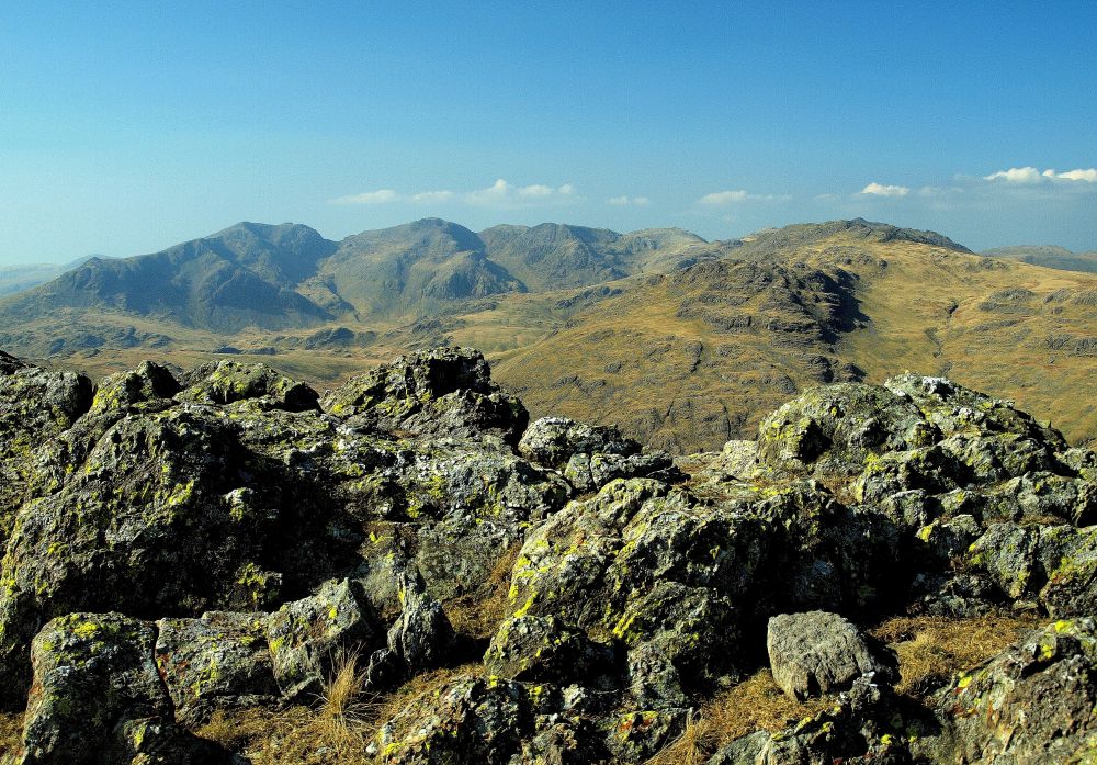
Broad Stand is a scramble short cut onto Scafell from Mickledore the dip between the mountain and Scafell Pike. On part and from below it looks a logical and straightforward way up, but it’s considerably more difficult than it appears and also hard in descent.

Main Dangers

The rock is very polished with poor holds making it extremely easy to slip off and potentially fall a fair distance and it has happened many times.

Stay Safe

Make sure you know what you’re doing, consider taking a rope and small rack for protection and possibly abseiling if you’re descending the route. If you want an alternative scramble on Scafell, consider Lords Rake and the West Wall Traverse or choose one of several alternative walking routes.

Back to top

Aonach Eagach

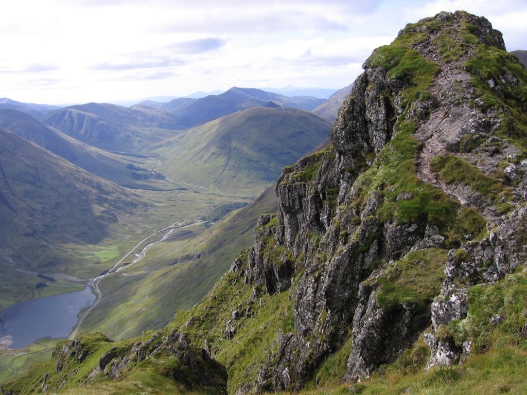
Said to be the narrowest ridge on the British mainland, the Aonach Eagach is an exposed scrambling experience that is certainly one of the UK’s most dangerous accident black spots.

Once more it’s highest point is 3,127ft and given the scrambles are considered the toughest horizontal scramble in Britain, it can be a daunting prospect.

Main Dangers

As with Crib Goch the Aonach Eagach is long, narrow and exposed with relatively few escape points so a slip can be very serious. In winter conditions it’s a full-on mountaineering experience too. Classic accident points include the initial down climb from Am Bodach – consider using a rope – the narrow pinnacled section and, at the end of the day, trying to descent the deceptively tricky Clachaig Gully rather than continuing along and down easier ground.

Stay Safe

All-round mountaineering skills needed particularly in winter. If you unsure on exposed terrain or have a mixed group of uncertain ability consider taking a rope and some protection for trickier sections.

Back to top

Buachaille Etive Mor

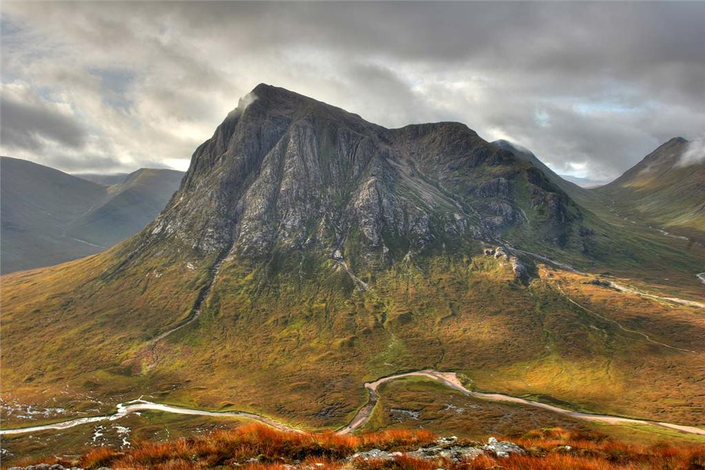
It’s not hard to see why this Munro has the reputation of being the most photographed of all the 3,000ft peaks, it’s stunning and relatively accessible thanks to its position in Glencoe.

However, don’t let its angelic looks fool you. The Scottish Avalanche Information Service say its one of the most avalanche prone mountains in Britain.

Main Dangers

Aside from all the normal mountain hazards of which is has a few, the Buchaille’s most obvious walking approach is up the steep Coire na Tulaich. Unfortunately, the slope is periodically avalanche prone and has been the site of several tragedies over the years.

Stay Safe

A knowledge of avalanche conditions is generally essential in Scottish winter conditions, but the excellent Scottish Avalanche Information Service – www.sais.gov.uk – carries daily reports and forecasts for the area. If the prospects look iffy, play it safe and plan another route.

Back to top

Blencathra (Sharp Edge)

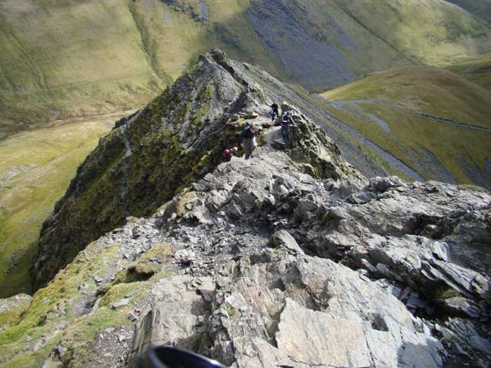
An aptly named arete between Tarn Crag and Foule Crag which has become one of the most famous if not the most hazardous prone scrambles in Britain today.

When describing it, Alfred Wainwright once said: “The crest itself is sharp enough for shaving (the former name was razor edge) and can be traversed only à cheval at some risk of damage to tender parts.”

One of the main issues hikers have when tackling it is the difficult slabby sections which get super slippery when wet, so much so our good friend Chris Boddington’s dog fell off. Sad story but one we can learn from!

Main Danger

There’s just one really iffy, exposed section of slabby traverse, with serious consequences if you slip. Unfortunately the local rock is quite ‘interesting’ when wet.

Stay Safe

Sharp Edge is one place we’d avoid in rain and high winds and treat with respect in winter. If you reach it and aren’t confident of crossing safely, you can always back off. It’s better to retire gracefully and live to fight another day.

Back to top

The Devil’s Kitchen (Cwm Idwal)

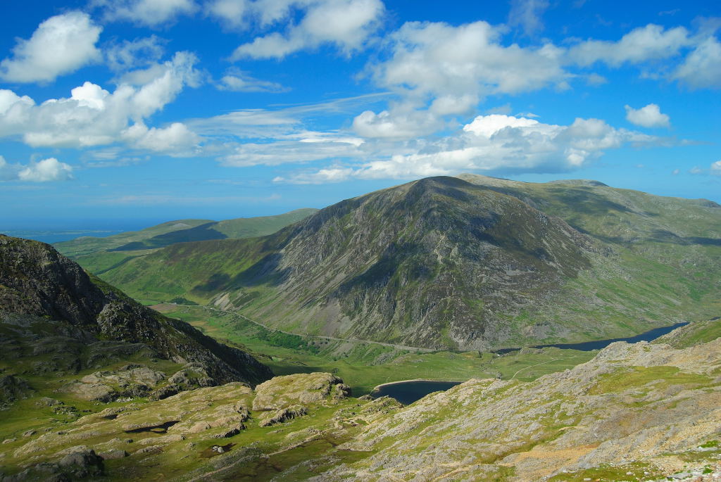
Devil’s Kitchen is actually a cleft in the rock wall at the base of the Y Garn cliffs in the form of a steep gradient scramble in a place where the weather can seriously turn in a matter of minutes, but most walkers using the terms are referring to the path which drops steeply down into Cwm Idlwal from the cam below Y Garn.

Main Dangers

Benign in summer conditions, in winter the path takes a lot of drainage which frequently thaws then refreezes coating the rocks in a layer of water ice. Fine if you have crampons and the ability to use them, not so clever if you’re relying on boots and an axe.Deceptively the path can freeze even when high hills are fine without technical equipment.

Stay Safe

Crampons or micro crampons will get you down fine, so make sure you’re carrying them.

Back to top

Newsletter Terms & Conditions

Please enter your email so we can keep you updated with news, features and the latest offers. If you are not interested you can unsubscribe at any time. We will never sell your data and you'll only get messages from us and our partners whose products and services we think you'll enjoy.

Read our full Privacy Policy as well as Terms & Conditions.

production