Earlier this week (Feb 2 2022), Keswick Mountain Rescue announced on their Facebook page that a team had been deployed to rescue a hillwalker that had got lost while following a navigation app down from the summit of a 634-metre summit in bad weather conditions.
The hiker had apparently been using the AllTrails app to follow a footpath down Causey Pike’s northern slope. The problem was that such a path does not exist, even despite one being depicted on the AllTrails mapping software.
Here is the original post by Keswick MRT: “A man was following a recommended walk around the tops of Braithwaite using the AllTrails mapping software app. As it was getting dark he decided to take a short cut back to his start point by following a path on this app from the summit of Causey Pike northwards to Stony croft Beck. With increasing darkness he became confused and subsequently lost as he could not find the path even with his headtorch. He therefore called 999 and mountain rescue for help. After, he messaged a screenshot of his map showing his position and the cause of confusion became apparent. There is no path in the location, the mapping software was incorrect. He was guided over the phone to the correct path and he made his way down to be met by a small Keswick team to ensure he made his way to safety.”
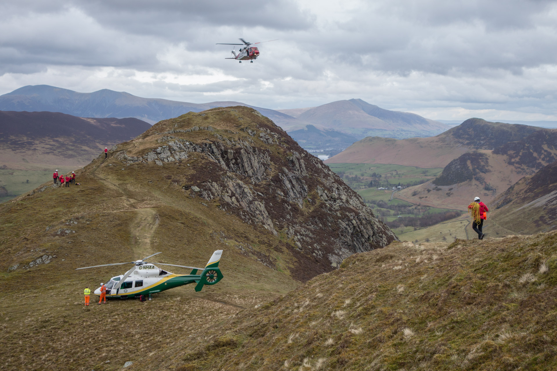
The rescue occurred just days after The Lake District Search and Mountain Rescue Association put out a public call for hikers to be more aware of the dangers of venturing into difficult terrain without a paper map and compass as back up. According to the organisation, one in four of local mountain rescue callouts were “avoidable rescues” due to people getting lost or delayed through not having the necessary navigational skills.
Related: How to Stay Safe When Hiking in Winter
Like a number of other navigational apps including OutdoorActive and Strava, AllTrails gets its route information from Open Street Maps (OSM), though it does also list some of its own verified routes as well. In the case of the recent Lake District rescue, the hiker appears to have been descending down an AllTrails route which is OSM generated but that does not appear on the Ordnance Survey maps created by the national mapping agency for Britain.
AllTrails was approached by the BBC regarding the issue of the non-existent route and a spokesperson responded saying that they had “conducted a review of this particular trail” and that the map had been updated.
She told the BBC: “Trail safety is of the utmost importance to AllTrails and we work directly with parks and land managers to ensure the public receives the best possible information. Users can also help us maintain accurate and up to date trail pages by suggesting edits or leaving reviews.”