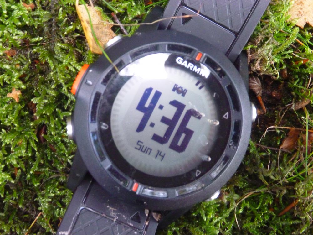
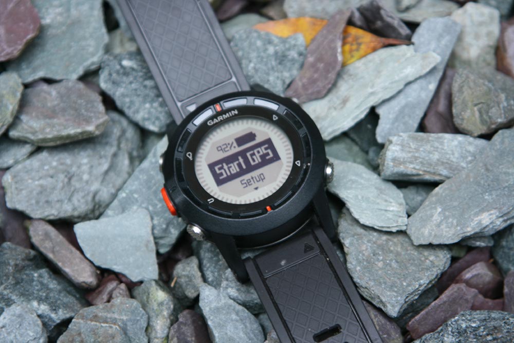
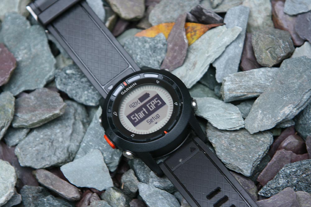
Garmin’s Fenix watch isn’t, strictly speaking, the first GPS watch the brand has produced, but it’s the first one squarely aimed at the outdoors market and mountain walkers and climbers in particular.
Hands Free
Why a watch rather than a conventional GPS unit? In a word, ‘convenience’ – or perhaps more accurately, ‘practicality’. Effectively it’s hands-free GPS. No need to stow it away in a pocket or pack, just roll up your cuff and there it is. Ideal for scrambling, climbing, trekking with poles or any other hands-on activity.
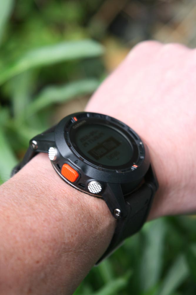
And oddly, even though it’s actually pretty large, unlike most over-sized mountain watches, the Fenix sits very comfortably on the editorial wrist – the shape of the back means it clears our wrist bones nicely and we often simply forgot we were wearing it.
We weighed it at 82 grammes, to put that in perspective, a fairly typical, large mountain watch with built-in barometer etc, tipped the scales at 67g and a Nike HRM watch was lighter again at 58g.
It also, based on two weeks of fairly constant use, seems to be waterproof, very secure and with its hard crystal face, pretty scratch resistant too. So all boxes ticked on that front.
What’s It For?
Because its so small, it’s easy to think the Fenix must be a bit, well, limited. True, there’s no OS mapping on it – come on, that would just be silly – but actually most of the other features you’d expect on a Garmin GPS have been miraculously crammed into a watch.
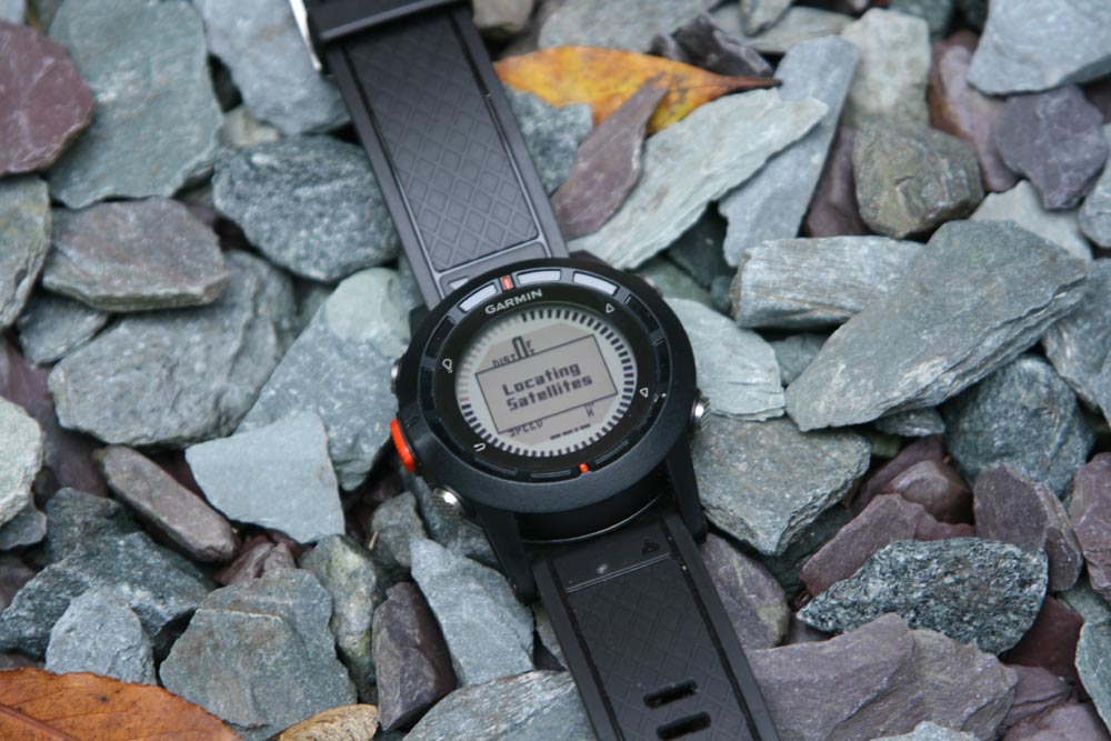
We started off by thinking that the Fenix would probably work best as a track recording device and an emergency – ‘Help I’m lost, give me a grid reference’ – location gizmo. And it’s true, it does both really well. Give the watch a couple of minutes to get a satellite fix, which it does respectably quickly, then clunk through the occasionally non-intuitive menu and you’re set to go.
And yes, you can find your OS grid reference at any point, if you can remember where on the menu it’s stored that is – a ‘where the heck am I’ button would be great.
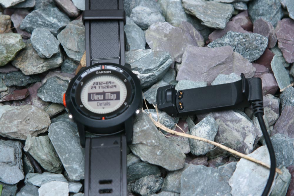
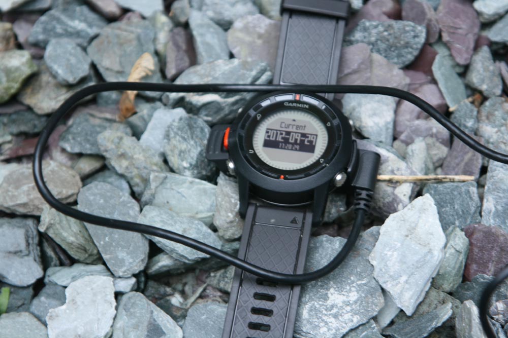
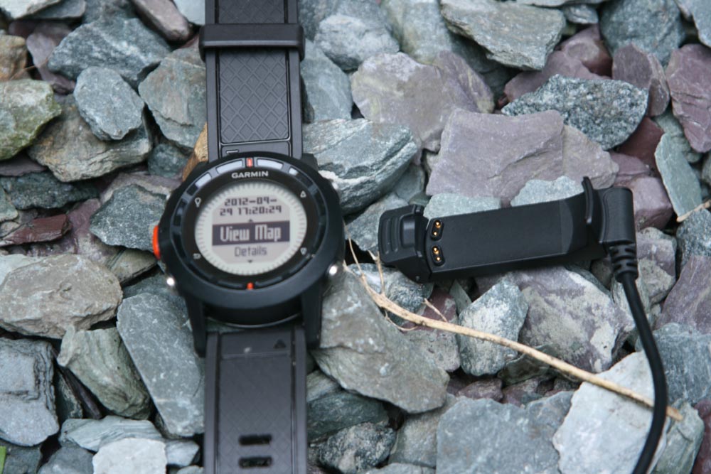
And when you get home, you can simply connect up the watch using a USB cradle with four connection contacts and download your track in GPS form. You also use the cradle for charging either via your computer or a mains adapter, supplied. Running time, by the way, is reckoned to be around 16 hours in full GPS mode, about right for a weekend away.
Follow My Bleeps
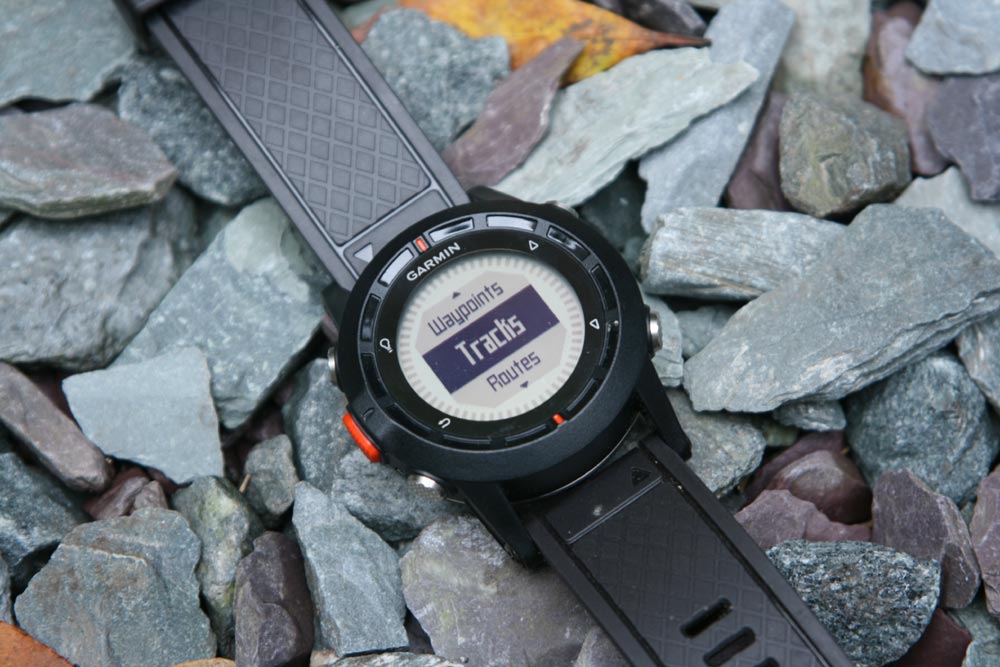
What really impressed us though, was the the unit’s ability to guide you along a route. Generally we’d say Garmin’s interfaces tend to be a little clunky, but loading a digital route in GPX format and then following it was incredibly straightforward.
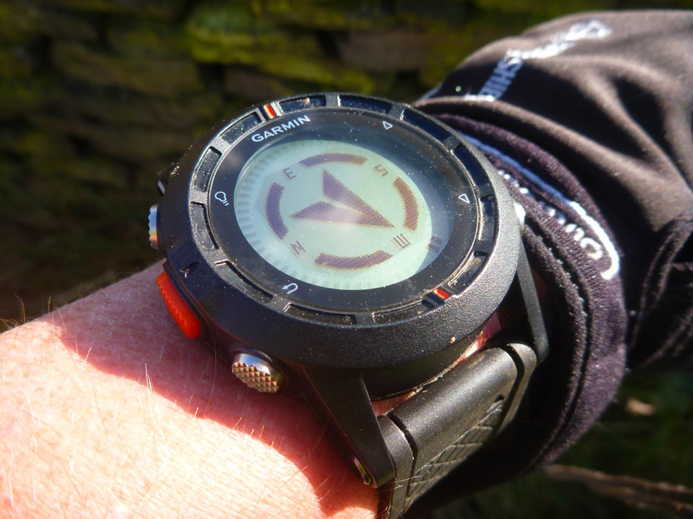
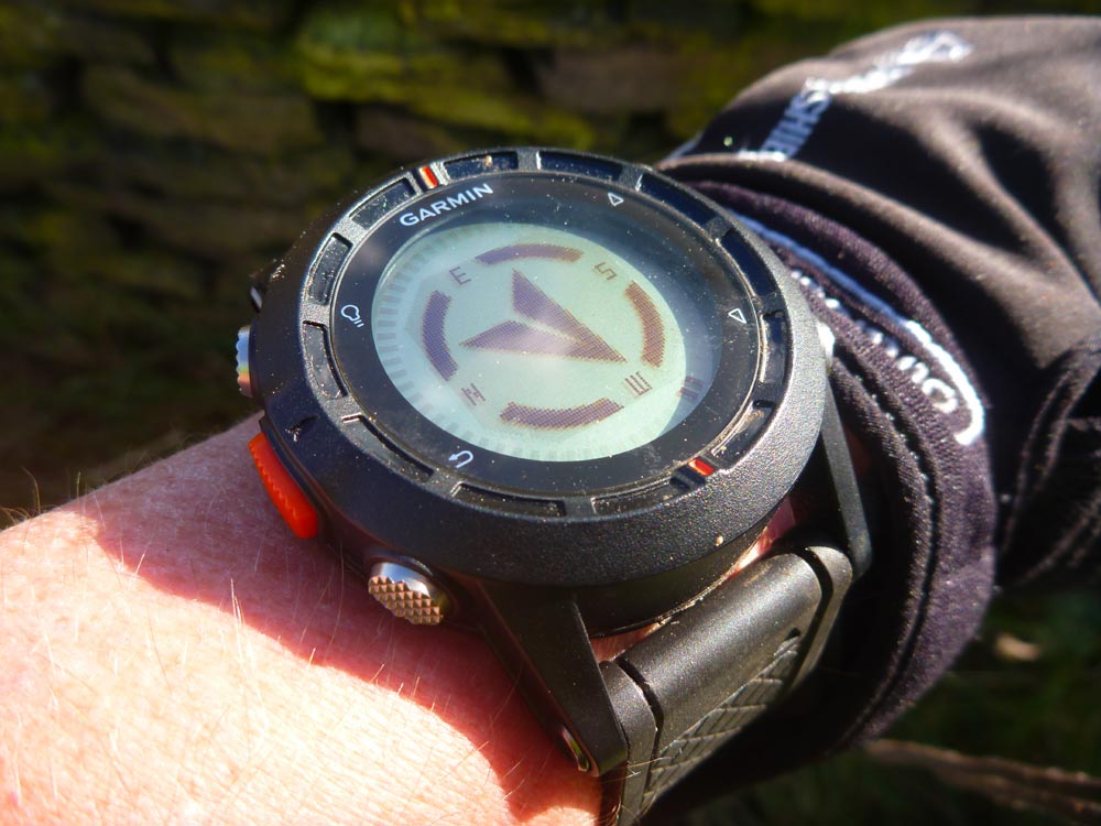
First drag and drop the route – we created it on the OS Getamap site but any GPX file should work – then go to routes on the menu and select ‘Go To’ and, once it’s fixed its location, the unit’s on-screen electronic compass automatically points towards the next waypoint. As you reach it, there’s a bleep and the compass swings round to show the next leg of the route.
It’s simple to use and in our experience, works really well, though it’s better to have fewer, defined waypoints with decent legs between than lots of very closely spaced ones for the sake of your own sanity…
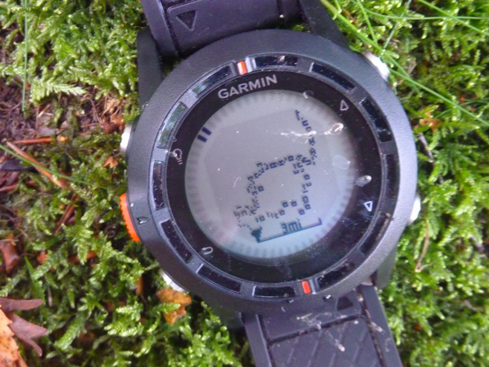
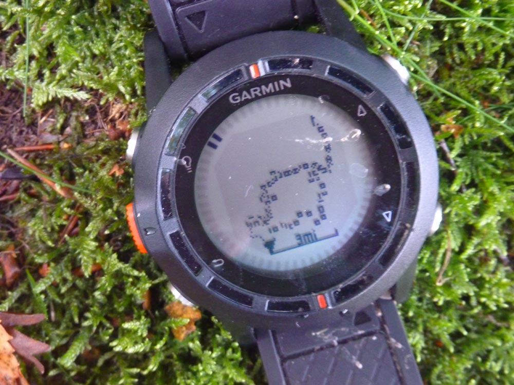
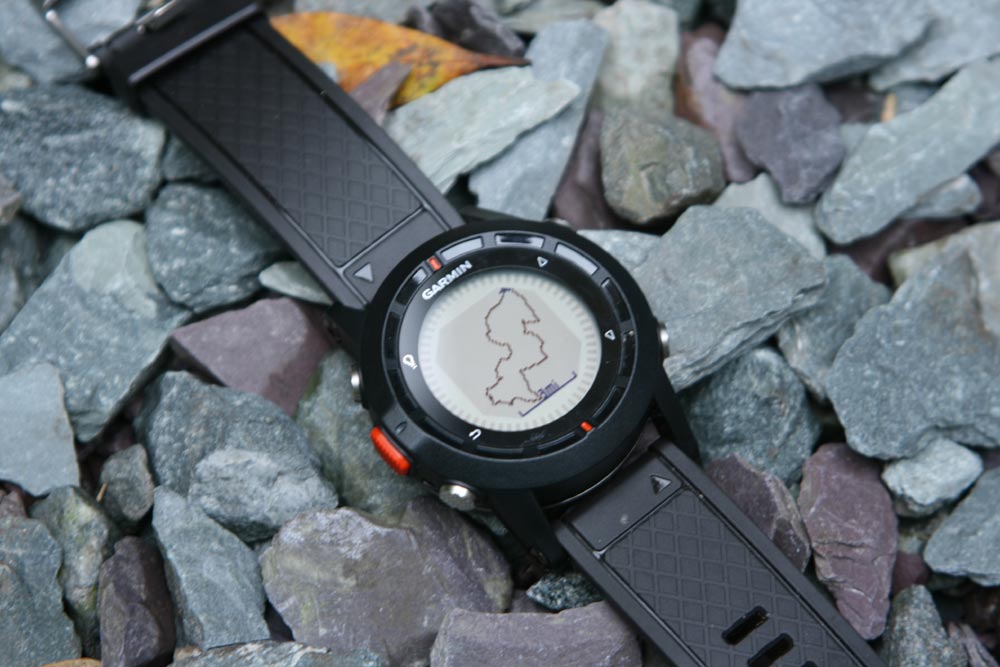
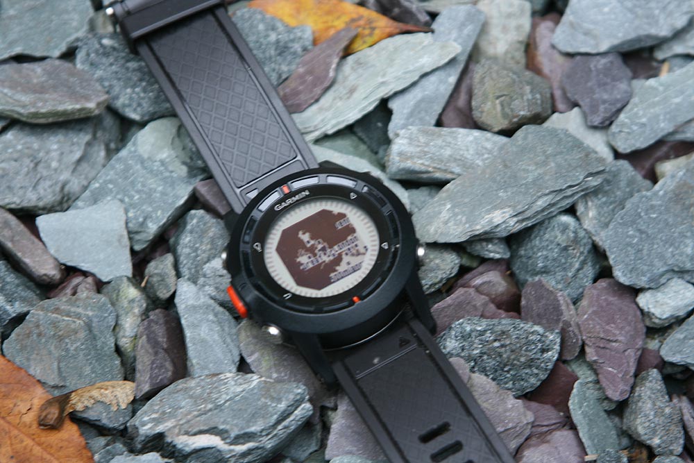
Incidentally, the watch will also display a breadcrumb trail, come map, of your progress and/or your planned route. It’s quite a neat little feature, but we found it of limited use. There’s also an automated trackback feature that’ll retrace your steps.
But the important bit is that despite its compact size, it actually proved to be a very useable navigation tool provided you had a pre-loaded route to follow. Obviously it’s far more limited if you plan on ad-libbing as you go, in which case you’ll need to use it in conjunction with a paper map.
More Besides
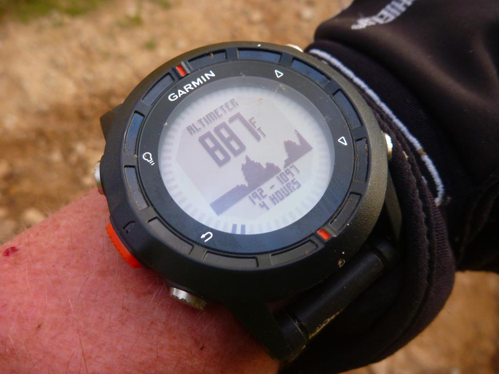
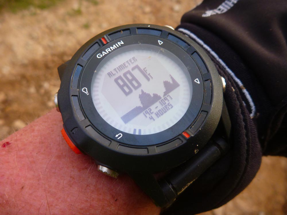
On top of all that, the Fenix also has some neat outdoor watch features like displays for altitude, temperature and barometric pressure, the sort of stuff you get from a non-GPS mountain watch in fact. And we liked having a trip meter and a graphical representation of ascent so far on a track.
Last but not least, if you’re a serious athelete, the Fenix is also compatible with Garmin’s ANT+ heart rate monitor hardware, so you chart you heart rate again speed, distance and so on before downloading it to your computer for serious analysis. We didn’t use that function, but it’s ideal for hardcore runners, bikers and adventure racers.
Initial Verdict
We started off with relatively modest expectations from the Fenix, but ultimately we were really sorry to have to send it back to Garmin.
It’s true that at the £350 suggested price, it’s an expensive bit of kit and it’s also true that it’s features are mostly all available on cheaper, conventional Garmin GPS units, but then that’s missing the point really, which is that all those features are crammed into a super convenient watch-shaped package that’s far less obtrusive than a stand-alone GPS unit or smartphone.
The nice thing about the Fenix is that you can walk, run or ride a bike without really being conscious that you have a GPS unit with you at all until you actually need to use it.
That said, if all you really want it a device to record GPS tracks and maybe as a an emergency location check, then the Fenix would be a very expensive luxury, but if you want to use it as a navigational device as well – something it does very well – then it makes far more sense. It’s still expensive, but we found ourselves using it in situation when we simply wouldn’t have bothered with a normal GPS unit, just because, well, we could.
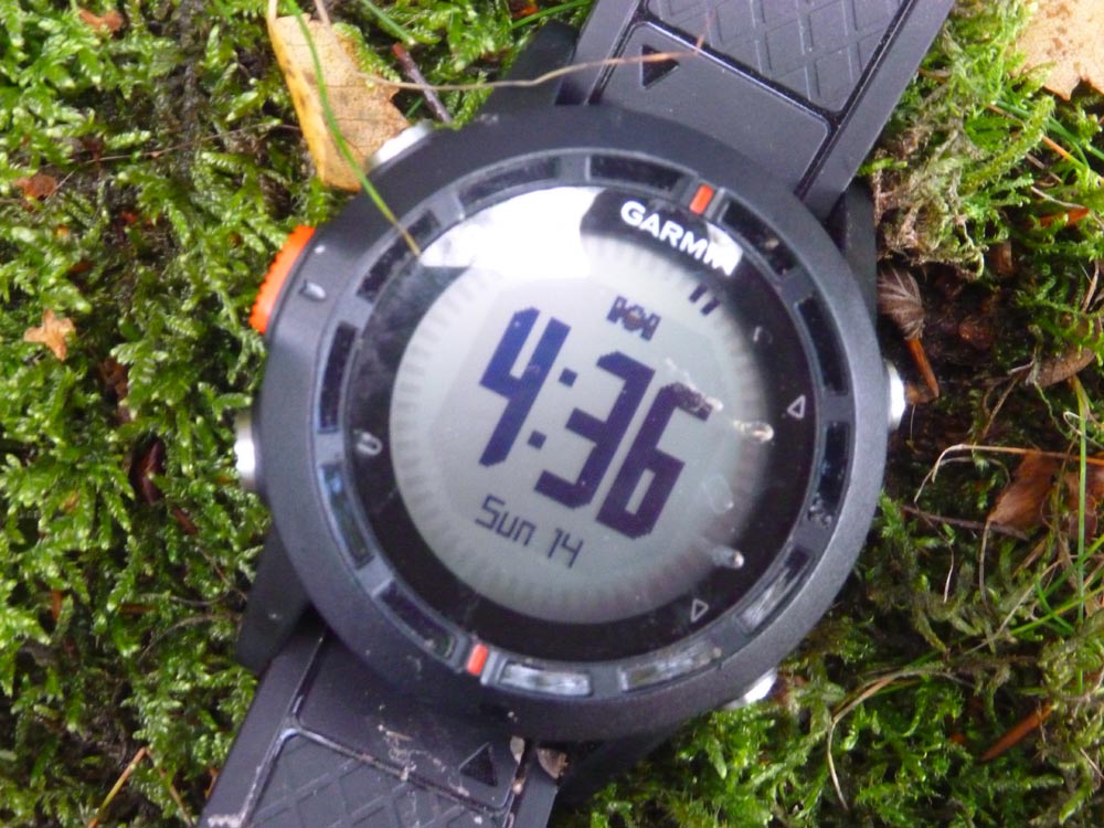
Bottom line: it’s pricey, but does what it’s designed to do very well. Oh, and it tells the time too…
More information at www.garmin.co.uk.

