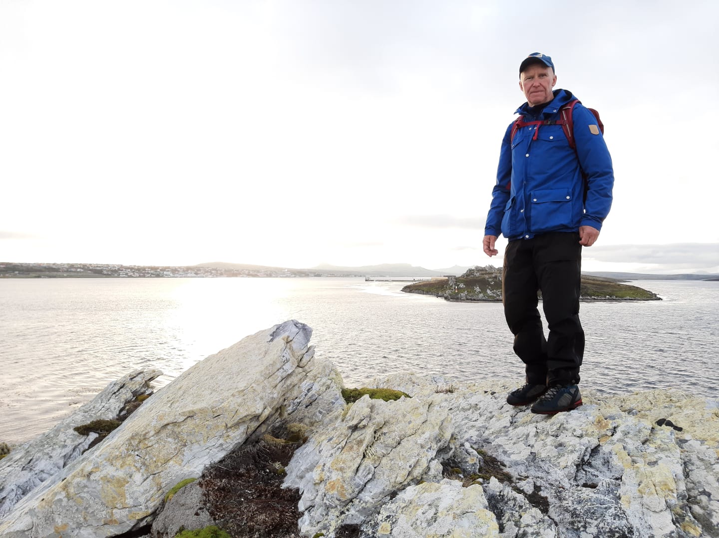
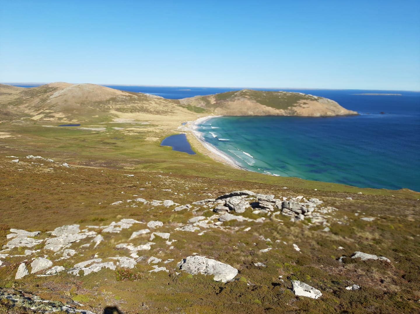
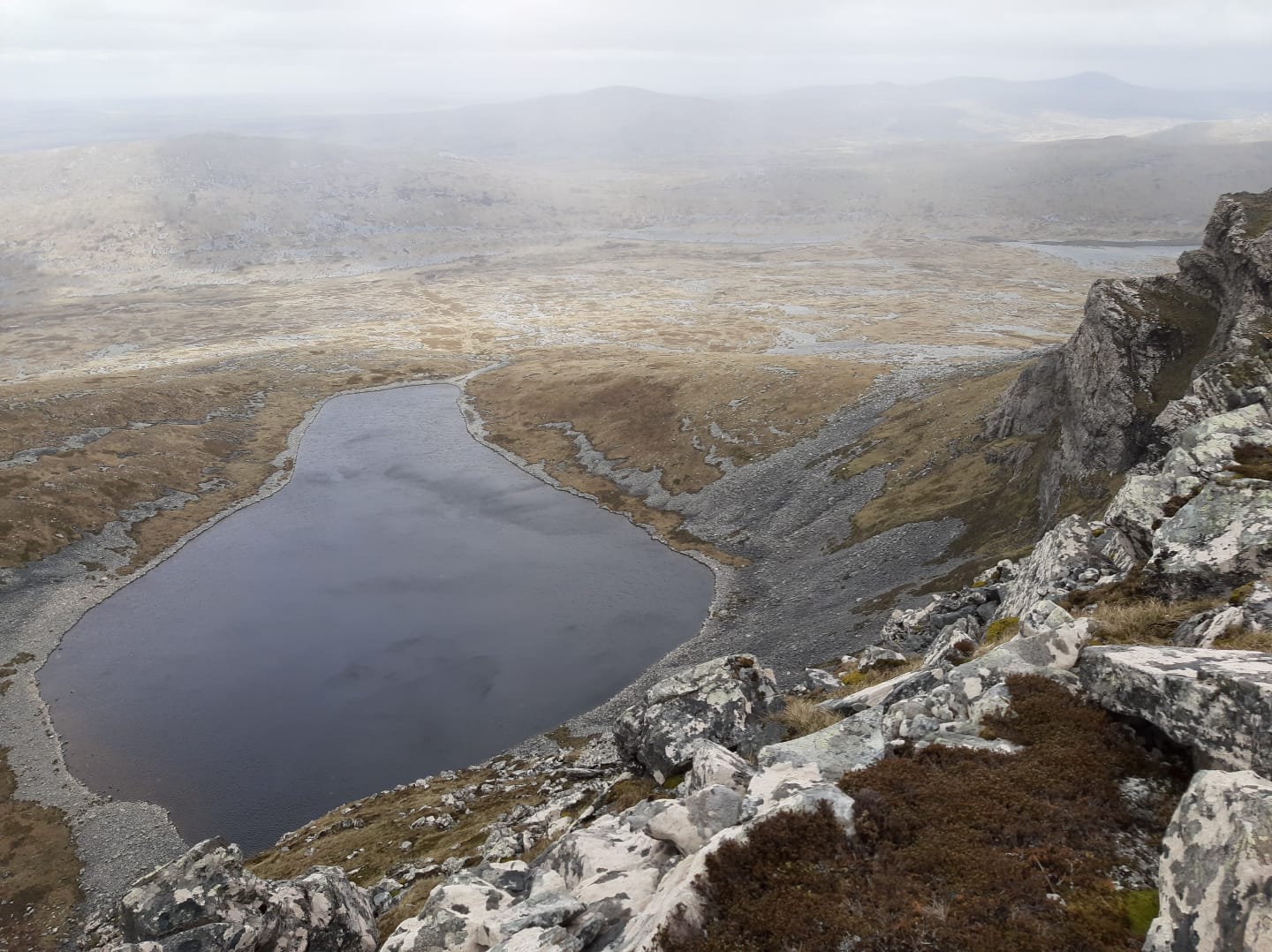
My first thought as I stepped out of Port Stanley airport on my first visit to the Falkland Islands was, wow, I like this landscape. It would transpire to be an excellent week exploring the isolated South Atlantic territory’s vast and rugged landscape with its interesting shaped hills and mountains.
The Falkland Islands are 8,000 miles away and yet they feel like the UK. Once there you feel at home and visitors are made very welcome by the locals. It’s a sparsely populated country, so if you like the hills and mountains to yourself this is the place for you. Most of the around 3,000 inhabitants live in Stanley. The ‘Camp’, as the rest of the Islands’ countryside is called, is virtually people-free.
Although they are not particularly ‘big’ – Mount Usborne 2313’ 705m is the highest point – the hills of the Falkland Islands are accessible and some have rocky scrambles and airy ridges should you wish to deviate on to them. Some of the topography near Stanley is reminiscent of the Northwest Highlands of Scotland, even the rock is a similar quartzite and the prominent twin pointy-peaked Mount Two Sisters, which is classically scoured and carved by glacial ice, reminded me of Suilven, that distinctive peak in Assynt.
Seasoned hillwalkers should be well at home in this terrain, which is a mix of diddle-dee (red crowberry), scrubby white grass, boggy/peaty areas and a green rock-like plant called balsam-bog which is a about human head in size – Charles Darwin called it ‘living rock’. Also there are stone runs which are like horizontal rivers of rock made up of blocks of quartzite. There are no trees which at times can give the landscape a stark beauty.
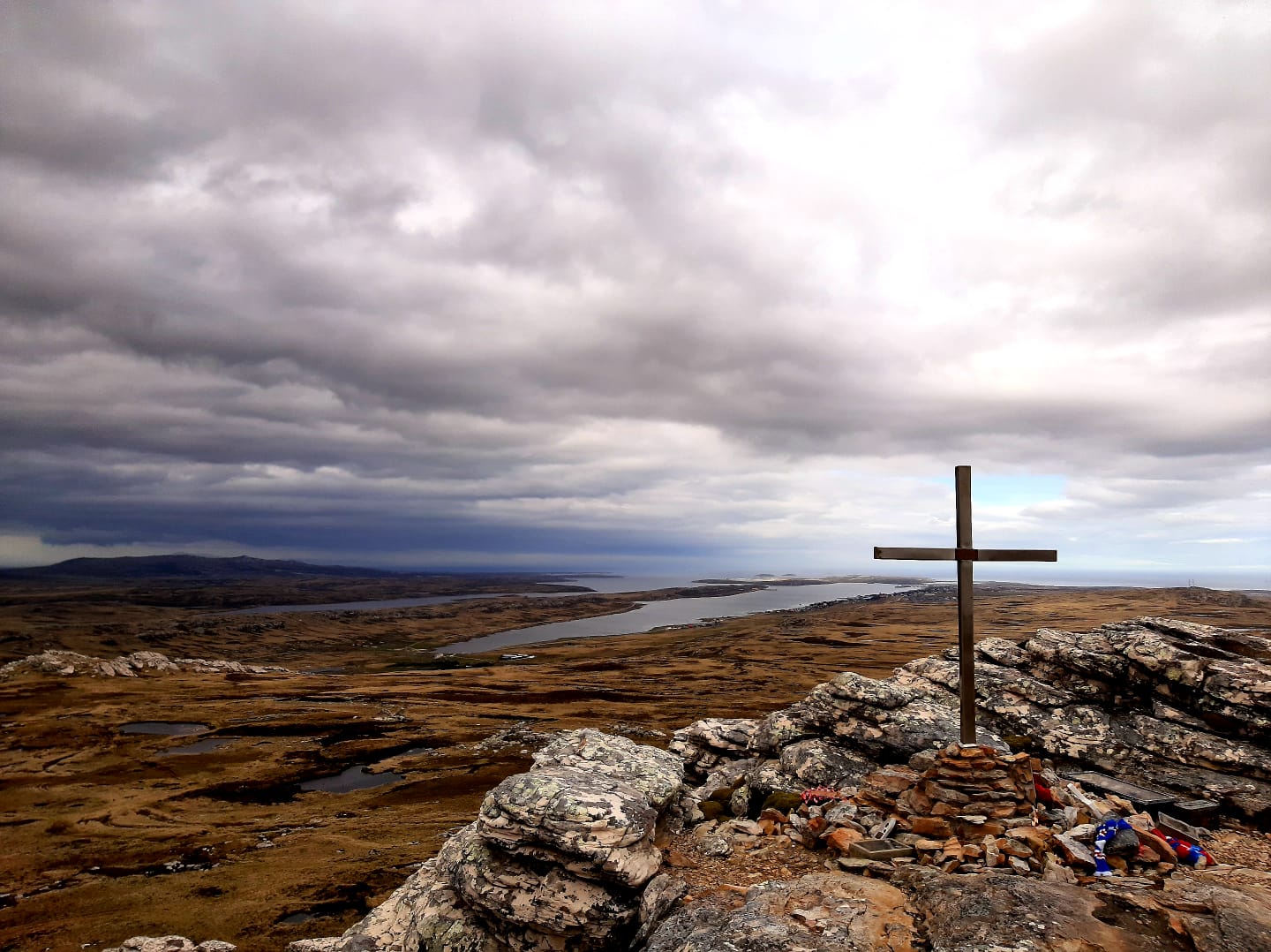
There are no rights of way in the Falklands, no public footpaths or bridleways or access land, so it’s best to ask permission, which is usually given. Around Stanley a lot of the hills are on Falkland Islands Government owned land which is also OK for access.
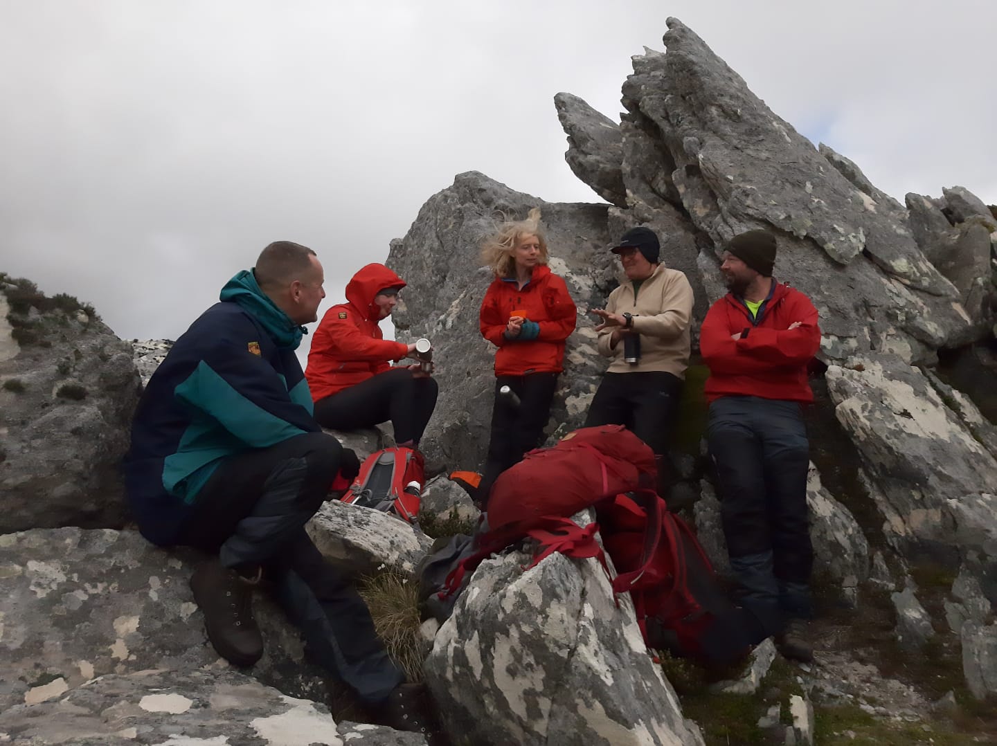
For the British walker, the weather is also familiar if a tad windy at times. At least there are no midges. The air is clear and clean and even on overcast days and the light is bright. A couple of times in a heavy rain squall I put on my waterproof, but mostly a windproof shell was enough. I found my Fjällräven G-1000 clothing was perfect for it. It’s not as wet as the British hills, even underfoot the bogs were not too bad and the short scrubby Diddle-dee is relatively easy to walk over compared to heather or bracken. Mostly you pick your own route, though sometimes there may signs of a ‘path’ where others have walked.
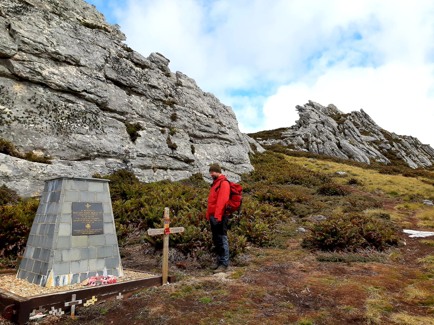
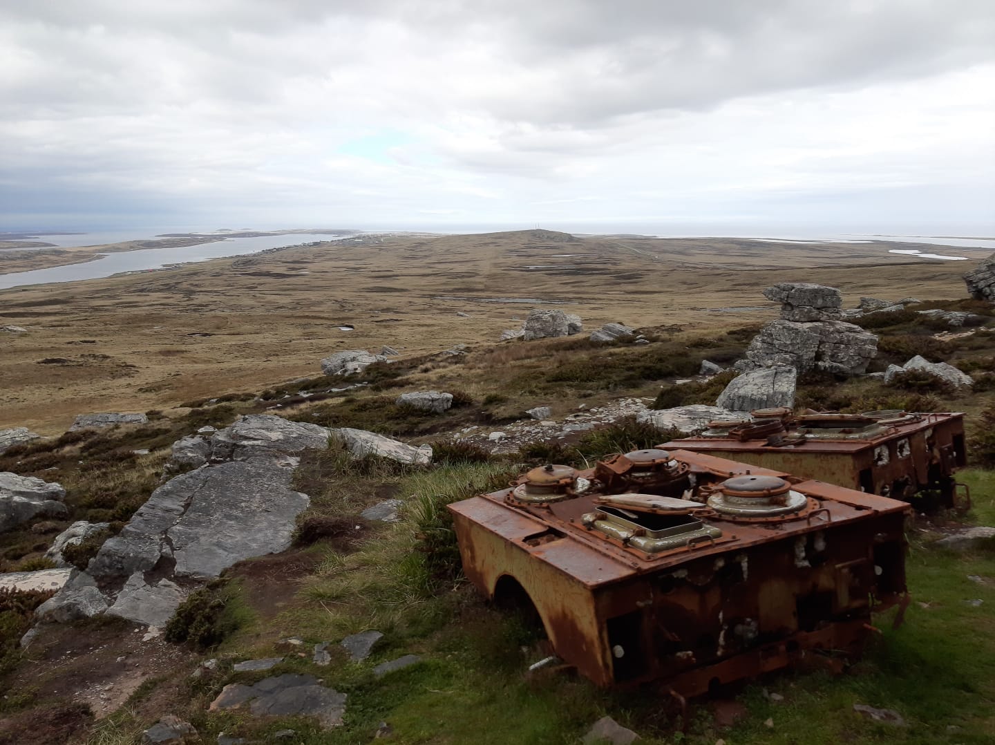
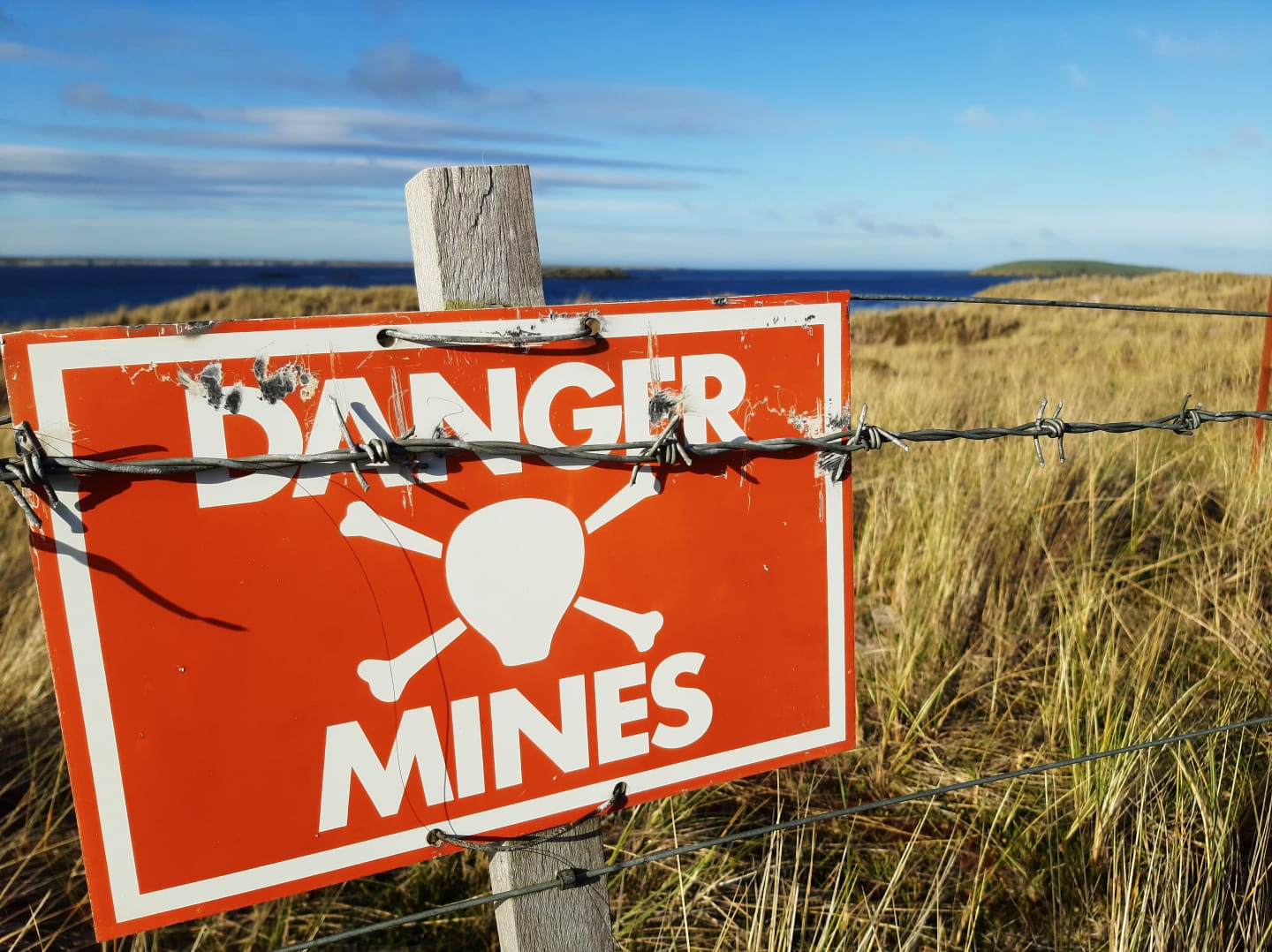
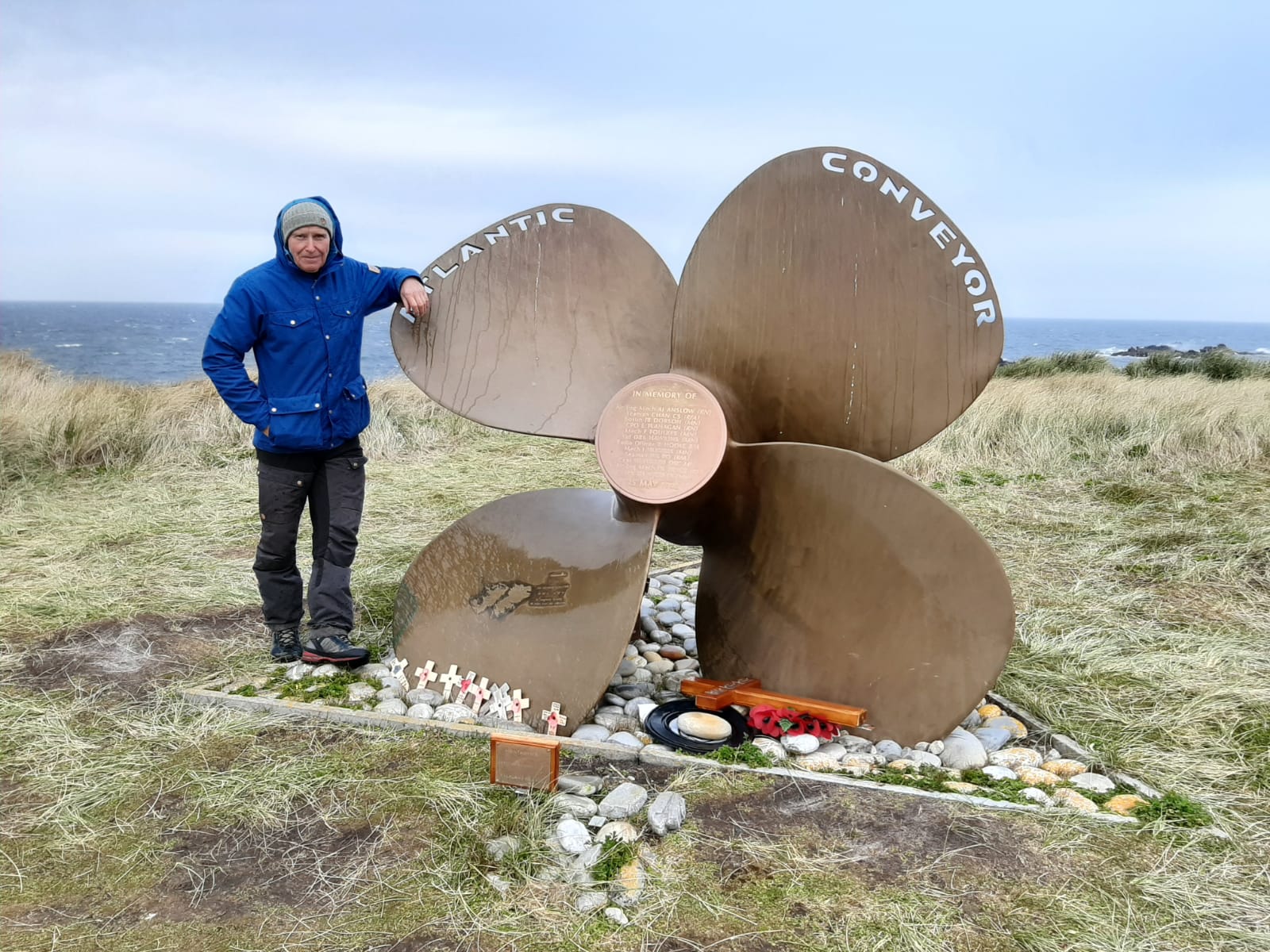
The well-known peaks from the 1982 war with Argentina, Tumbledown, Longdon, Harriet, Two Sisters, Wireless Ridge, William, Kent and Sapper Hill are all easily accessible from Stanley. They make interesting hillwalks in their own right, some like Mount William and Two Sisters have easy scrambles to the summit cairns/memorials and airy Striding Edge/Crib Goch like ridges. They are made more interesting with the battlefield history associated with them. Abandoned Argentinian equipment is still to be found on the hillsides, such as recoilless rifles, mobile field kitchens, 50mm machine gun emplacements, dugouts, shoes, blankets and sometimes some of our spent munitions. Thankfully the minefields have been cleared though some areas still remain cordoned off for now.

