This is part of our series in collaboration with Komoot, the route planning app for runners, bikers, and long-distance hikers. To find you the best walks in the Cheviots, we reached out to a local expert on the area and had him plan his top five routes using Komoot. Paul Mitchinson is your guide for the Cheviots. He runs North East Guides, a dedicated group who provide a range outdoor adventure services all along the Anglo-Scottish boarder (and a bit below too). They run guided hikes, mountain skills courses, indoor climbing, and a wealth of other activities for anyone looking to explore England’s wildest corners. Take it away Paul.
The Best Walks in the Cheviots
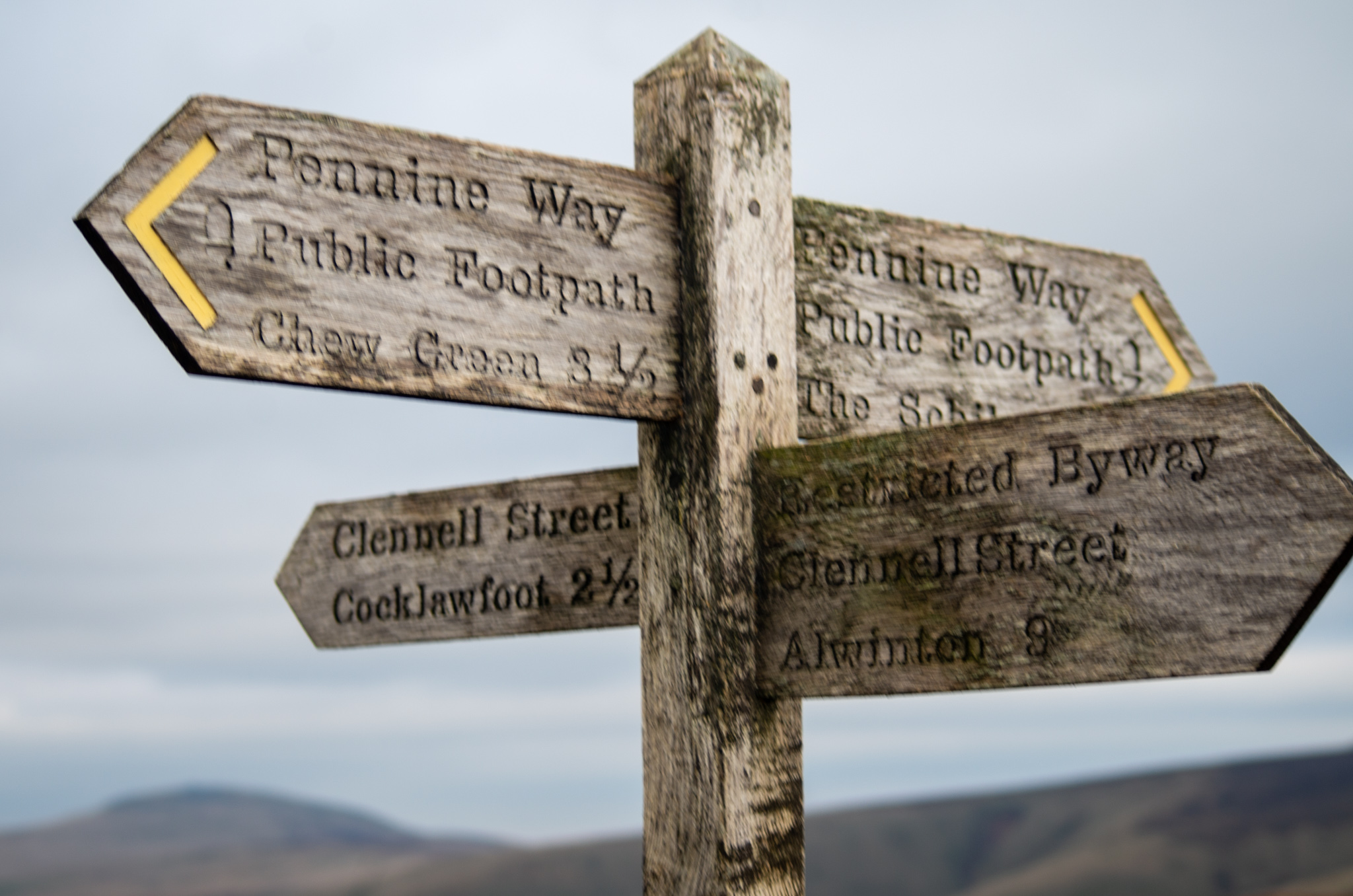
- Harbottle Circular
- Windy Gyle and the Border Ridge
- Yeavering Bell and Humbleton Hill
- The Cheviot via the Hen Hole
- Wild Camp from Alwinton
Harbottle Circular
Distance: 4 miles / 6.5 km
Start/End: Forestry Commission Car Park, Harbottle
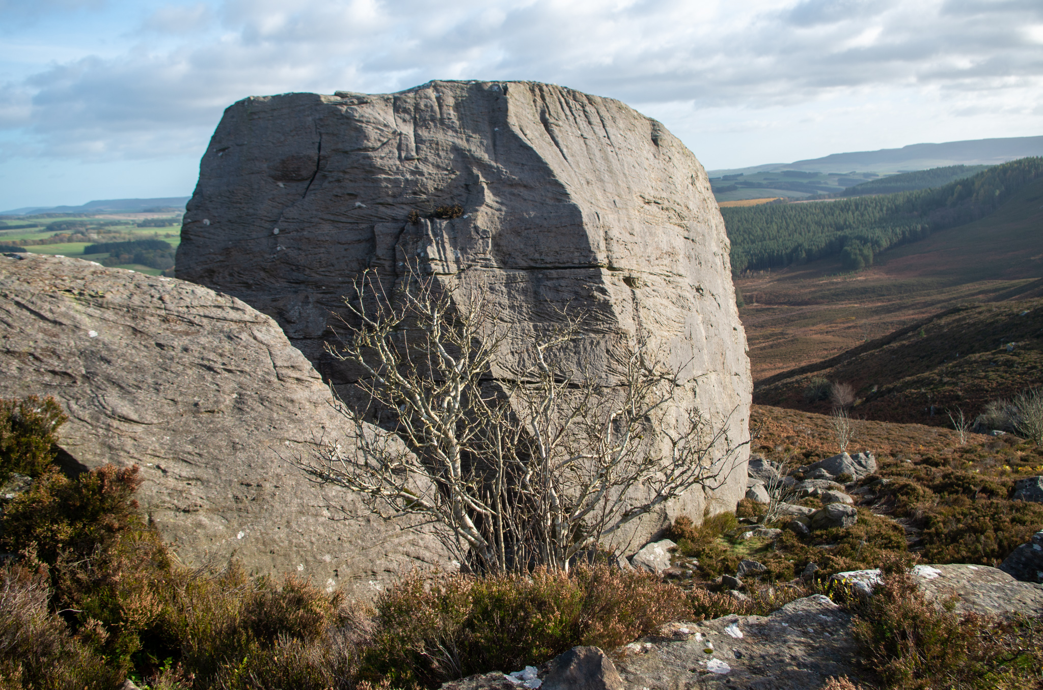
This is a fine, friendly half-day walk which also serves as a perfect introduction to the area. With a length of 9 kilometres and a gentle 500 ft elevation, it should take around three hours. Of course, feel free to spend some more time admiring the views as the route leads you up to the ancient Drake Stone, a striking landmark which sits atop the rolling grassy hills of Northumberland National Park.
If you’re a fan of historical points of interest, look out for the brick arches of a well-preserved lime kiln. Another highlight is Harbottle Lake, which would make for an excellent picnic venue (weather permitting!). You’ll pass the Star Inn before returning to the starting point at the forestry commission carpark – why not stop off and rehydrate with one of their delicious local ales?
Windy Gyle and the Border Ridge
Distance: 7 miles / 11 km
Start/End: Trows Bridge, River Coquet
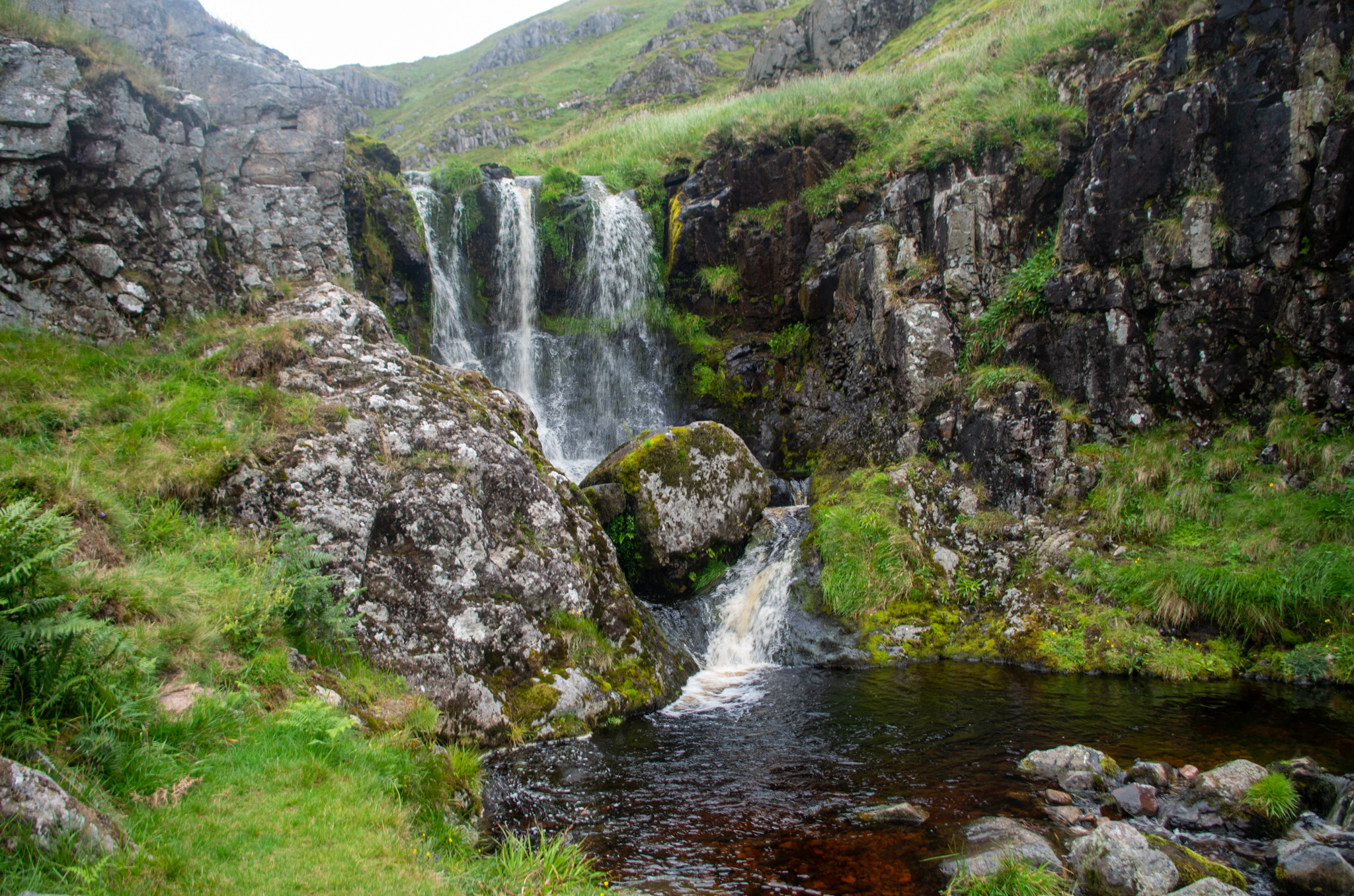
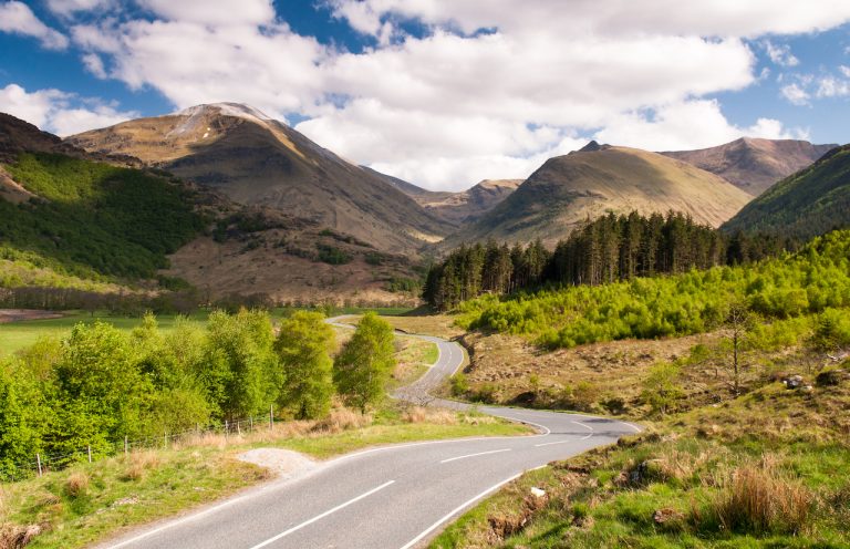
This walk is a particular favourite of mine, it gives you a great taste of the wilder parts of the Cheviots. It takes around 4 hours for the basic walk, however it can easily be extended to visit Davidsons Linn waterfall, which adds an extra 7k and 2 hours. Starting off in a small parking area at Trows Bridge, you’ll walk up an old Drover’s road alongside the peaceful flowing Rowhope Burn river, eventually meeting the Pennine Way.
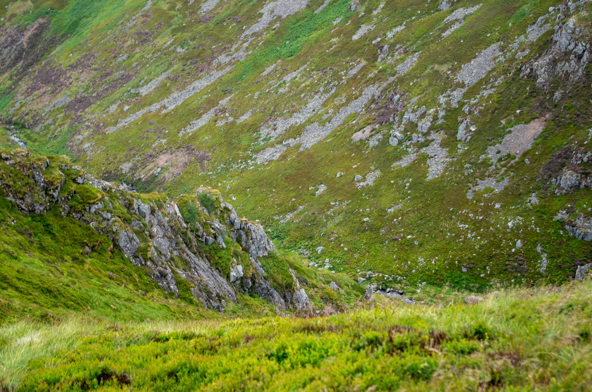
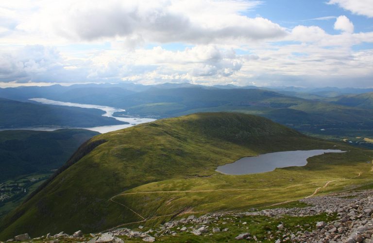
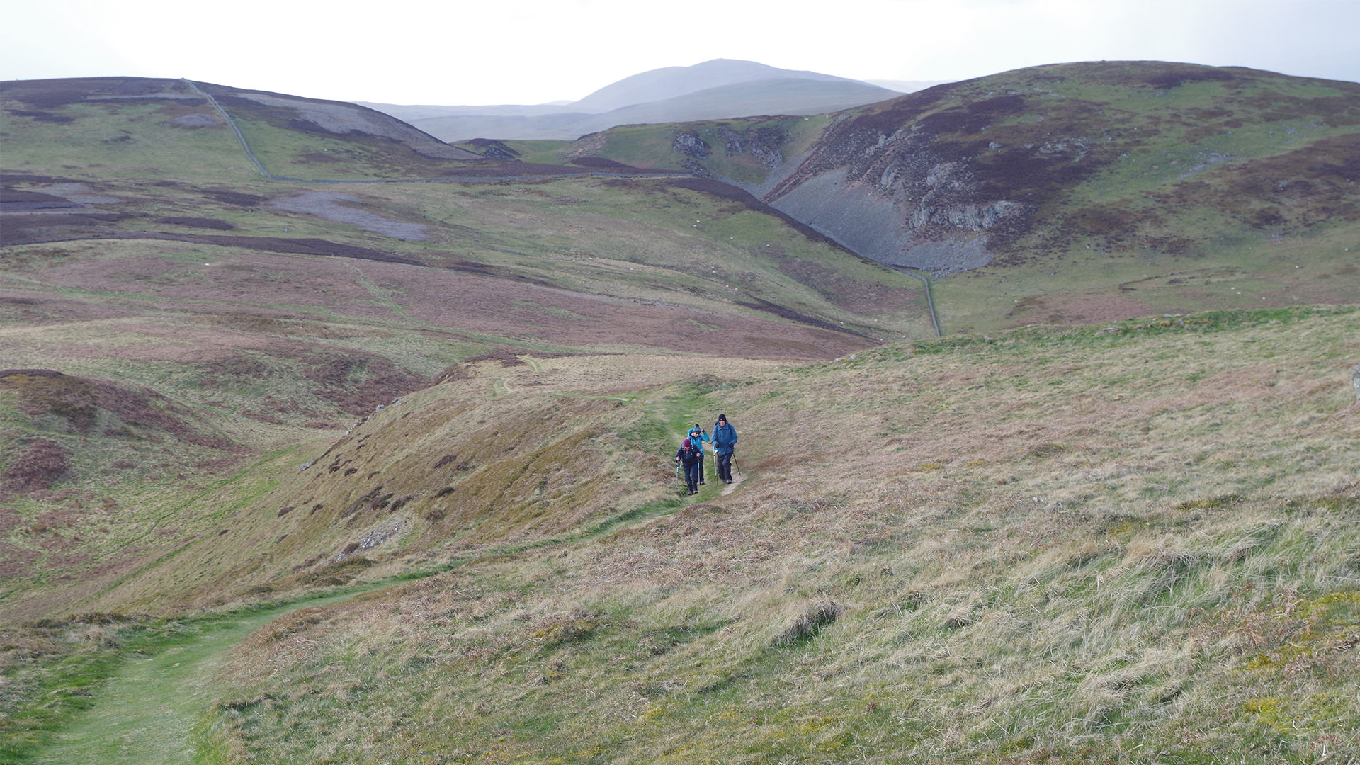
A somewhat challenging climb will bring you to the top of Windy Gyle, from which you’ll enjoy views of Scotland to the north and views of England to the south. The cairn at the summit – Russel’s Cairn – is right on the border, so feel free to impress your friends by taking a step and announcing that you’re in a different country. Once that gets boring, walk along the border ridge and swing back down through the grass-covered hills. With some luck, the local wild goats may put in an appearance, which is always a treat I’ll never get sick of.
Yeavering Bell and Humbleton Hill
Distance: 10 miles / 16 km
Start/End: Cheviot Centre, Wooler
Another favourite in the area, and not-too-strenuous! This 10-mile walk starts and finishes in the town of Wooler, which boasts numerous pubs and cafes as well as some great accommodation options for those traveling light, including Wooler YHA and Shepherds Huts. Starting out from the Cheviot Centre car park, the full route should take around 6 hours. Once you’ve ascended Yeavering Bell, you can take in the ancient ruins of the hillfort (dating back to the Iron Age!). Its short walls and crumbling stone perimeter holding hundreds of years of history.
On a clear day, views can stretch all the way to the sea. Once you’ve thoroughly enjoyed the sites, you’ll drop down from Yeavering Bell and join part of St. Cuthbert’s way, which is another opportunity for potential wild goat sightings. Just try not to scare them off by shouting with delight – they’re trying to eat lunch.
The Cheviot via the Hen Hole
Distance: 9.3 miles / 15 km
Start/End: Mounthooly, College Valley
For this walk you need a pass for the College Valley, which are available here: college-valley.co.uk
This obscure valley is tucked between the hills toward the top of Northumbria National Park. You may well want to spend the night at Mounthooly Bunkhouse, the only accommodation choice for some distance (and also, surprisingly, where this walk starts). The route is manageable for anyone with sure footing and decent fitness, some steady ascents and not-too-technical scrambling are on offer, perhaps a great choice if you’re looking to try some rockier routes for the first time.