Walking the Snowdonia Way | The Big Backpack - Outdoors Magic

Outdoors Gear, Equipment, News, Reviews, Forums, Walking Routes and More at OutdoorsMagic.com

Share

Outdoor Features

Walking the Snowdonia Way | The Big Backpack

Alex Kendall details the stunning new 97-mile walking route he created through Snowdonia National Park, the Snowdonia Way

People have a history of disappearing in Snowdonia. Owain Glyndŵr, after his 15-year rebellion against the English in the 15th century, was never killed. The rebellion over, he retreated into the northern mountains, and vanished. Hundreds of years before, King Arthur was supposedly slain on the slopes of Snowdon, fighting an army near Cwm Tragalan. After his death, his knights took his body to a cave on Y Lliwedd, where they wait to rise again.

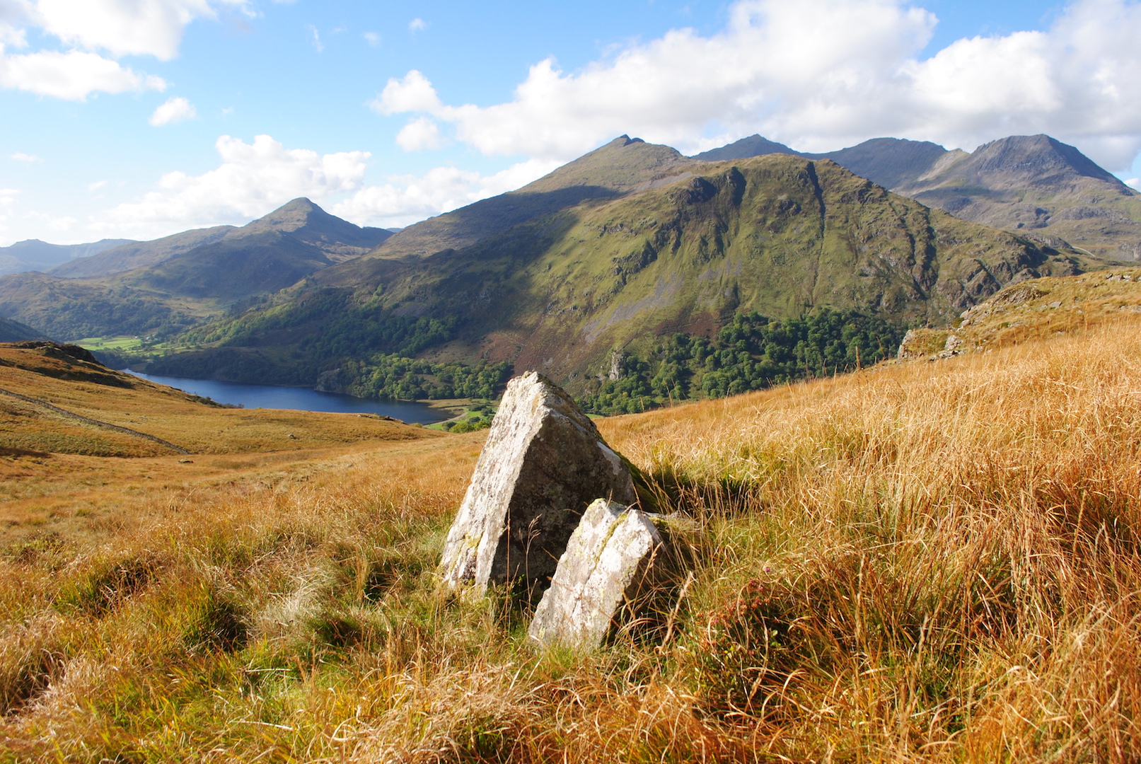
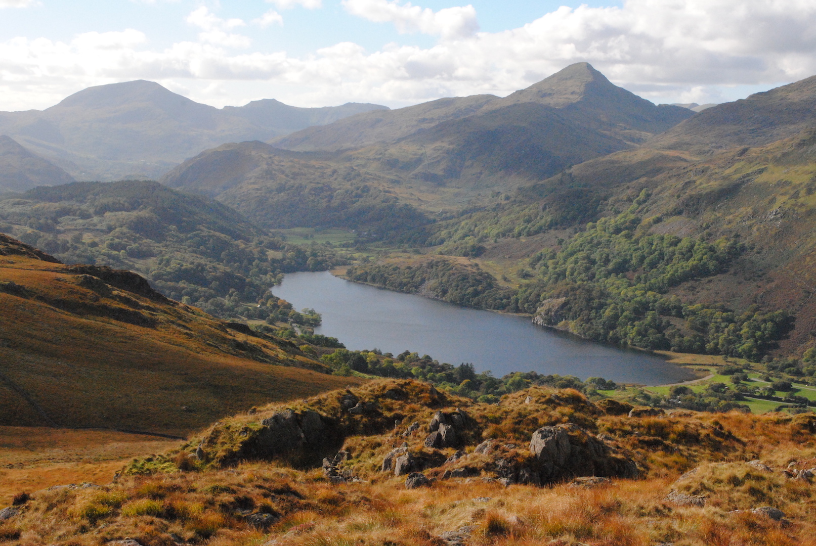
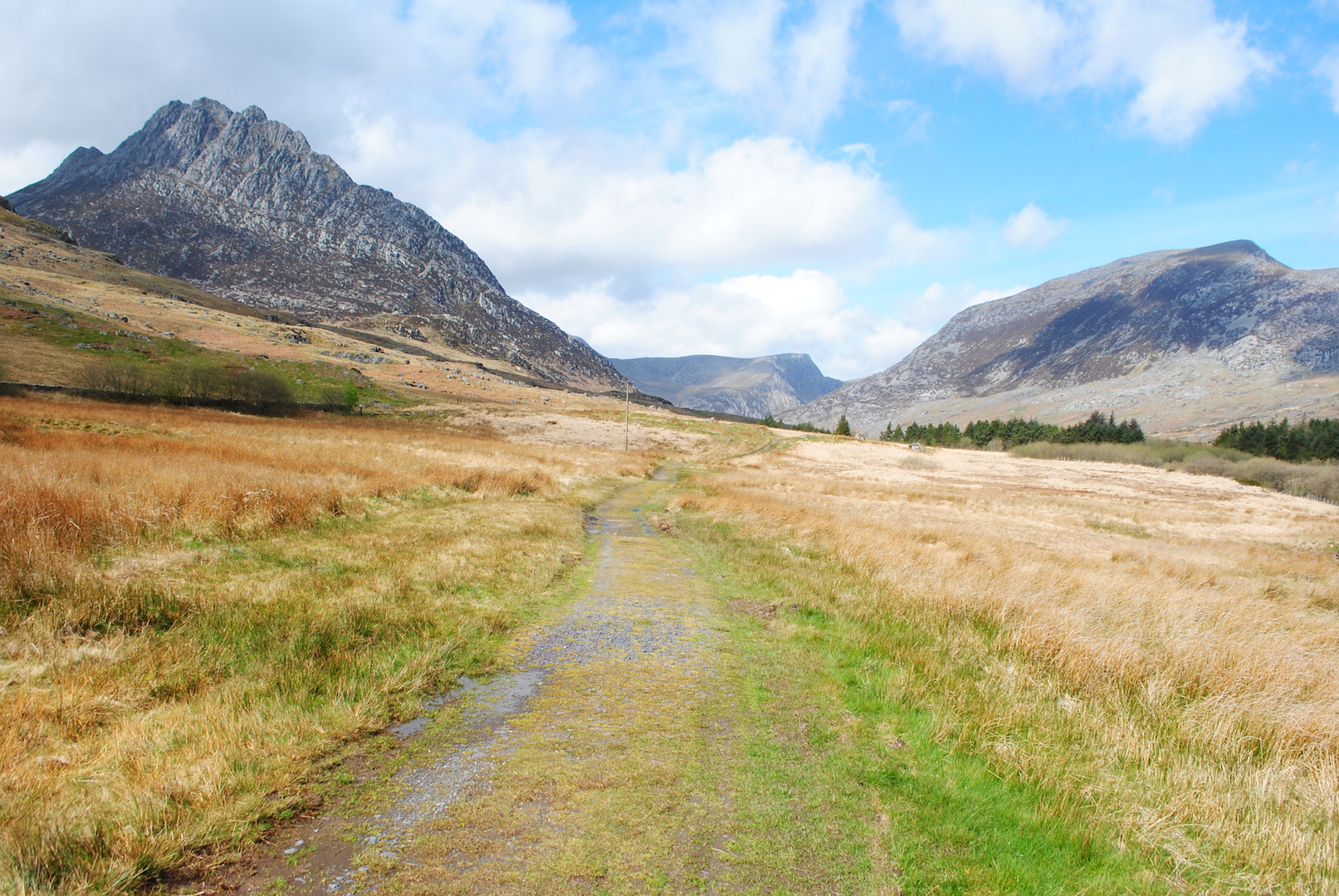
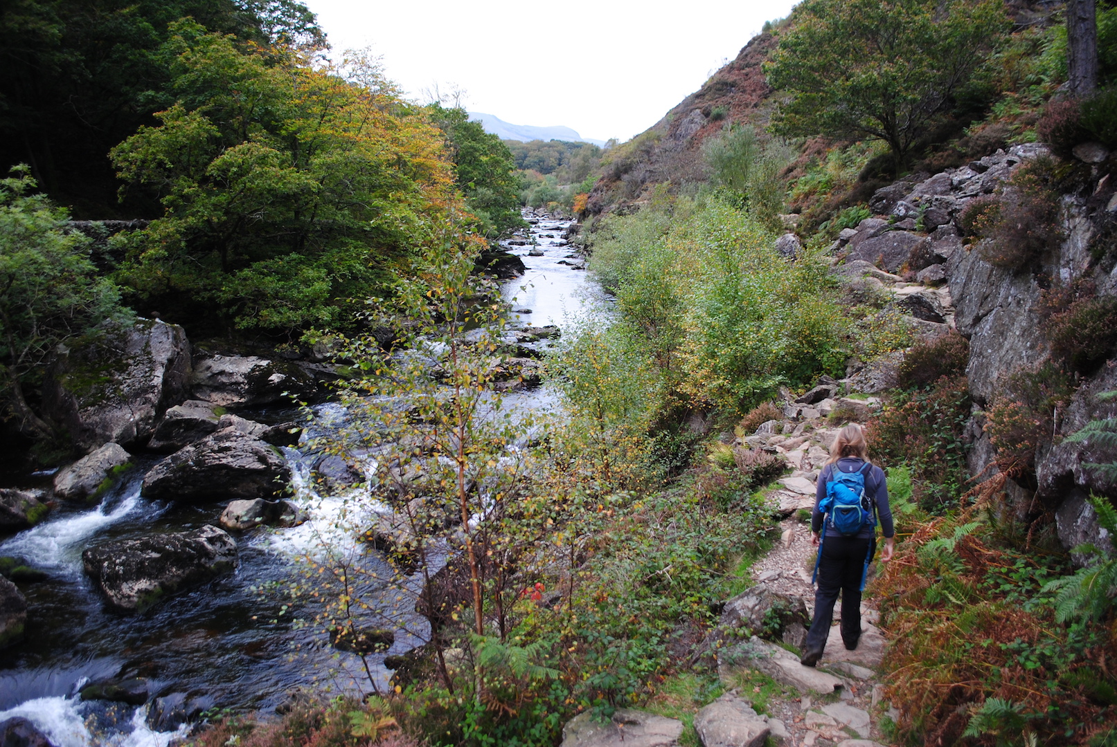
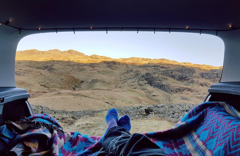
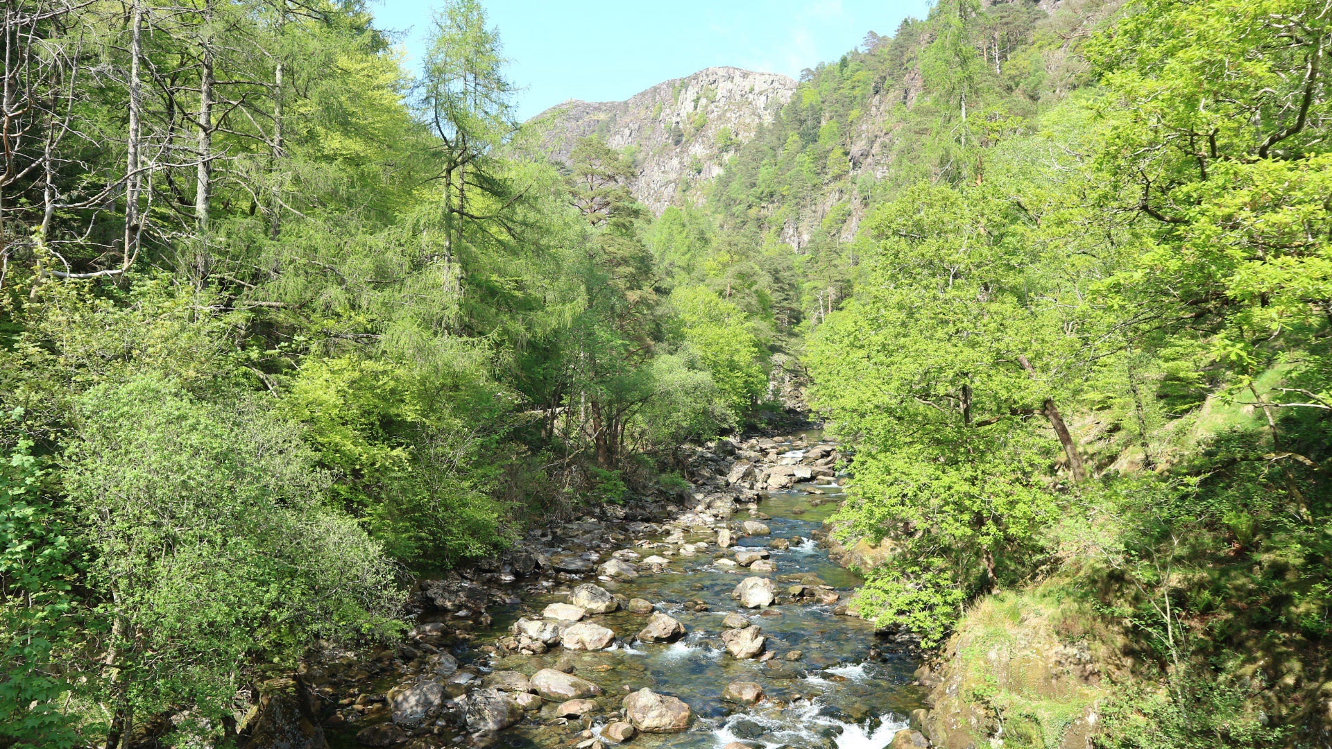
These are just two of the characters you’ll meet on the Snowdonia Way, the low-level long distance walking route I developed over two years, which makes its sinuous way through the Snowdonia National Park. Alongside history and myth, what you’ll discover over its 97 miles are the huge variety of landscapes in North Wales, from wildlife-rich wooded valleys to sandy estuaries and rocky mountain streams. You’ll see why it’s such a good place to disappear.

The Concept of the Snowdonia Way

My idea for the Snowdonia Way began with a map of the south Pennines. Northern England is blessed with an impressive range of long-distance trails, many marked onto maps and with their own waymarking. The endless opportunities for walking that these trails offer got me wondering why the same thing wasn’t there for Snowdonia.

The Snowdon Horseshoe. Photo: Alex Kendall

As a National Park, it is reasonably long. The southern edge lies along the Afon Dyfi, where the sparsely populated hills of mid-Wales rise up in waves to the great rearing breaker of Cadair Idris. In the north, the largest area of high land in the country, the Carneddau, a great plateau in the sky, drops finally into the Afon Conwy.

Walking The Southern Section

The overall route was immediately apparent, and seemed so obvious I wondered why no one had thought of it before. It would start at Machynlleth on the southern border, and make its way north to finish in Conwy, nicely positioned on the north-eastern tip. Though sometimes several days were spent on one section, finding the best path, avoiding locked gates, thrashing through bracken and hopping over rivers, the line eventually formed.

Nant Gwynant from the Moelwynion. Photo: Alex Kendall

From Machynlleth, the ancient capital of Wales under Owain Glyndŵr, the trail heads north, passing the slate villages of Corris and Aberllefenni via the dark green blanket of the Dyfi forest before Cadair Idris appears ahead and the trail drops down into Dolgellau, home of Welsh gold. From here, the route leads along the Afon Mawddach and through Coed y Brenin to reach Trawsfynydd Reservoir between two ancient fastnesses, the oldest rocks in Snowdonia in the Rhinogydd Mountains, and the great moor of the Migneint, reputedly the centre of the ice cap during the last ice age.

“These mountains were a hideaway or a scourge, a sanctuary or a menace, depending on your side in numberless conflicts going back to the Iron Age and beyond”

Beyond Trawsfynydd it descends into the Vale of Ffestiniog giving a glimpse of the sea and the old harbour of Porthmadog. Along hillsides and past the pointed summit of Cnicht it reaches the halfway point of Beddgelert via the beautiful gorge of the Pass of Aberglaslyn.

Tryfan and Pen yr Ole Wen over the Ogwen valley. Photo: Alex Kendall

Walking The Northern Section

Beddgelert lies under the shoulder of Snowdon, famous for the legend of Prince Llewelyn’s hound Gelert but also close to the site of Dinas Emrys, the hillfort where Merlin makes his first appearance in British myth, and where the red dragon of Wales delivers the prophecy that the Britons will eventually drive off the Saxons and reclaim their homeland. Beyond this, the Way leads up Nant Gwynant, past two lakes and over the Bwlch y Rhediad with its unrivalled views of Snowdon, to descend into the Lledr Valley.

Following ancient tracks past Moel Siabod, the trail passes Capel Curig to venture into the Ogwen Valley. It would be impossible to miss out the Ogwen Valley. Nowhere exists in the British mountains that combines drama, history and accessibility in such a way. Lines of peaks on either side, with all the individuality of opposing tribes, offer up endless views of ridges, crags, rushing streams and pastures of wildflowers. This was the site of Wales’s first nature reserve, where we began to understand glaciation, and where the Devil makes the weather.

Beyond this, the route encounters the north coast, and follows it on the slopes of the Carneddau mountain range all the way to Conwy. Here it meets heather moorland, Neolithic burial cairns, and wild mountain ponies.

Out to sea the Isle of Anglesey looks like an apt site for the last stand of the druids against the Romans, before the hulk of Conwy Castle comes into view at the end, a reminder that these mountains were a hideaway or a scourge, a sanctuary or a menace, depending on your side in numberless conflicts going back to the Iron Age and beyond.

The Pass of Aberglaslyn. Photo: Alex Kendall

Ready to Walk It?

The Snowdonia Way is un-waymarked, something I’m happy with for now as I prefer it as an idea, open to change. My advice for those considering it is to take your time so you can explore the place properly. Linger on the hills, watch the sunset, look for wildlife, and learn some Welsh. Each stage of the route also has ‘high level’ alternatives for those who want to reach summits along the way.

The great benefit of the Snowdonia Way, beyond the obvious attraction of the natural beauty of Snowdonia, is the accessibility. The beginning and end have train stations, buses connect all towns and villages, the sections finish somewhere with accommodation every night, and you’ll nearly always have a choice of everything from hotels to camping. The only real difficulty is deciding how many pubs and cafés to visit along the way.

The Breakdown

  • Distance: 97 miles / 156km
  • Total ascent: 5,009m / 16,434ft
  • Suggested walking time: 6 to 9 days
  • Navigation: The route isn’t waymarked on the ground; so it’s recommended to get the guidebook, complete with route description, maps, and lots of interesting local information.


If you’ve walked a long-distance trail and would like to write about it for our Big Backpack series, send a quick proposal to our editor at [email protected]

Newsletter Terms & Conditions

Please enter your email so we can keep you updated with news, features and the latest offers. If you are not interested you can unsubscribe at any time. We will never sell your data and you'll only get messages from us and our partners whose products and services we think you'll enjoy.

Read our full Privacy Policy as well as Terms & Conditions.

production