Exploring the Remote Cambrian Way | The Editor's Column - Outdoors Magic

Outdoors Gear, Equipment, News, Reviews, Forums, Walking Routes and More at OutdoorsMagic.com

Share

Editor's Column

Exploring the Remote Cambrian Way | The Editor’s Column

Crossing the 'Welsh Desert', dodging storms in toilets, and finding perfect isolation on one of Britain's most gruelling walks

A tap drips away incessantly and inches from my nose, woodlice cluster in a crack in the tiles. I’m lying bent awkwardly, conscious that if I stretch out my legs they’ll get perilously close to the puddles around the urinal. This isn’t ideal, but it’s better than where I’d been 20 minutes ago when I was climbing out of my collapsed tent as the storm blew stinging rain into my face.

As soon as the sun rises, I emerge from the dank shelter of the public toilet in the car park below Cadair Idris. I brew some coffee and then sit staring into the black liquid, letting the steam warm my face as I gather my wits about me ahead of my second attempt at the mountain.

Cars are starting to arrive with smiling, excited people emerging and preparing for their day out. I’ve been walking for eight days over the mountains of Snowdonia now, and there’s at least another 10 days more ahead of me through Wales before I reach the end of this trail.

“If I stretch out my legs they’ll get perilously close to the puddles around the urinal”

The Wild Way

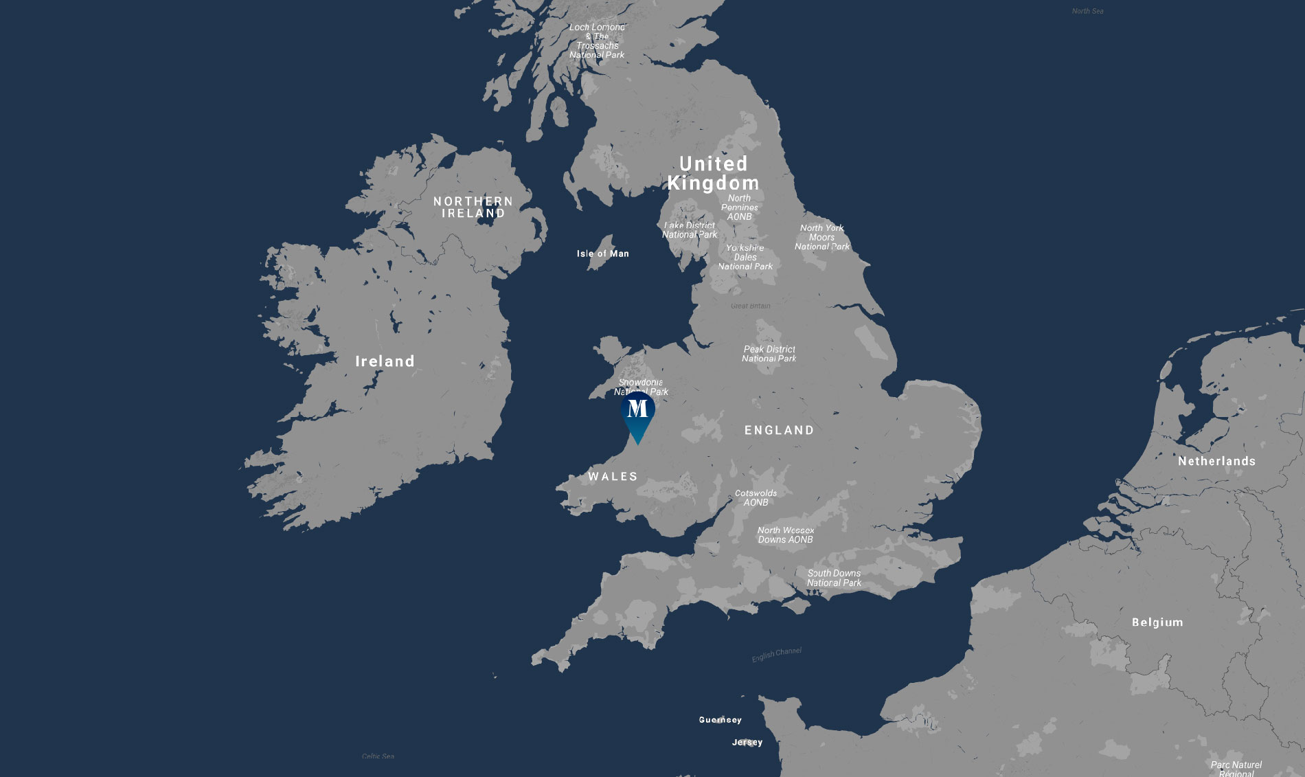
I’m on the Cambrian Way, a 291-mile route from Conwy on the North Wales coast to Cardiff on the other side of the country – my home country. They call it the ‘Mountain Connoisseur’s Walk’ and for good reason, it never takes the low, easy route but makes a stubborn point of staying high instead. I’m taking on 23,800 metres of ascent altogether, a brutal amount – double that of the only slightly shorter-in-length Pennine Way through England.

Right up until his passing in 2012, the path’s creator, Tony Drake, worked hard to get it official recognition but opposition from local councils and Mountain Rescue meant this was never achieved. They deemed the route to be too challenging.

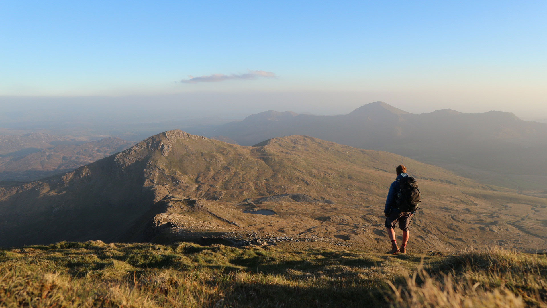
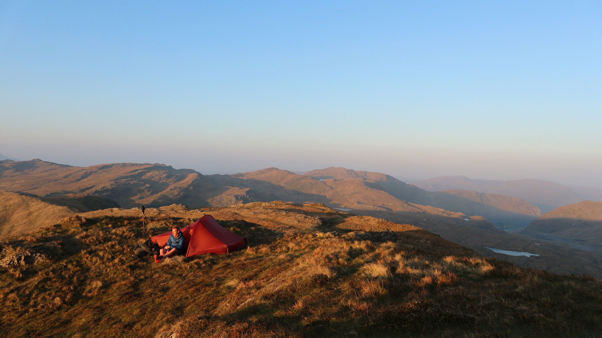
Pictured: Camping on Cnicht, a mountain also known as the “Welsh Matterhorn.”

As a consequence, and despite the best efforts of campaign group, the Ramblers, the Cambrian Way still remains almost totally unwaymarked. What this means, is that as well as having good stamina you also need to know how to carefully navigate your way through the wilderness – through places with nicknames like ‘the Desert of Wales’.

Since stepping off the train in Conwy, I’d hiked over Snowdon and the other major peaks of Snowdonia under clear blue skies, skies so clear I could count the amount of clouds I’d seen in that week with the fingers on one hand. Each evening I’d pitch on a mountain top and watch the setting sun turn the heather clad mountains around me red, then at nightfall I’d sit and enjoy the starry skies while I sipped away at cheap whisky.

Things had been going so well that I’d naively ignored the barman at the Last Inn of Barmouth. “I wouldn’t be going anywhere near Cadair Idris tonight if I were you,” he’d warned, “nasty storm coming in.”

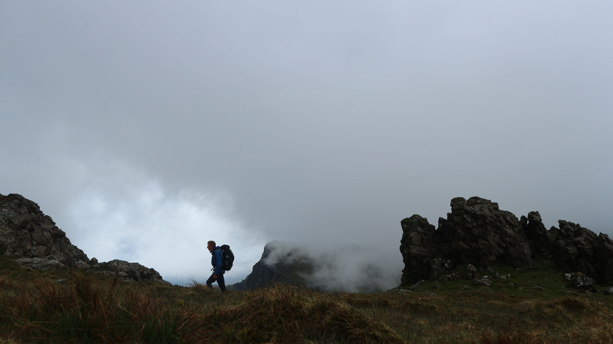
Pictured: In the mist on Cadair Idris

Alone in the Desert

On top of Cadair Idris, I sit in the summit shelter still feeling sorry for myself after the previous night spent sleeping in that toilet. I’m reluctant to step back out into the clag to carry on hiking, that is until I notice a line of sunshine creeping in the through the small window. I step outside and the brightness has returned and with it, my enthusiasm to keep going.

While I’m fairly used to the isolation of long distance walking, the days ahead of me take things to another level. Going through the wilderness of Mid Wales feels like I’m in some kind of frontier territory; a place of encounters that are brief, memorable, surprising and strange.

“The figure looks in my direction and stops, I wave to them but there’s no wave back”

The first is on Pumlumon, a broad mountain sat deep in the middle of one of Wales’ wildest and wettest parts. After hiking over a mist shrouded moorland for hours on end I spot a figure through a break in the clouds, a person dressed all in black, say 100 metres away from me.

They’re not carrying a backpack which strikes me as strange considering we’re over seven miles from the nearest road, and they’re not walking on a footpath either, at least not according to my map. The figure looks in my direction and stops, I wave to them but there’s no wave back.

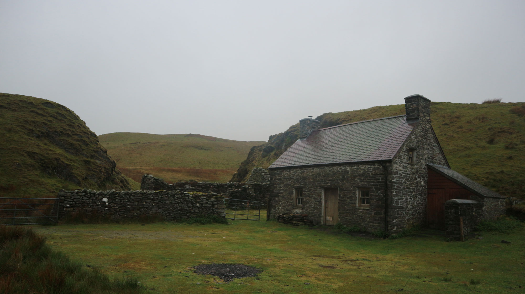
A day later and I’m deep into the Desert of Wales, more hiking through the marsh and the mist. That’s all it seems there is for miles and miles, but then I spot a chimney poking up from behind a tussock, and there’s smoke coming from it. It must be Claerddu Bothy. I open the door and am met with a smoke-filled semi-darkness. Someone calls out a hello.

Pictured: Claerddu bothy.

I find him sat by a fireplace, a man, surely not much older than me. “Is it just you by yourself?” he asks in a strange regional accent I can’t pick. After our introductions he takes me on a tour of the bothy. It’s big, well, big for a bothy, with three bedrooms, a big room with a fireplace and even a kitchen. There are only a few tiny windows and the gloomy light from outside fails to penetrate far leaving the corners of each room in darkness.

He tells me he’s been here for two days, and only been out for one quick walk before he retreated back inside. There’s no evidence to show how he’s been passing the time. “Just tending the fire and reading a little,” he tells me.

“Will you be staying the night?” he asks. I can’t explain why, but I know what answer he wants. “No I better get on,” I reply while pulling on my saturated waterproof jacket. Then, I’m back off on my way towards an invisible point in the moorland, following the needle of my compass

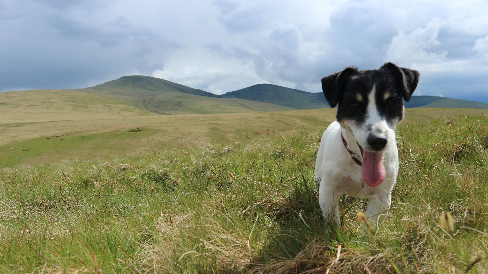
Pictured: Teilo.
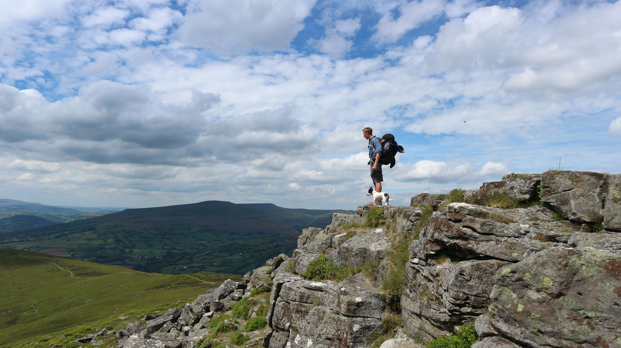
Pictured: Surveying the view from atop the Sugar Loaf
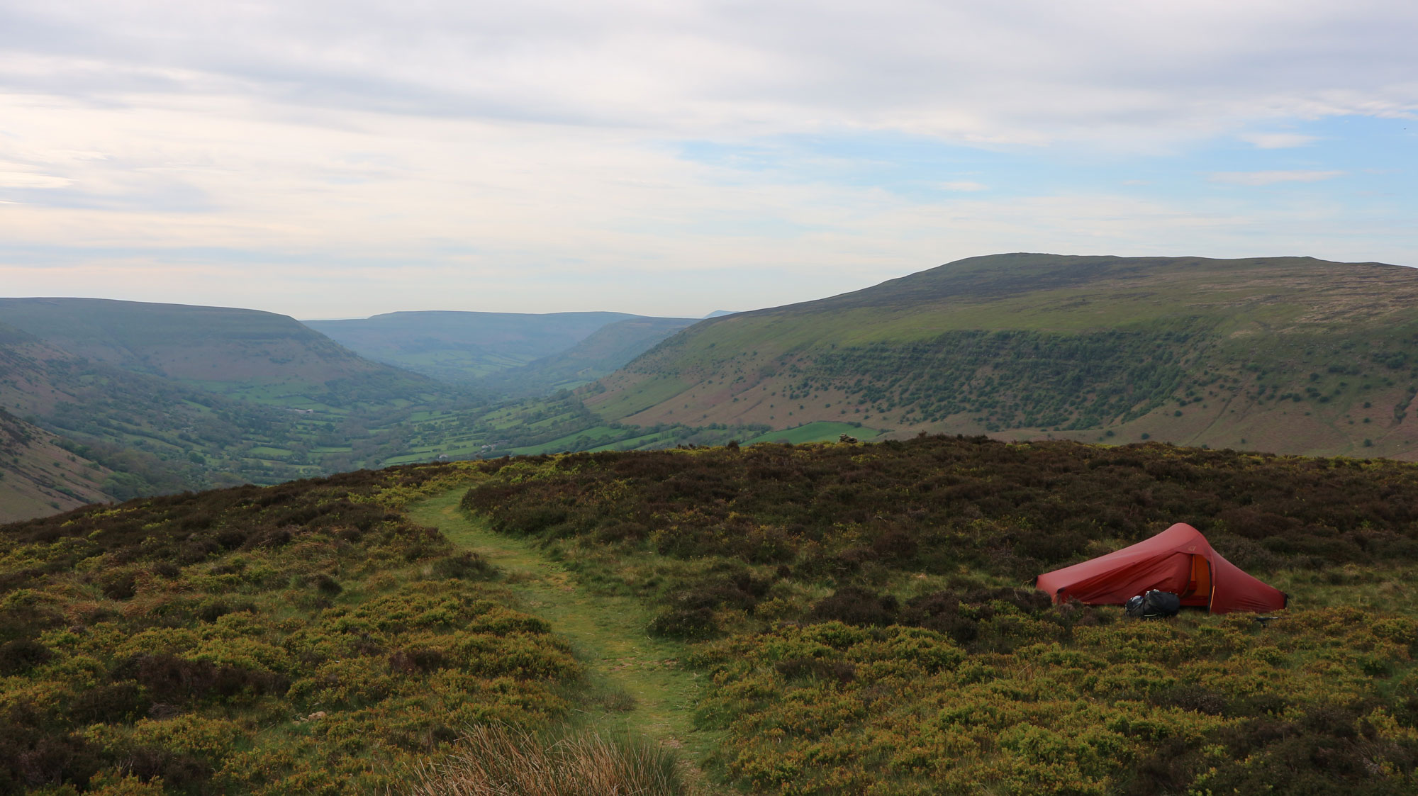
Pictured: Camping in the Brecon Beacons above the Vale of Ewyas.

Home Turf

Next is the Brecon Beacons National Park, which I need to traverse almost completely from west to east. As I make my way up the first of its mountains, the steep slope of Waun Lefirth, I spot a man hiking down towards me with a big backpack, a map case hanging around his neck and the steady walk and meditative gaze of a long-distance hiker.

“Where are you heading?” I ask him. “I am not sure, somewhere over there,” he replies in a thick French accent as he points to the hills in the distance. “I am walking the Cambrian Way.” He tells me it’s his first visit to Wales. What a way to see the country. It’s been 12 days of walking and he’s the only Cambrian Way hiker I’ve come across on this route.


View this post on Instagram


A post shared by Will (@will_renwick_) on

My dog Teilo is dropped off to join me for the last week and while I’m grateful for the company, it’s strange to have something to else to worry about other than the weather, my navigation and what I’m going to eat. But he’s a hardy little thing (despite being half chihuahua) and we’re both used to hiking big distances together.

I remember the first time he joined me on a long-distance walk, the Cotswold Way. When I pitched my tent up on the first night it took about an hour to coax him in. These days, he’ll be trying to get in before it’s even fully pitched, and I’ve stopped trying to prevent him from nuzzling into my sleeping bag now.

We follow along the red paths that cut across the mountains of the Brecon Beacons, a familiar place to me that’s only an hour’s drive from where I grew up. Then we switch to the peaty tops of the Black Mountains, those long ridges rising out of the patchwork fields below like the backs of cresting whales.

“Those long ridges rising out of the patchwork fields below like the backs of cresting whales”

On the evening of Day 16 of walking, I sit in my tent, pitched on a heather-coated moorland on the edge of the South Wales Valleys, and study my map for over an hour. I’ve got a decision to make: If I commit to a big day tomorrow I could reach Cardiff Castle and the end of the Cambrian Way by nightfall. But we’d need to cover at least 32 miles.

The next evening I come down from the hills, essentially for the first time during my entire journey, and hobble in the fading light along the river Taff through Bute Park. Teilo trots merrily as ever at my feet.

I pass through the park gates and stumble out into a scene that seems like complete chaos to me, even though it’s just a normal evening in Cardiff city centre. I’ve been away from crowds, noise, the rush and needless urgency long enough for it to now seem totally alien. In less than half an hour, I’m at my mum and dad’s house, still completely dazed by the transition.

Do It Yourself:

Distance: 291 miles / 468km

Total Ascent: Approx 23,800m
Estimated time: Around 20 days

I started from the north at Conwy, the common direction, however, is from Cardiff in the south. Cardiff Castle marks one end of the trail and Conwy Castle the other, both of which can be reached by train.

If 20 days in a row isn’t feasible, consider taking on the route in sections. It’s commonly broken down into three parts:

Part 1: Cardiff to Llandovery 112 miles

Part 2: Llandovery to Dinas Mawddwy 83 miles

Part 3: Dinas Mawddwy to Cowny 112 miles

Guidebooks

Cambrian Way: The Mountain Connoisseur’s Walk is the one and only printed guide to the trail. Written by the trail’s creator, Tony Drake, and now in its 7th edition, it’s an essential purchase that shows each stage in rough sketches, gives navigational and mileage advice and lists accomodation to be found.

Accommodation

With careful planning, those walking the Cambrian Way will be able to spend each night in a bed & breakfast or bunkhouse, however many hikers will choose to spend their nights under canvas, whether that’s in the wild, in a campsite, or a bit of both

A word on safety

The Cambrian Way is often considered to be one of the UK’s most demanding long distance routes due to the nature of the terrain crossed, the high total ascent and the overall length. It requires a decent level of fitness and endurance as well as proficiency in navigation over pathless ground, so any decision to walk the whole 291-mile path should not be taken lightly.

You May Also Like:

Stand Up Paddling on the South Coast | We Went on a SUP Yacht Adventure

Wild Camping in Wales | A Journey Between Fear and Peace on the Mountains of Snowdonia

Newsletter Terms & Conditions

Please enter your email so we can keep you updated with news, features and the latest offers. If you are not interested you can unsubscribe at any time. We will never sell your data and you'll only get messages from us and our partners whose products and services we think you'll enjoy.

Read our full Privacy Policy as well as Terms & Conditions.

production