People have a history of disappearing in Snowdonia. Owain Glyndŵr, after his 15-year rebellion against the English in the 15th century, was never killed. The rebellion over, he retreated into the northern mountains, and vanished. Hundreds of years before, King Arthur was supposedly slain on the slopes of Snowdon, fighting an army near Cwm Tragalan. After his death, his knights took his body to a cave on Y Lliwedd, where they wait to rise again.
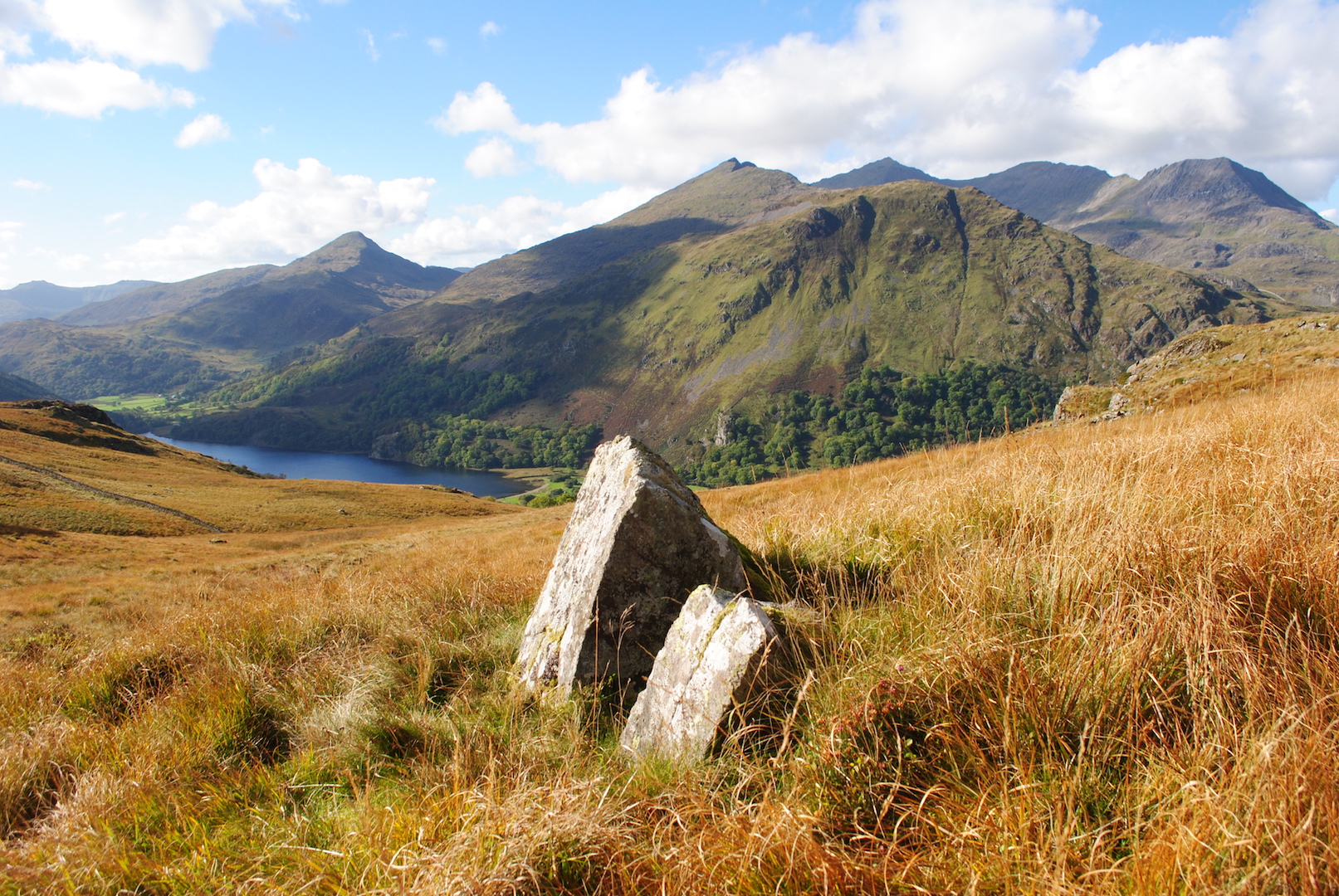
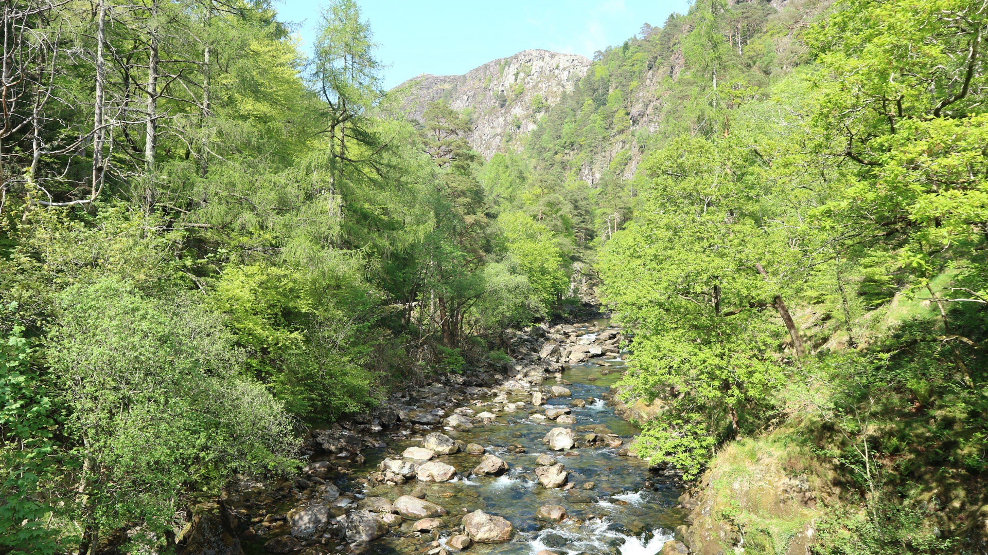
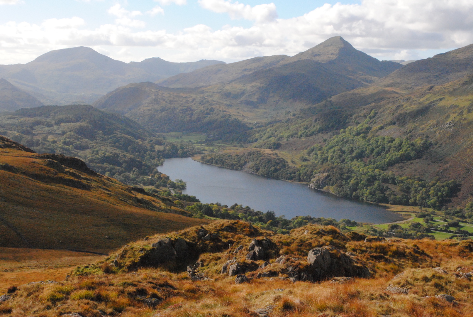
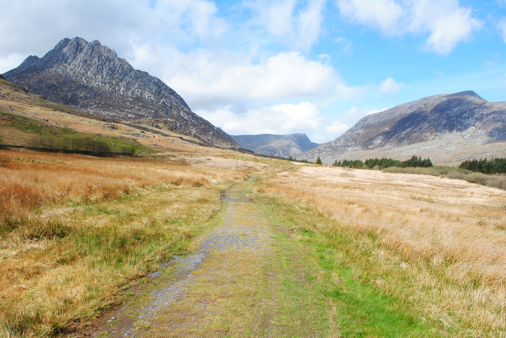
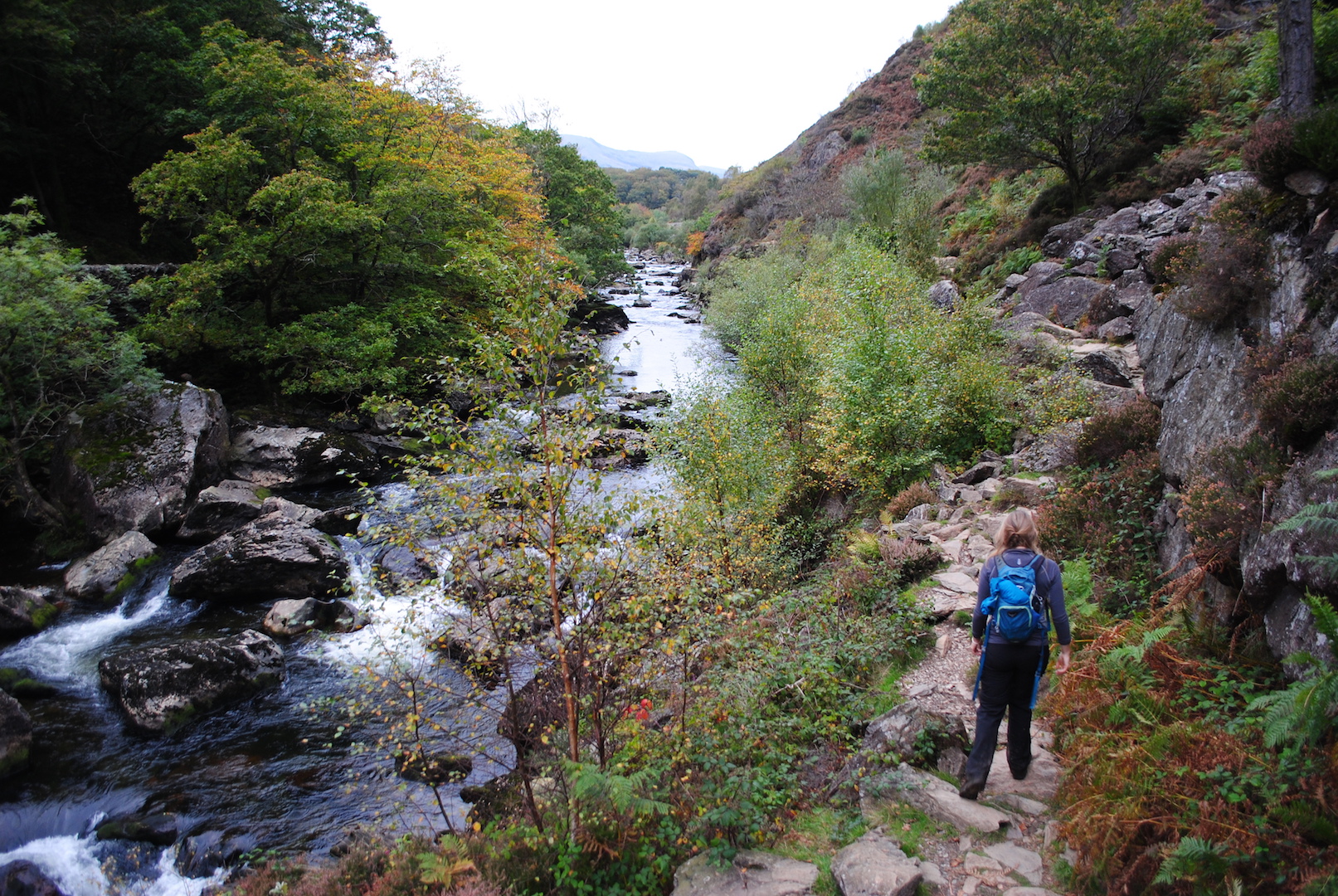
These are just two of the characters you’ll meet on the Snowdonia Way, the low-level long distance walking route I developed over two years, which makes its sinuous way through the Snowdonia National Park. Alongside history and myth, what you’ll discover over its 97 miles are the huge variety of landscapes in North Wales, from wildlife-rich wooded valleys to sandy estuaries and rocky mountain streams. You’ll see why it’s such a good place to disappear.
The Concept of the Snowdonia Way
My idea for the Snowdonia Way began with a map of the south Pennines. Northern England is blessed with an impressive range of long-distance trails, many marked onto maps and with their own waymarking. The endless opportunities for walking that these trails offer got me wondering why the same thing wasn’t there for Snowdonia.
