Spyglass
 Best for: Visual innovations and technical features
Key attributes: high tech compass, clever use of augmented reality
Price: $5.99 app purchase then $2.99 p/m
Available on: iOS and Android
Spyglass is without a doubt one of the most visually impressive apps on this list. It’s also incredibly unique in its technical and navigational feature options – it serves as binoculars, a hi-tech compass, a gyrocompass, a GPS receiver, a waypoint tracker, a speedometer, an altimeter, a sun, moon and star finder, a gyro horizon, a rangefinder, a coordinate converter, a sextant, an inclinometer, an angular calculator and a camera. And that list isn’t even exhaustive.
The app operates in 3D using an augmented reality to display real-time object positions, information and directions overlaid on top of the map. These augmented reality GPS technologies track exactly where you are using your surroundings and the data from your device.
The option to navigate by the stars is also definitely in a league of its own.
Read more: spyglassnav.com
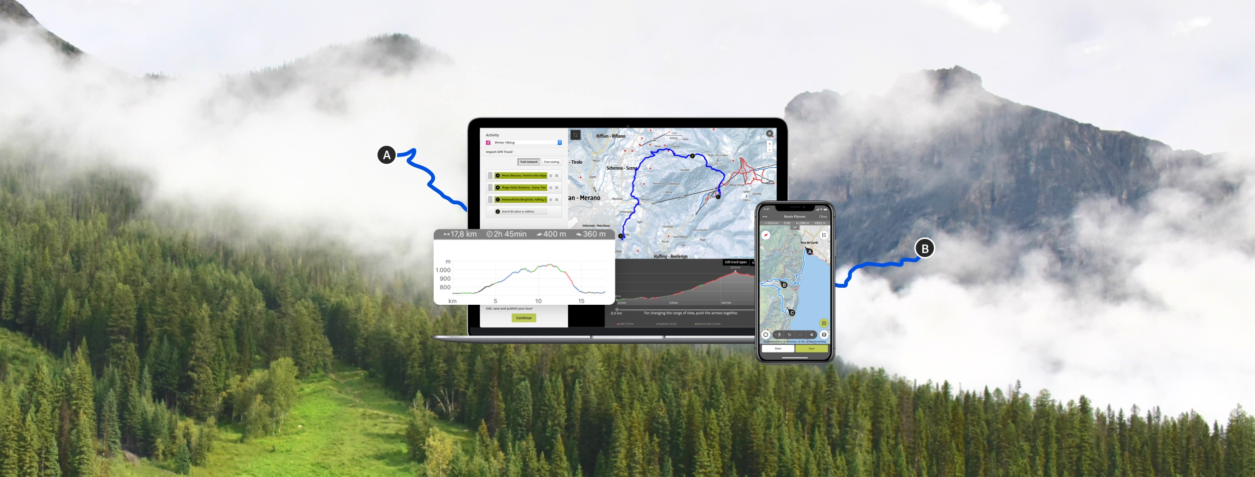
Footpath Route Planner
Best for: Ease-of-use and fast planning
Key attributes: very easy to use
Price: Basic: free, Single route: £1.99, Footpath Elite: £21.49 annually
Available on: iOS and Android
The Footpath Route Planner app literally maps routes using your finger. You tap the draw button and trace the outlines of a map with your finger. The app will then ‘snap to map’ and choose the best trail and road options according to your outline. You can also zoom in and customise specific segments further if you have points of interests (or pubs) you wish to stop at on the way.
Designed for any activity (even the SUP) in any country, you can share your adventures with your friends and also overlay your route line on top of your photos for memorable visuals.
The elite version will unlock turn-by-turn navigation, premium maps (with details such as cycle lanes and avalanche slope shading), organisation features, activity analysis and exporting and saving abilities. Your first five saved routes, however, will be free.
Read more: footpathapp.com
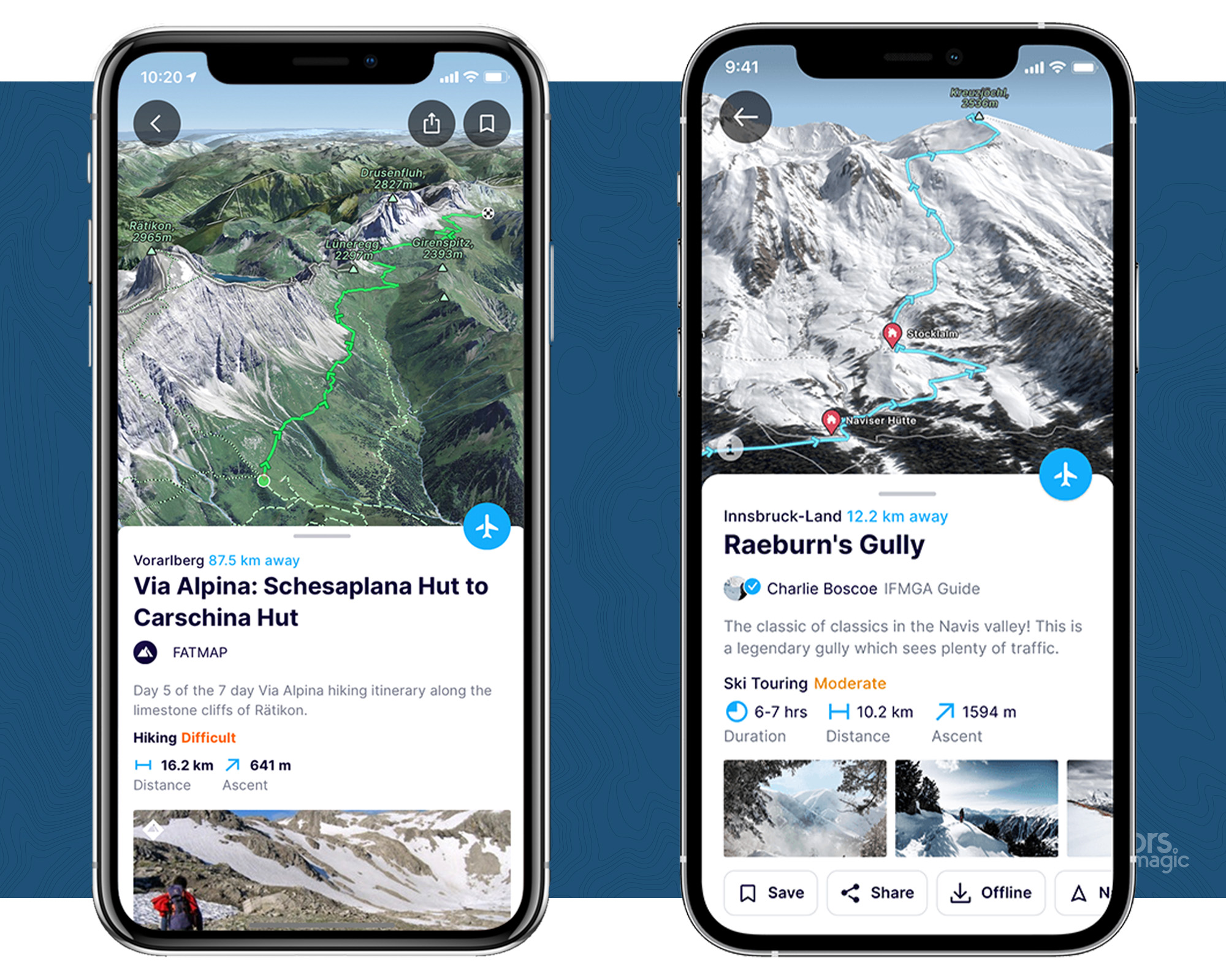
Maps 3D Pro
Best for: 3D Visualisation
Key attributes: 3D viewer
Price: £3.99 with in-app purchases
Available on: iOS
Maps 3D Pro is for the adventurer who prefers to be able to visually see terrain rather than just drawings, basic graphics or map coordinates.
With the topography all demonstrated in 3D, it allows you to visualise and inspect sections of hikes, so you can see the right line to take up a hill, perhaps, or search for possible wild camping locations away from the trails. You can also view distant landmarks, contour lines, water sources, towns, points of interest and the like. These routes can be stored, used offline and shared with your family and friends.
Related: A Beginner’s Guide To Wild Camping In The UK
It’s worth noting that this is the only app on this list that’s exclusively available with iOS systems.
Read more: movingworld.de
PeakVisor
Best for: Mountain hiking and winter sports
Key attributes: clever use of augmented reality, high level of detail
Price: Basic: free, Pro: $23.99 annually
Available on: iOS and Android
As you might have guessed, PeakVisor is the best app for mountainous terrain and is said to ‘make you a superhero of outdoor navigation’. It has a very cool design and identifies mountains using your camera and device data. The app will then tell you where you are based on recognition of these peaks, giving you information about the surrounding areas including elevation levels, trails, summits, passes, viewpoints and much more.
Due to the level of detail PeakVisor provides on mountains, it’s also incredibly handy for skiing trips when you want to identity what’s around you or find specific ski resorts, mountain lifts, ski runs and the like.
On another note – this app is actually really fun to mess around with when you’re at home too. You can inspire adventures and identify mountains hundreds of miles away from the comfort of your own bed.
Read more: peakvisor.com
Main Photo: Outdooractive
You May Also Like:
Best GPS Watches
Long-Distance Walking Is Brilliant For Your Mental Health – Here’s The Evidence
5 Of The Best Scrambling Routes In Snowdonia